In the rapidly evolving landscape of engineering and construction, precision and efficiency have become the twin pillars of project success. Central to this transformation are modern Surveying Instruments, which have evolved far beyond their traditional roles as simple measurement tools.
Tasks that once required days of manual work can now be completed in hours, with greater accuracy and fewer resources.
How Modern Surveying Instruments Are Reshaping Engineering Workflows?
The integration of advanced technology into surveying equipment has created a paradigm shift in engineering operations. Here’s how these instruments are transforming workflows:
Real-Time Data Collection and Processing
Modern Surveying Instruments eliminate the traditional gap between field data collection and office processing. With GNSS RTK (Global Navigation Satellite System Real-Time Kinematic) technology, surveyors achieve centimeter-level accuracy in real-time, enabling immediate quality control and on-site adjustments. This instant feedback loop reduces costly rework and accelerates decision-making.
GNSS receivers utilize multiple satellite constellations—GPS, GLONASS, Galileo, and BeiDou—to provide reliable positioning even in challenging environments like urban canyons or tree-covered areas. The ability to capture precise coordinates on the fly means that engineering teams can verify measurements immediately, rather than discovering errors days later during office processing.
Single-Operator Efficiency Through Robotic Technology
Robotic total stations have revolutionized field productivity by enabling single-operator workflows. These instruments automatically track prism targets, allowing one person to control measurements remotely while positioning the prism at survey points. The efficiency gains are substantial—reducing labor costs while maintaining or even improving data quality.
This capability proves especially valuable on large construction sites where traditional two-person crews would struggle to cover ground efficiently. A single surveyor can now accomplish what once required a team, dramatically improving project economics.
Seamless Software Integration and Digital Workflows
Contemporary surveying equipment connects directly with CAD software, GIS platforms, and cloud-based data management systems. This connectivity ensures that field measurements flow effortlessly into design models, progress tracking systems, and final deliverables. The result is a streamlined workflow from initial site survey through construction completion, with reduced manual data entry and fewer opportunities for transcription errors.
Digital data capture eliminates the need for handwritten field notes, reducing transcription errors and accelerating the path from field measurement to final deliverable. Many modern instruments feature onboard software that performs calculations instantly, providing results while the surveyor is still on site.
Automation and AI-Enhanced Capabilities
Leading manufacturers are incorporating artificial intelligence and automation into their instruments. These smart features help identify potential issues before they become problems, suggest optimal measurement strategies, and even predict maintenance needs—further reducing downtime and improving efficiency.
For example, modern total stations can automatically identify and measure standard features, reducing the cognitive load on operators and minimizing the risk of human error. This automation allows surveyors to focus on higher-level tasks like quality control and client communication.
Versatility Across Measurement Tasks
Modern Surveying Instruments are designed to handle diverse measurement requirements. Total stations excel at precise angle and distance measurements for building layout and boundary determination. GNSS receivers provide efficient positioning for large-area surveys and topographic mapping. Laser scanners capture millions of points per second, creating detailed 3D models of existing conditions.
This versatility means that engineering teams can select the right tool for each specific task, optimizing both accuracy and efficiency across the entire project lifecycle.
Types of Surveying Instruments
Understanding the range of available instruments helps professionals select the right tools for specific applications:
Total Stations
Total stations combine electronic distance measurement with angular measurement for comprehensive spatial data collection. Modern robotic total stations offer high precision and reflectorless measurement capabilities, making them essential for precision tasks like building layout, bridge construction, and tunnel alignment. According to JJG100 specifications, total stations integrate electronic theodolites, distance meters, microcomputers, and data recorders into a single powerful instrument.
GNSS/GPS Receivers
These satellite-based positioning systems form the backbone of modern surveying. High-precision GNSS receivers deliver centimeter-level accuracy for boundary determination, topographic mapping, and construction layout. When choosing between GNSS and GPS-only receivers, consider that GNSS systems offer higher precision and stability by accessing multiple satellite constellations, though they typically require higher investment.
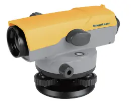
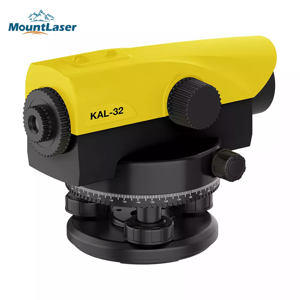
Levels and Automatic Levels
Levels measure height differences between points and remain indispensable for foundation work, road grading, and monitoring structural settlement. Modern automatic levels feature magnetic dampening compensators that automatically level the line of sight, reducing setup time and improving accuracy. For example, the AT-B2 automatic level offers 32X magnification and 0.7mm accuracy per kilometer, with IPX6 water resistance for reliable field performance.
Theodolites
Theodolites measure horizontal and vertical angles, serving as the foundation for many surveying tasks. While traditional optical theodolites are still used, electronic theodolites offer digital readouts and data recording capabilities that streamline workflows. These instruments are widely used for control surveys, topographic mapping, and construction layout.
3D Laser Scanners and LiDAR Systems
Laser scanning technology captures millions of data points per second, creating detailed 3D models of existing conditions. Terrestrial laser scanners document complex structures, while mobile systems enable rapid coverage of large areas. This technology proves invaluable for as-built documentation, deformation monitoring, and heritage preservation.
Electromagnetic Distance Measuring Instruments
EDM instruments use electromagnetic waves to measure distances with high precision. Modern EDM instruments achieve accuracies of 5mm + 5ppm or better, dramatically improving both efficiency and accuracy compared to traditional tape measurements. These instruments are widely used for control surveys, and construction layout.
Laser Measurement Instruments
Laser-based instruments include laser levels, laser plummets, and laser scanners. Laser levels project horizontal or vertical reference planes for construction layout, while laser plummets ensure precise vertical alignment for high-rise construction. These instruments leverage the directionality and visibility of laser beams to create clear reference lines for positioning and alignment tasks.

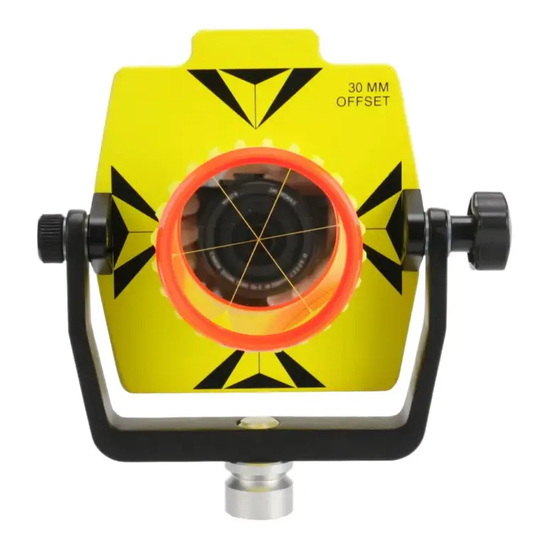
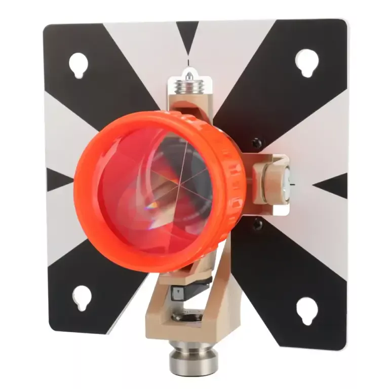
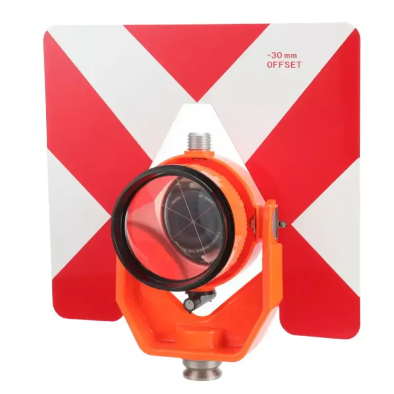
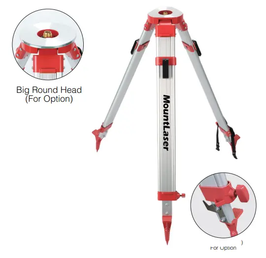
Surveying Accessories
Complete surveying systems require quality accessories including tripods, prisms, poles, and tribrachs. Mountlaser offers a comprehensive range of accessories including prisms, prism poles, GPS poles, tripods, and leveling staffs, all manufactured to exacting standards for reliable field performance.
What to Consider When Buying Surveying Instruments?
Define Your Specific Requirements
Different surveying projects have different requirements. For building surveys, you need instruments that accurately measure various building components, while land surveys demand higher precision. Consider your typical work environment—open fields may require long-range measurement capabilities, while construction sites demand compact, rugged instruments with water and dust resistance.
Evaluate Accuracy Needs
Accuracy is a critical consideration, but higher precision typically commands higher prices. For routine surveying work, 3mm accuracy may suffice, while specialized applications may require tighter tolerances. Match instrument specifications to your actual needs rather than simply seeking the highest precision available.
Consider Instrument Types Based on Applications
Different applications call for different instrument types :
Total stations suit diverse tasks including topographic surveys, building layout, and engineering surveys
GNSS receivers excel at large-scale projects requiring precise positioning
Laser distance meters provide rapid measurements when speed is prioritized over ultimate precision
Assess Ease of Use and Features
Professional surveying requires specialized knowledge, but overly complex instruments can slow productivity. Choose instruments with intuitive interfaces that match your team’s skill level. Consider features like data recording and export capabilities that streamline post-processing workflows.
Consider Total Cost of Ownership
Look beyond initial purchase price to consider calibration requirements, maintenance needs, and potential upgrade paths. Quality instruments from reputable manufacturers often provide better long-term value through extended service life and reliable performance.
Check Compatibility with Existing Equipment
If you’re adding to an existing instrument fleet, ensure new purchases work with your current accessories and software. Standard thread sizes (5/8″-11) and data formats facilitate integration with existing workflows.
Conclusion: Partner with Mountlaser for Quality Surveying Instruments
The transformation of Surveying Instruments from simple measurement tools to intelligent, connected systems has fundamentally altered engineering workflows. Today’s professionals can accomplish twice the work in half the time, with greater accuracy and fewer resources than ever before. Whether through robotic total stations enabling single-operator crews, GNSS receivers delivering real-time centimeter positioning, or laser scanners capturing comprehensive site data efficiently, modern surveying equipment delivers the efficiency gains that competitive engineering firms require.
As you evaluate your equipment needs, consider not just the instrument itself but the entire ecosystem of support, software, and services that will maximize your return on investment. When you’re ready to acquire reliable, high-performance Surveying Instruments, contact Mountlaser—a trusted Surveying Instruments committed to providing precision equipment that meets the rigorous demands of modern engineering projects.