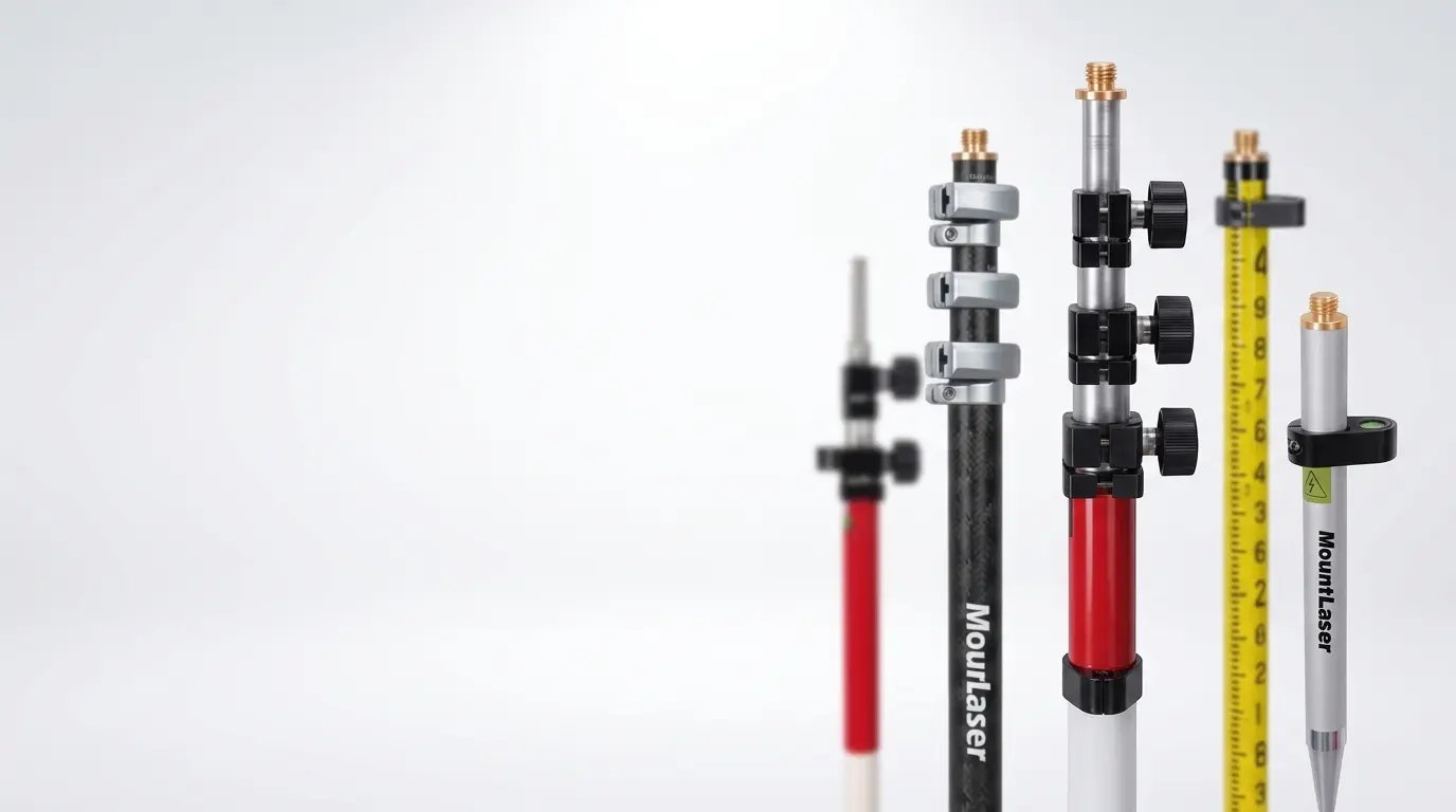
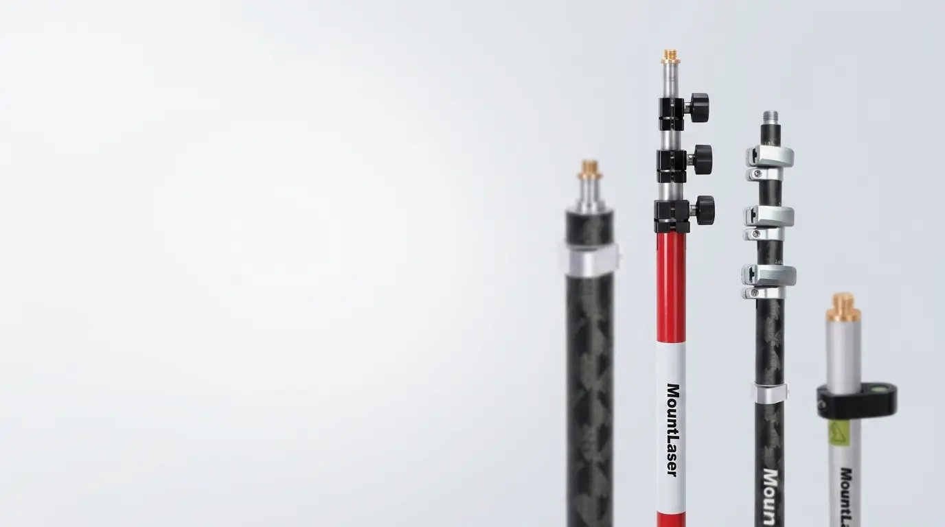
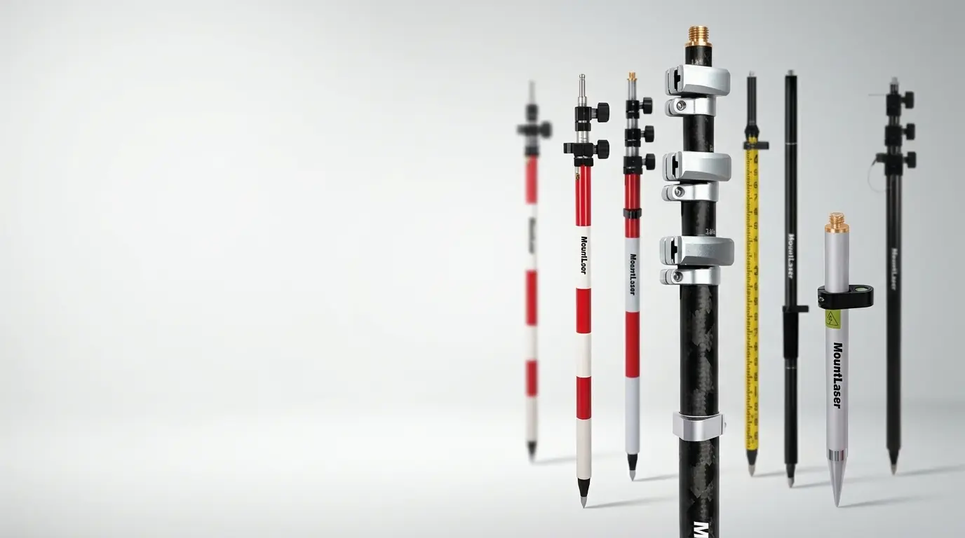
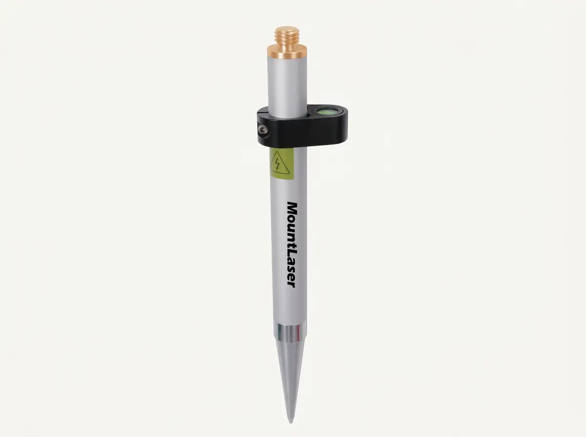
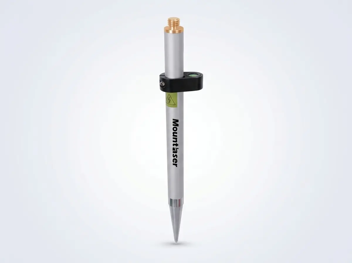
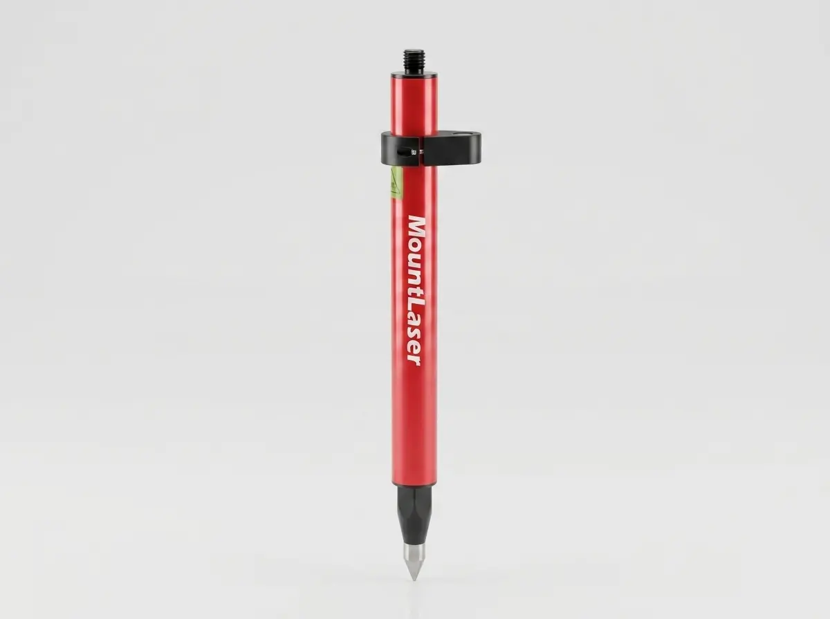
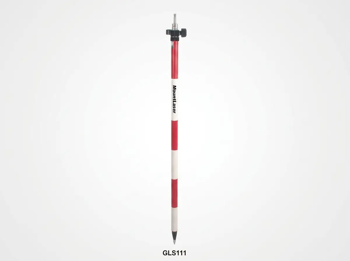
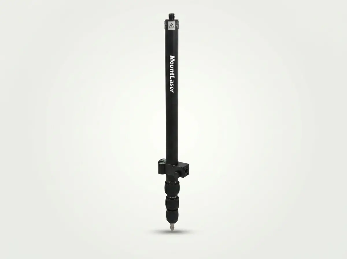
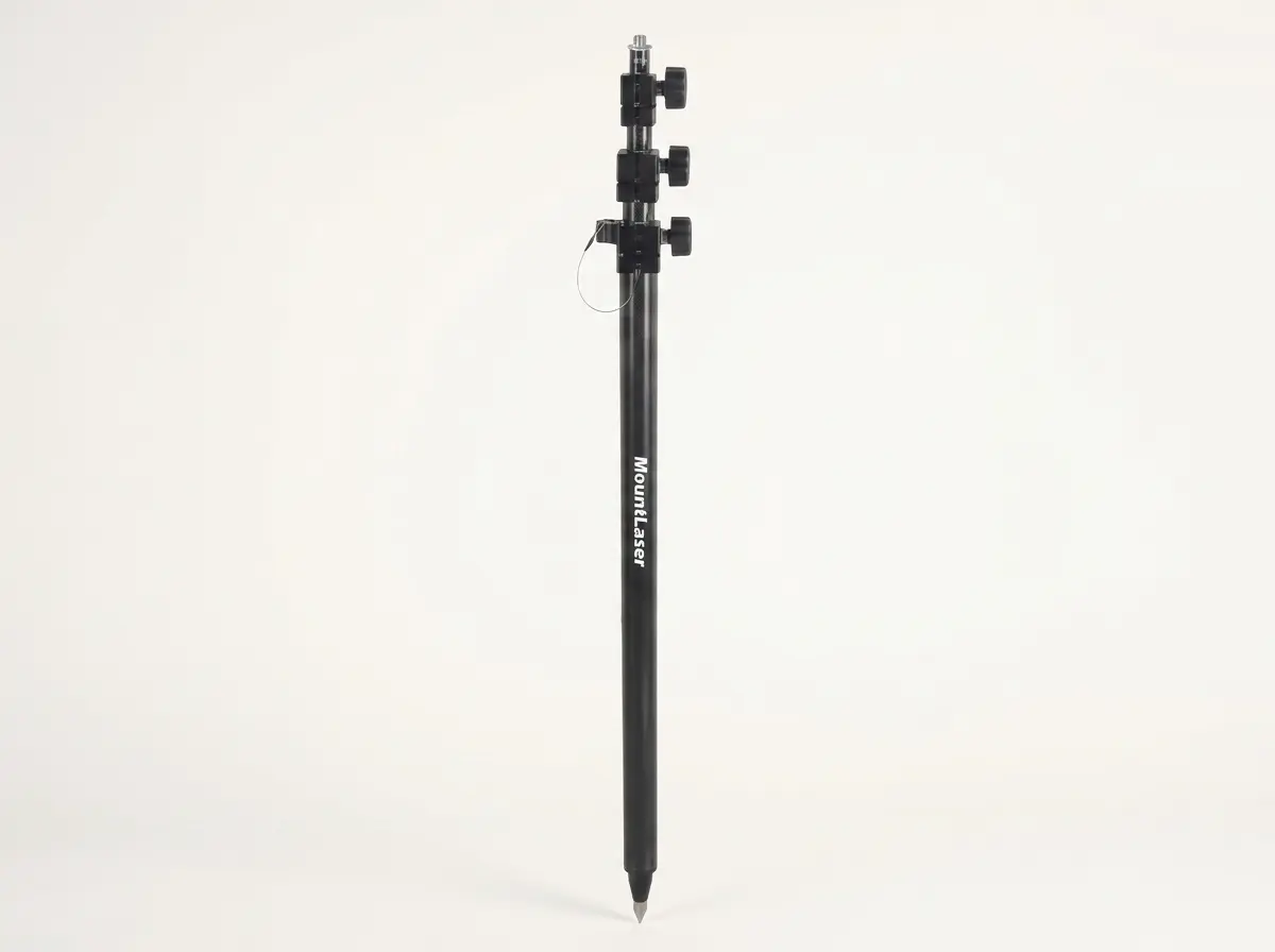
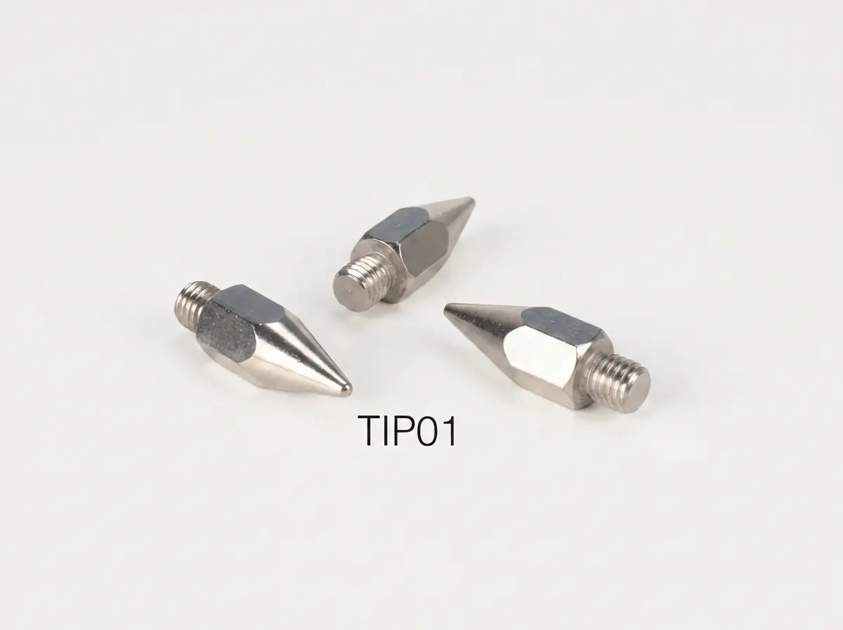
Aluminum Mini Prism Pole
11 Models

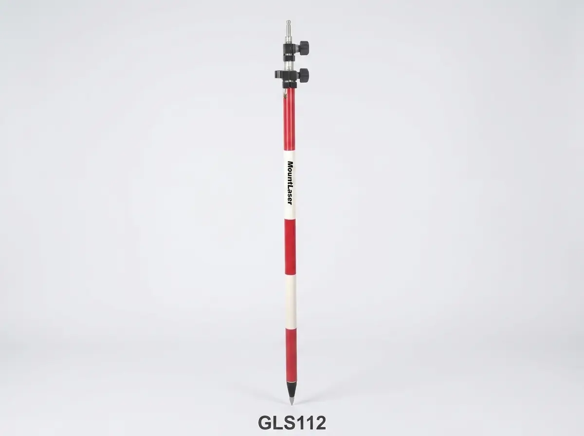
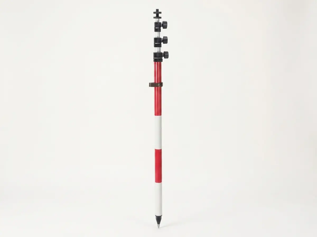
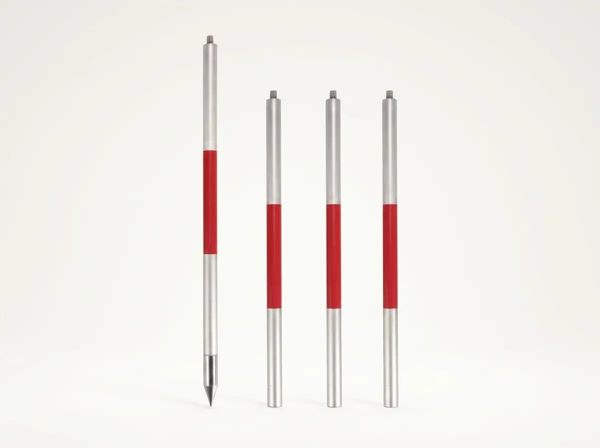
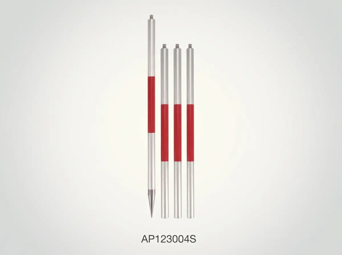
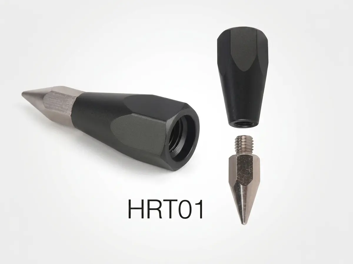
Aluminum Prism Pole
7 Models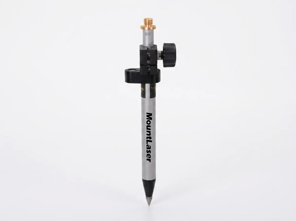
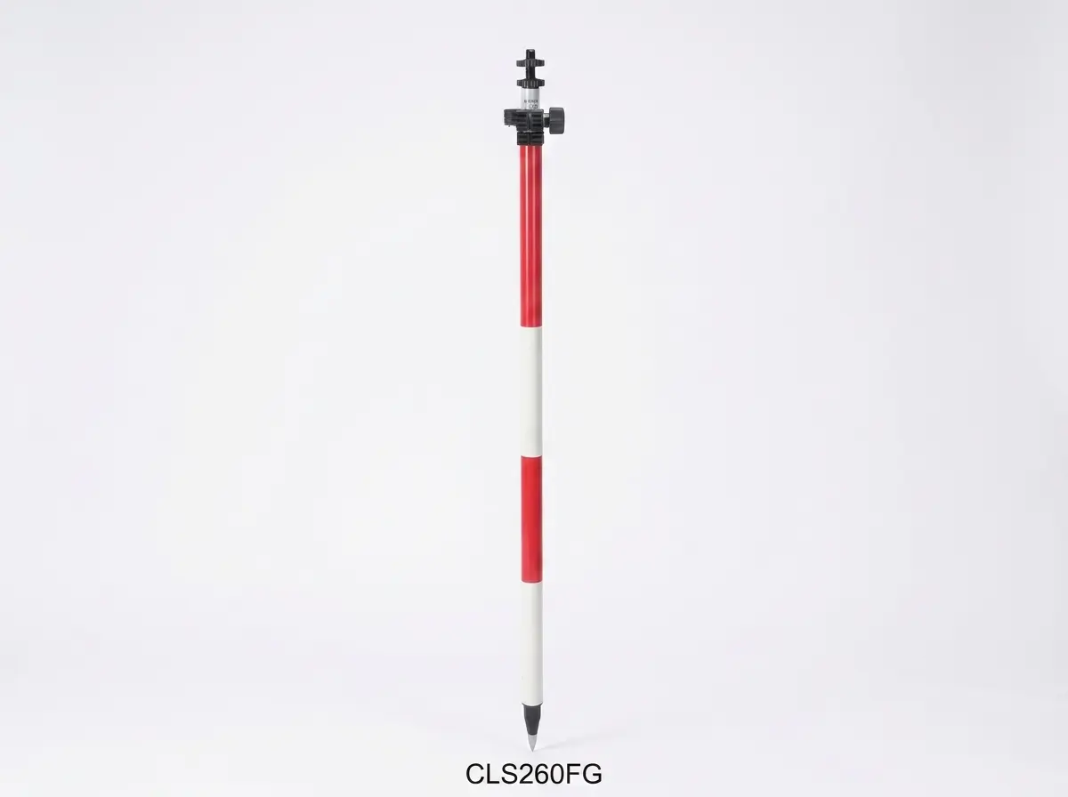
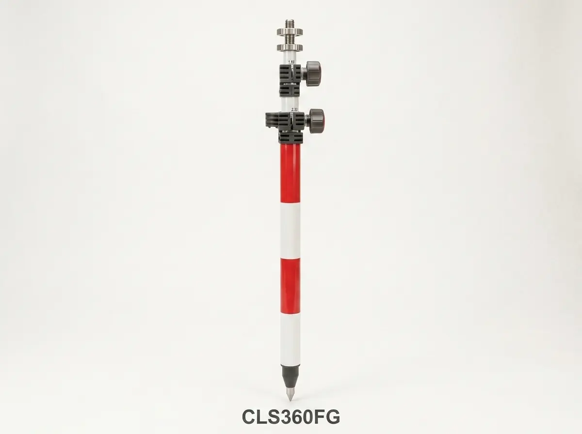
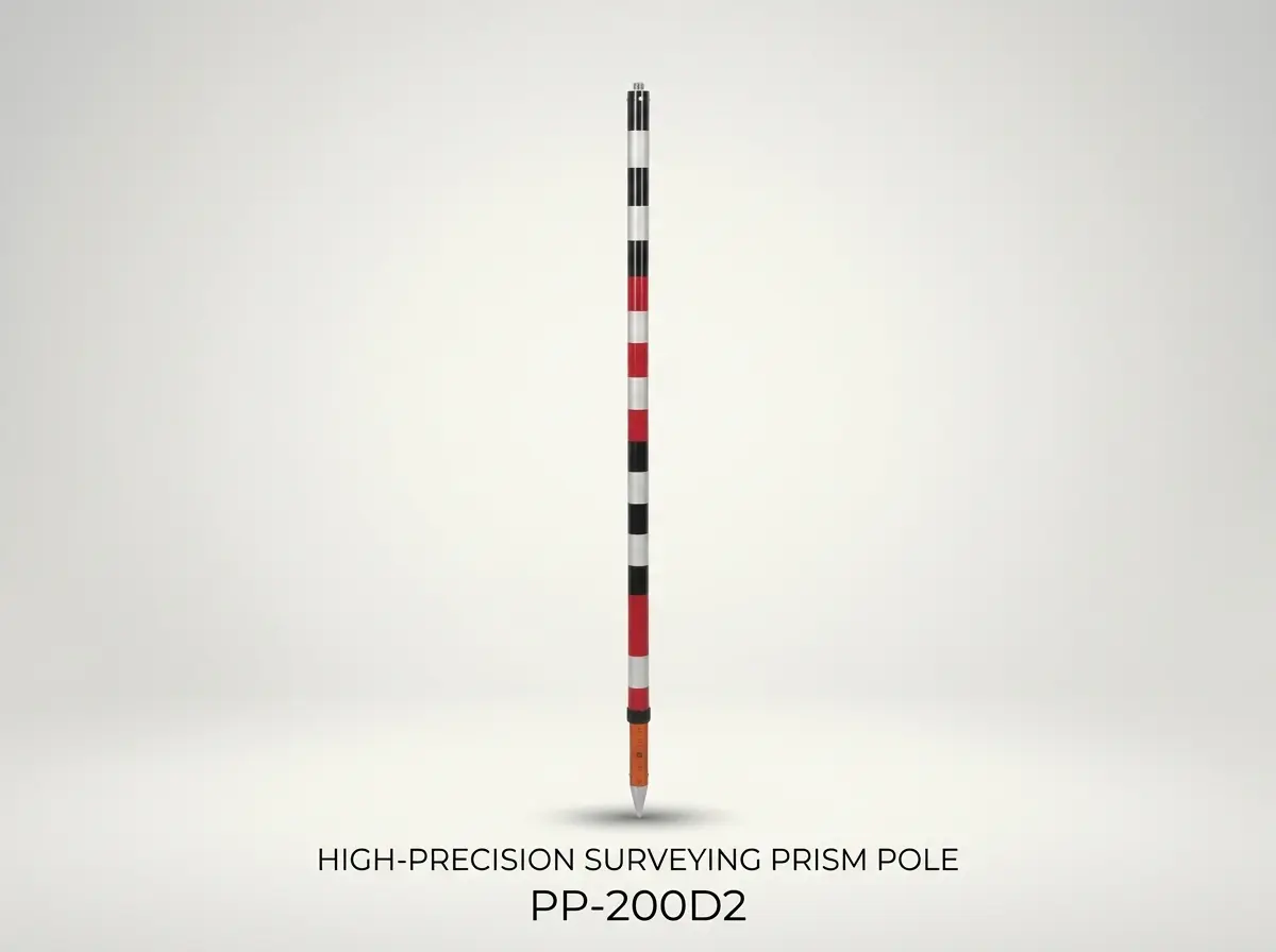
Fiberglass & Special Prism Pole
9 Models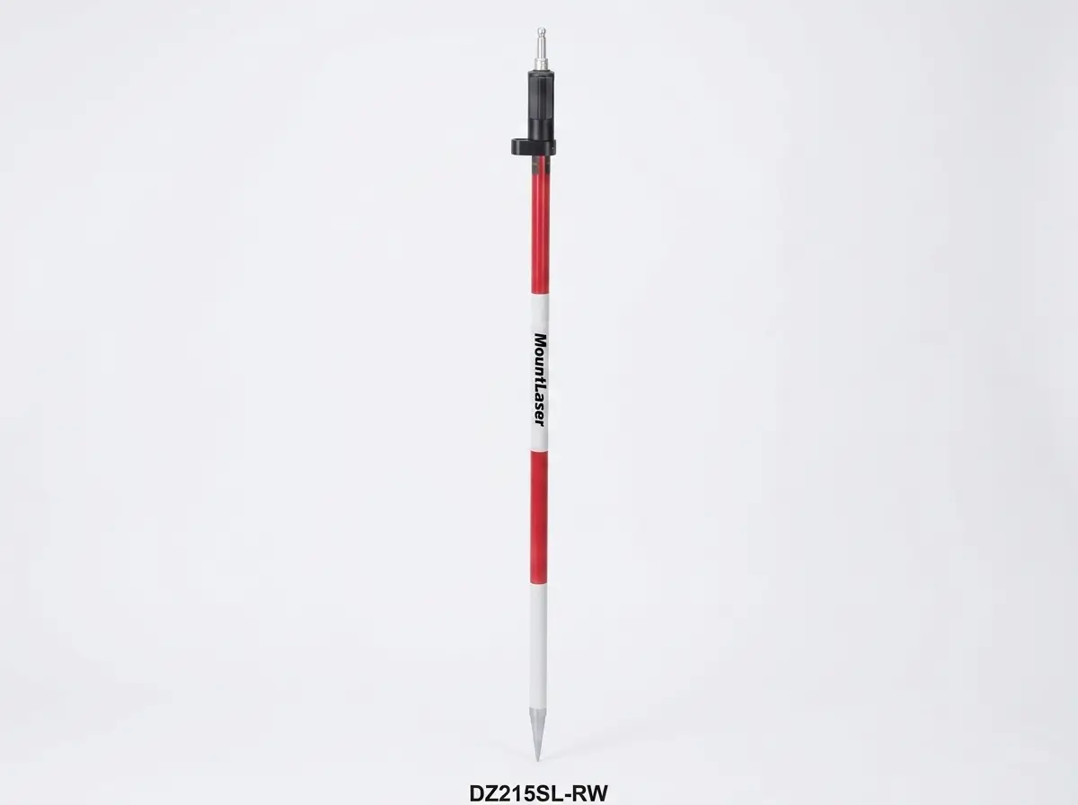
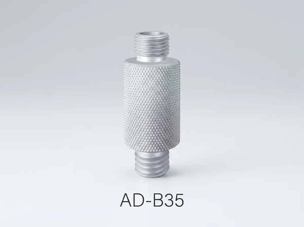
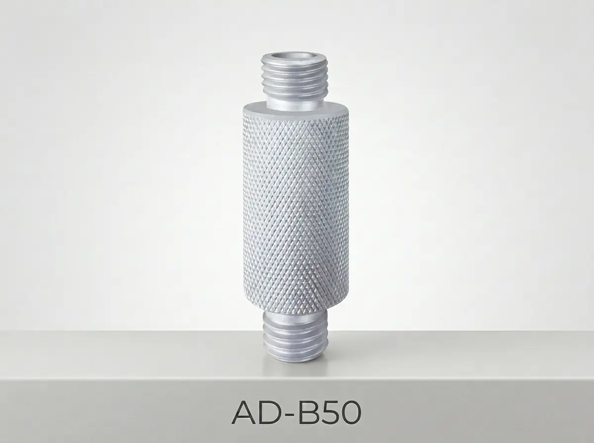
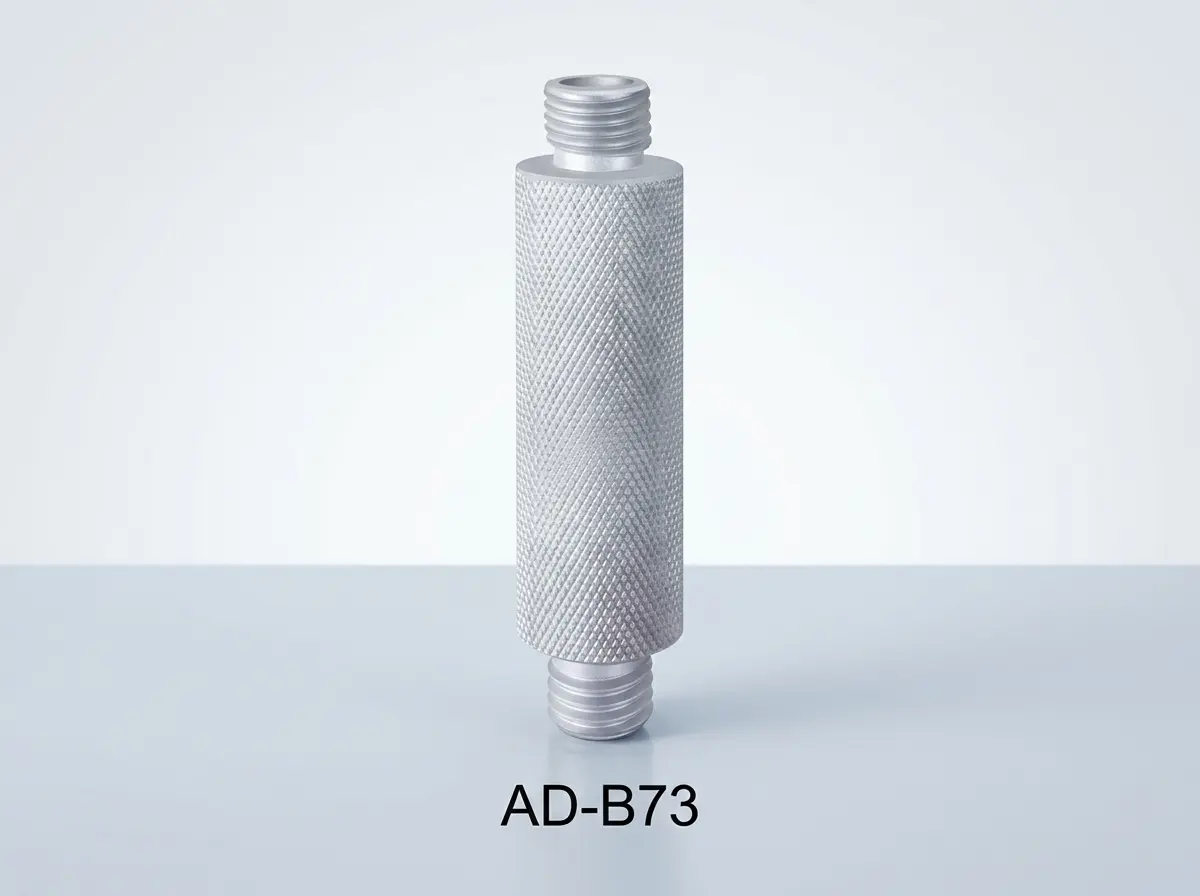
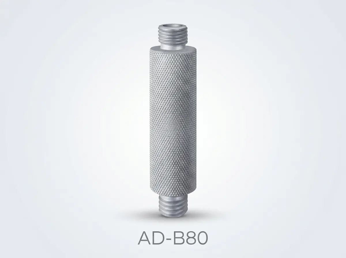
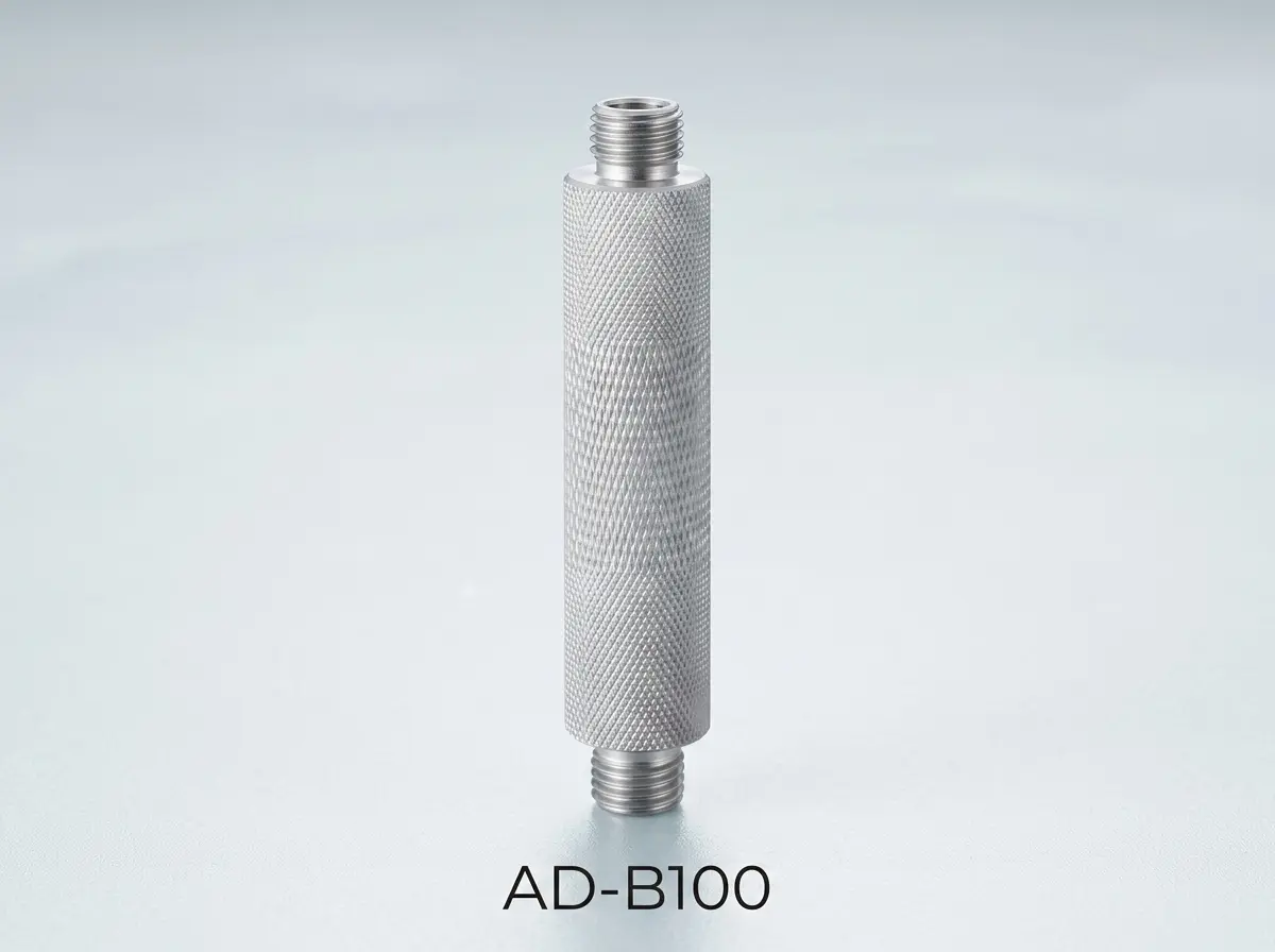
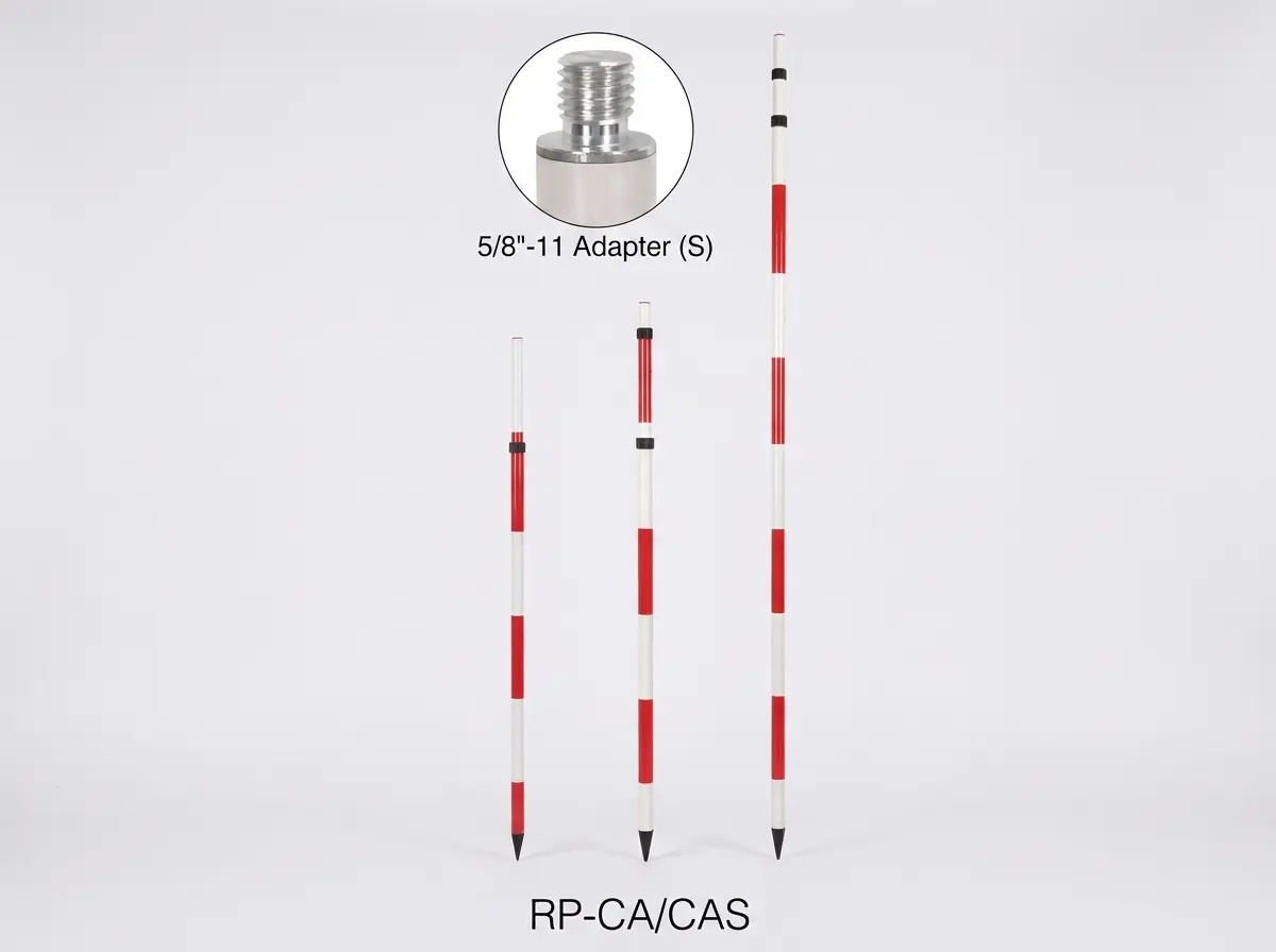
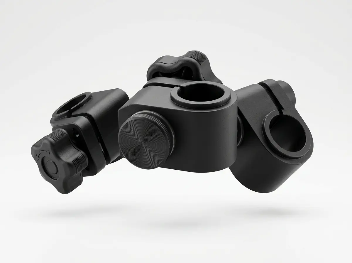
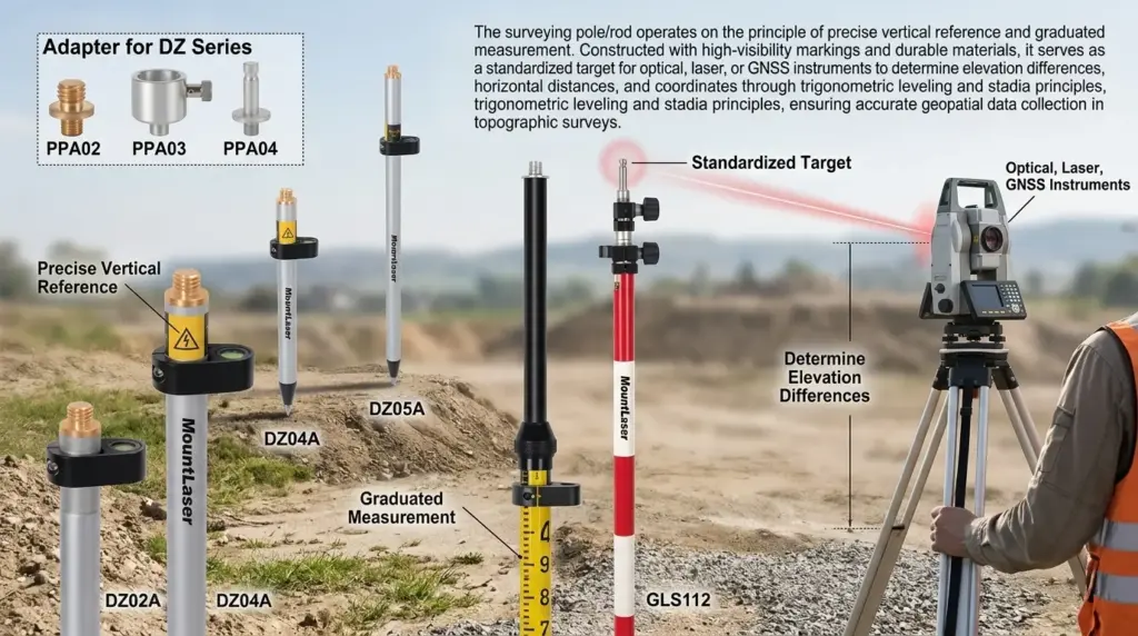
Interchangeable Pole Adapter
11 Models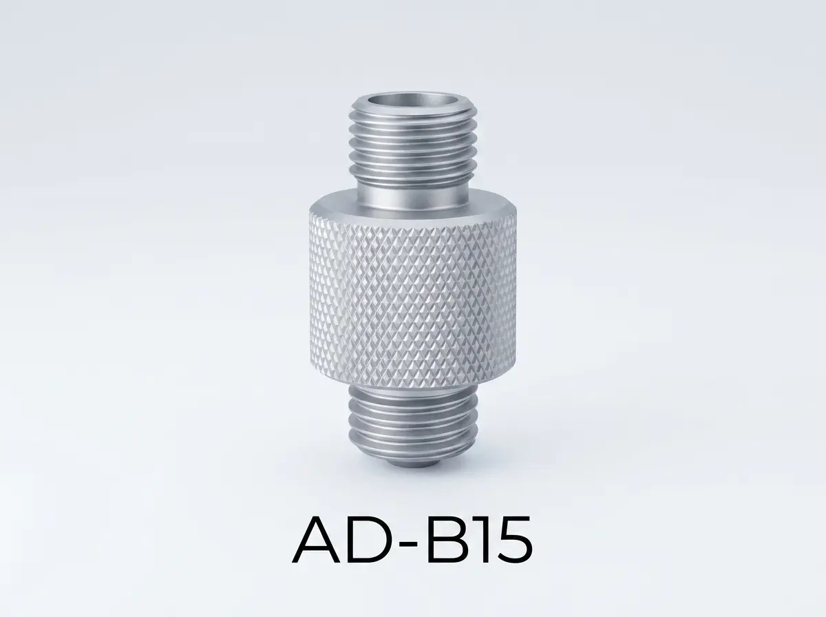
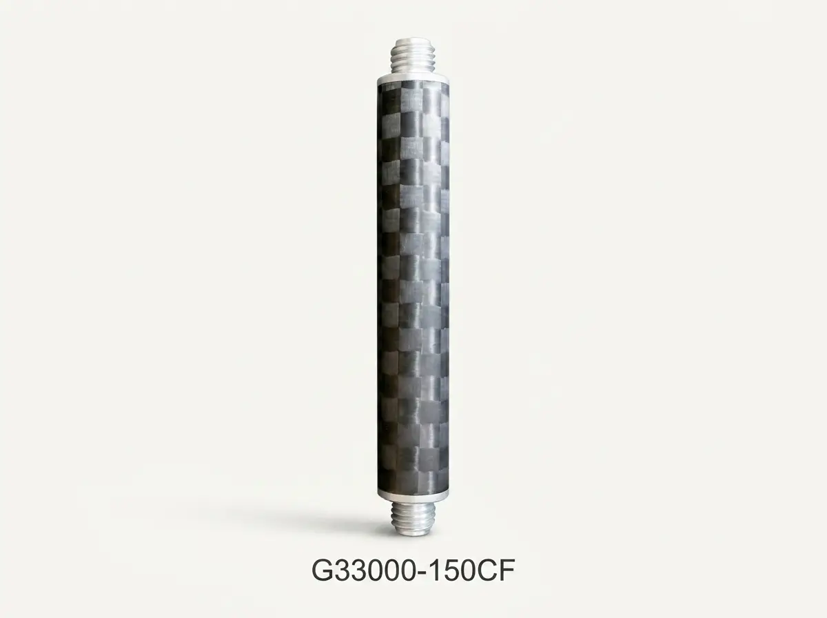
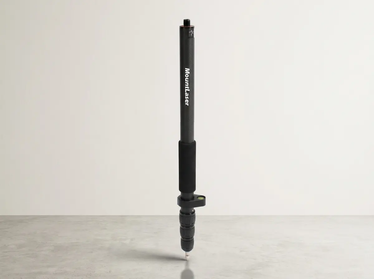
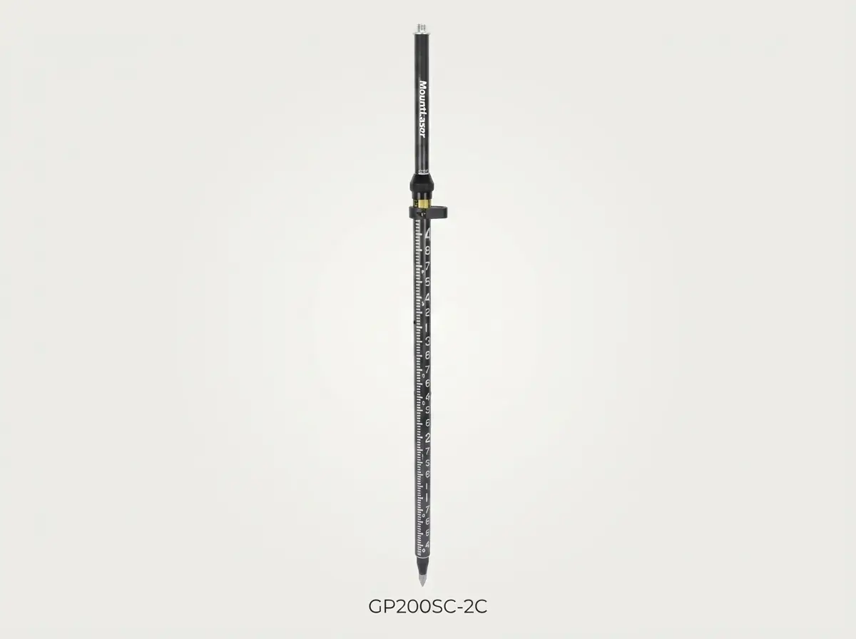
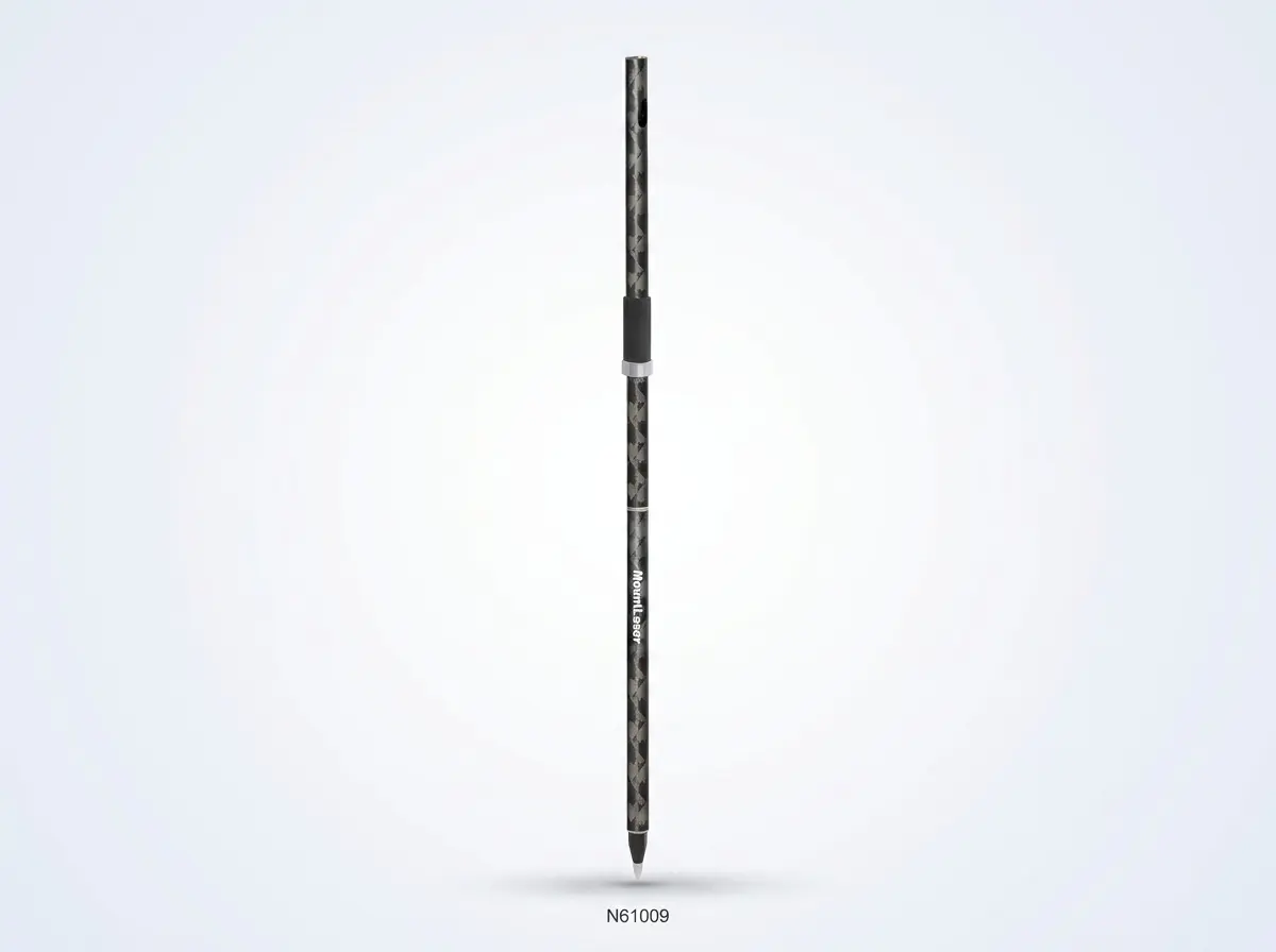
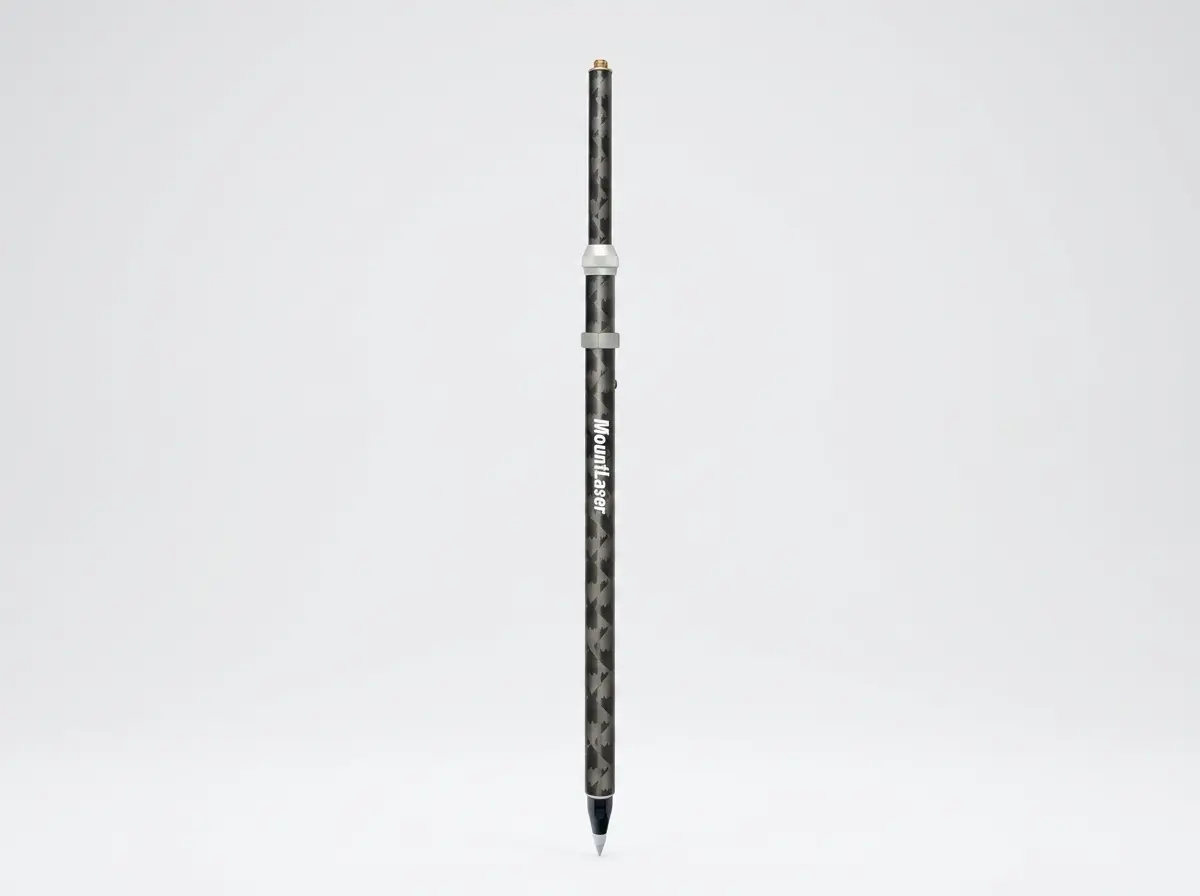
Carbon Fiber Mini Pole
3 Models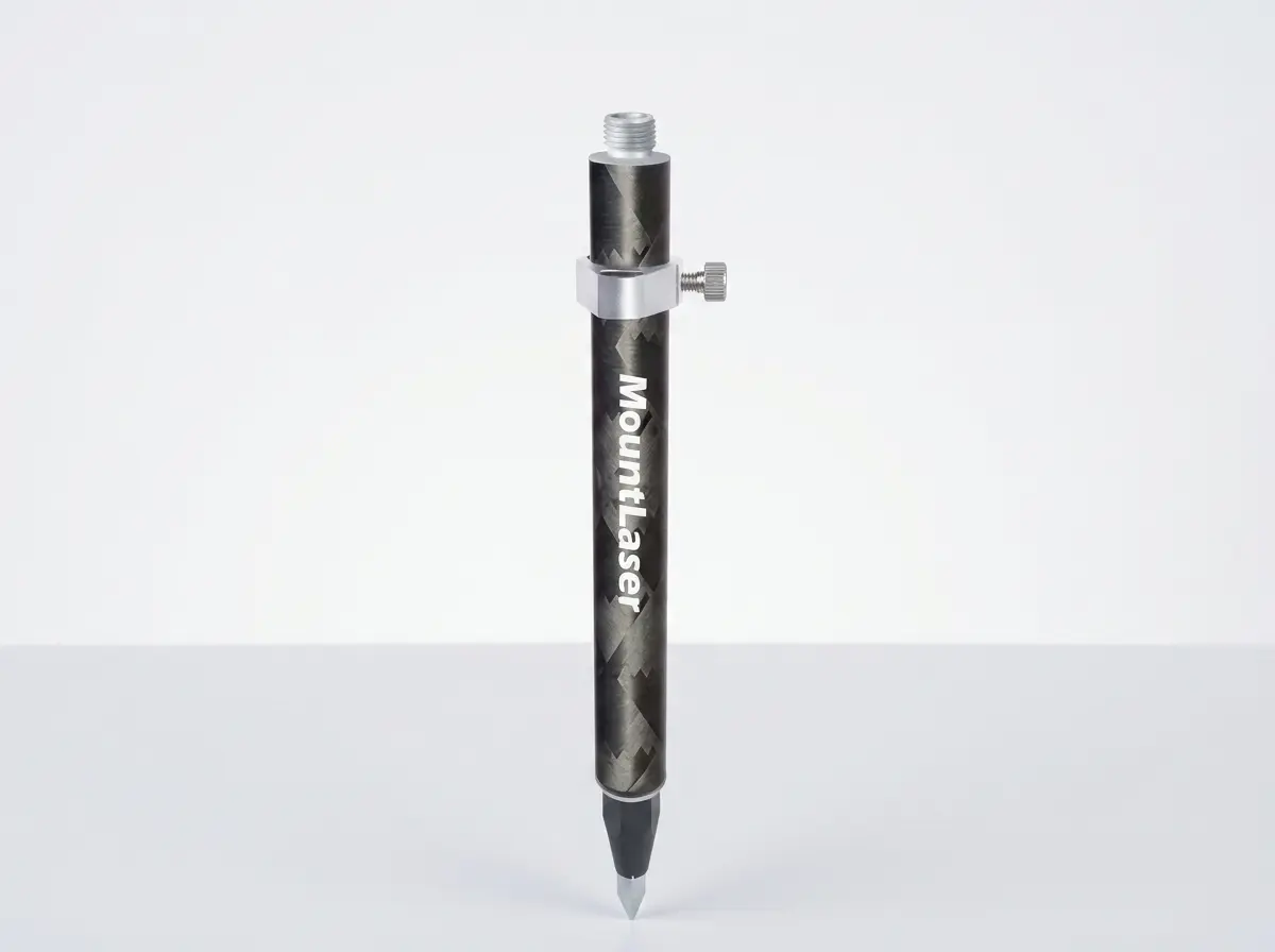
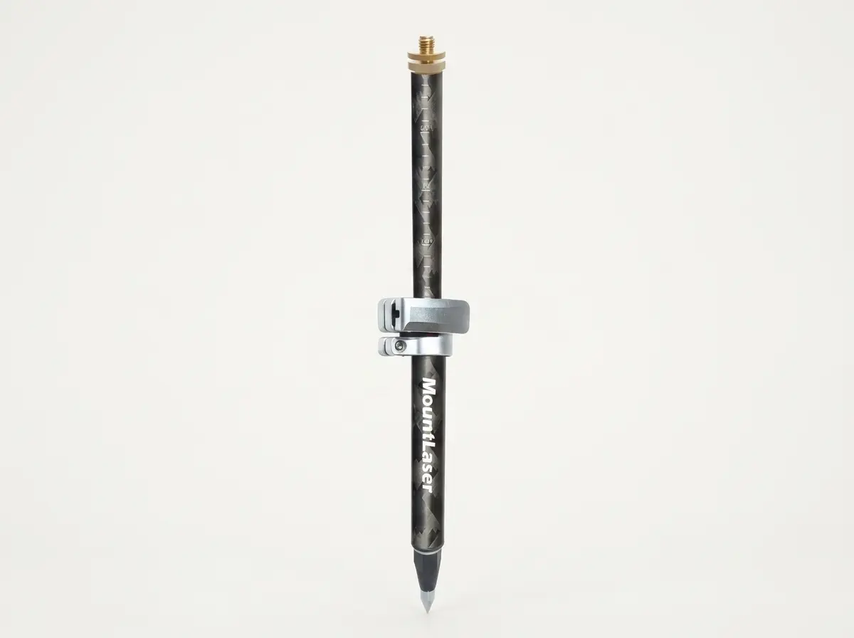
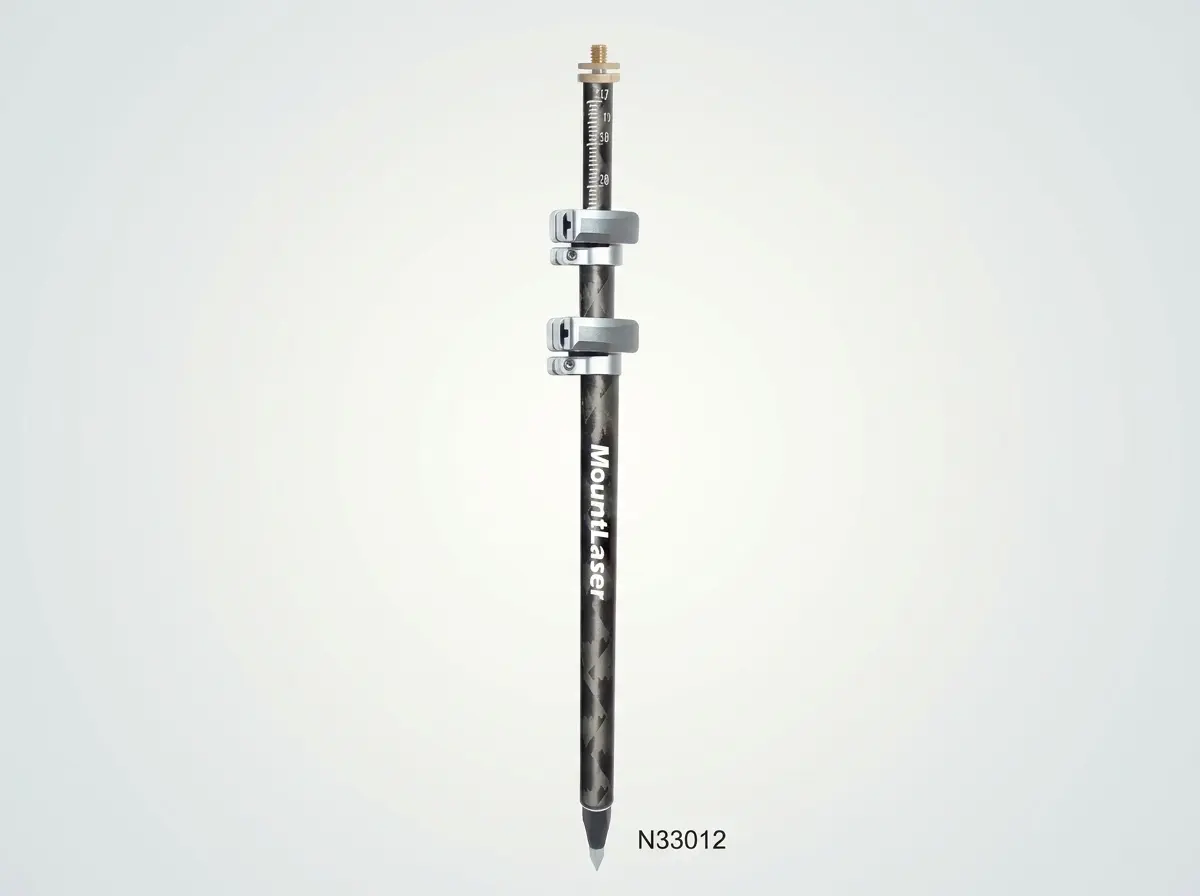
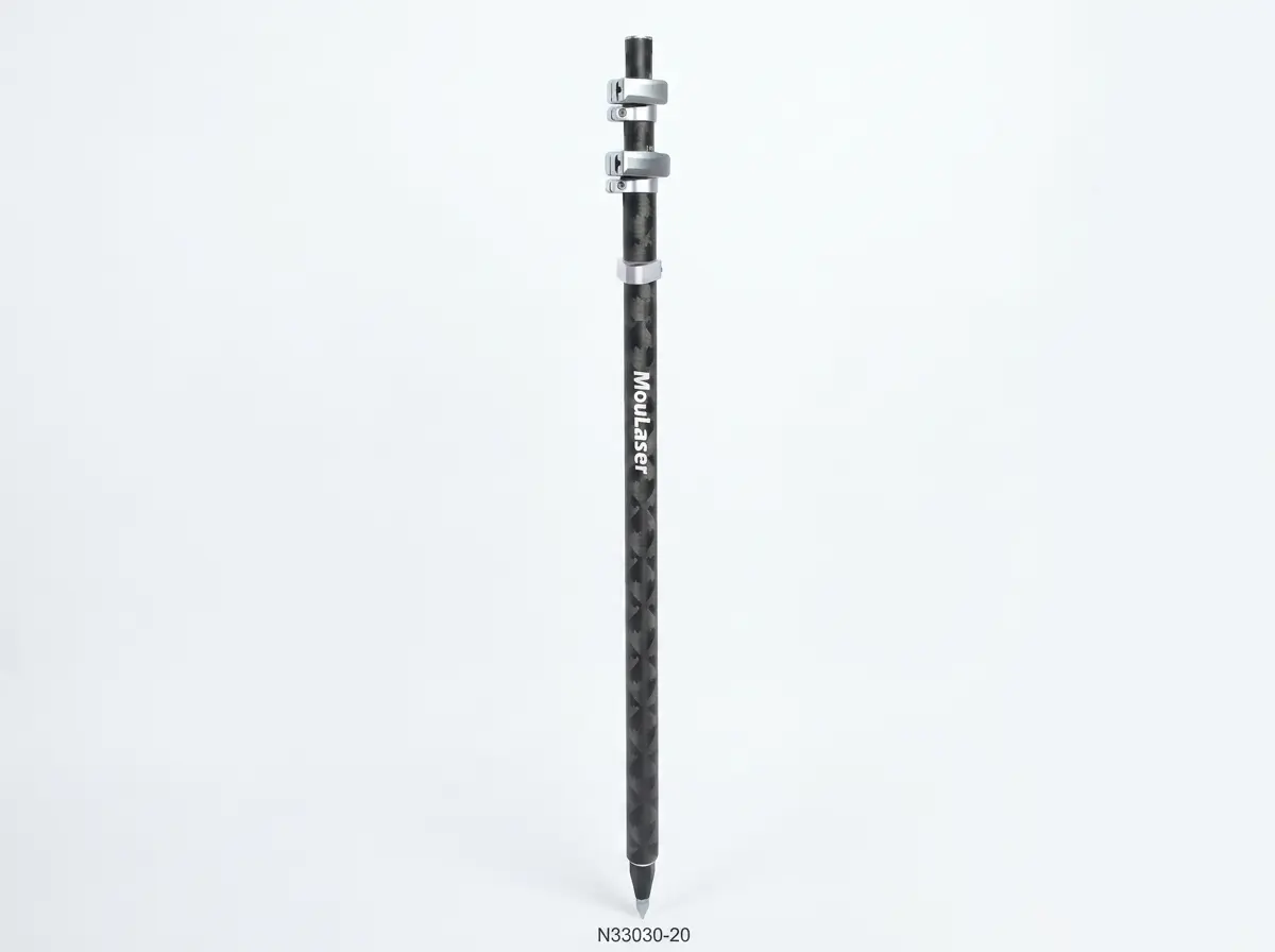
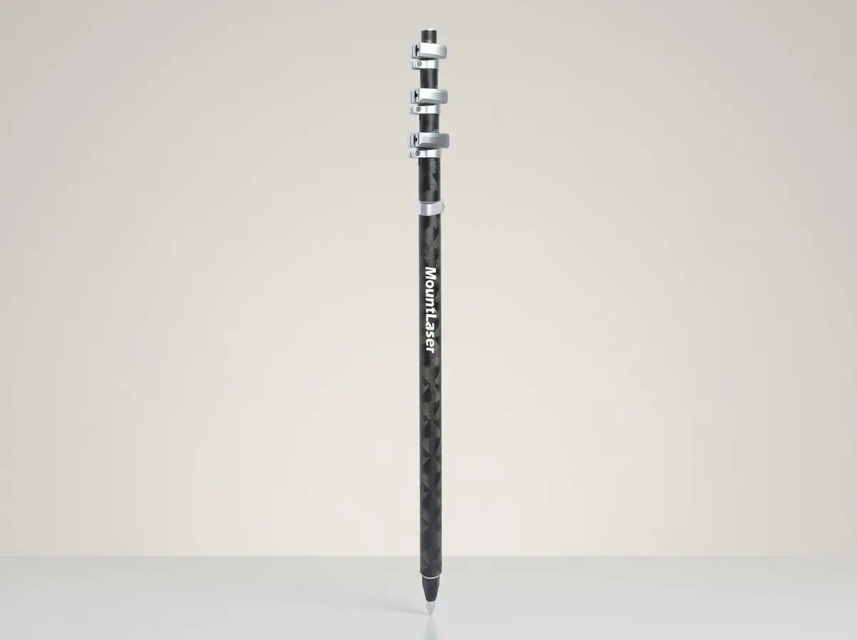
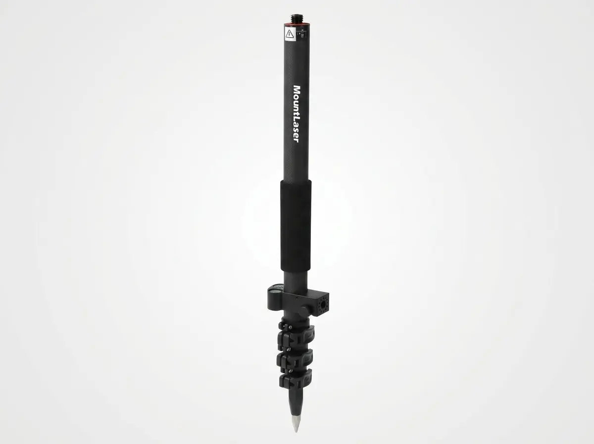
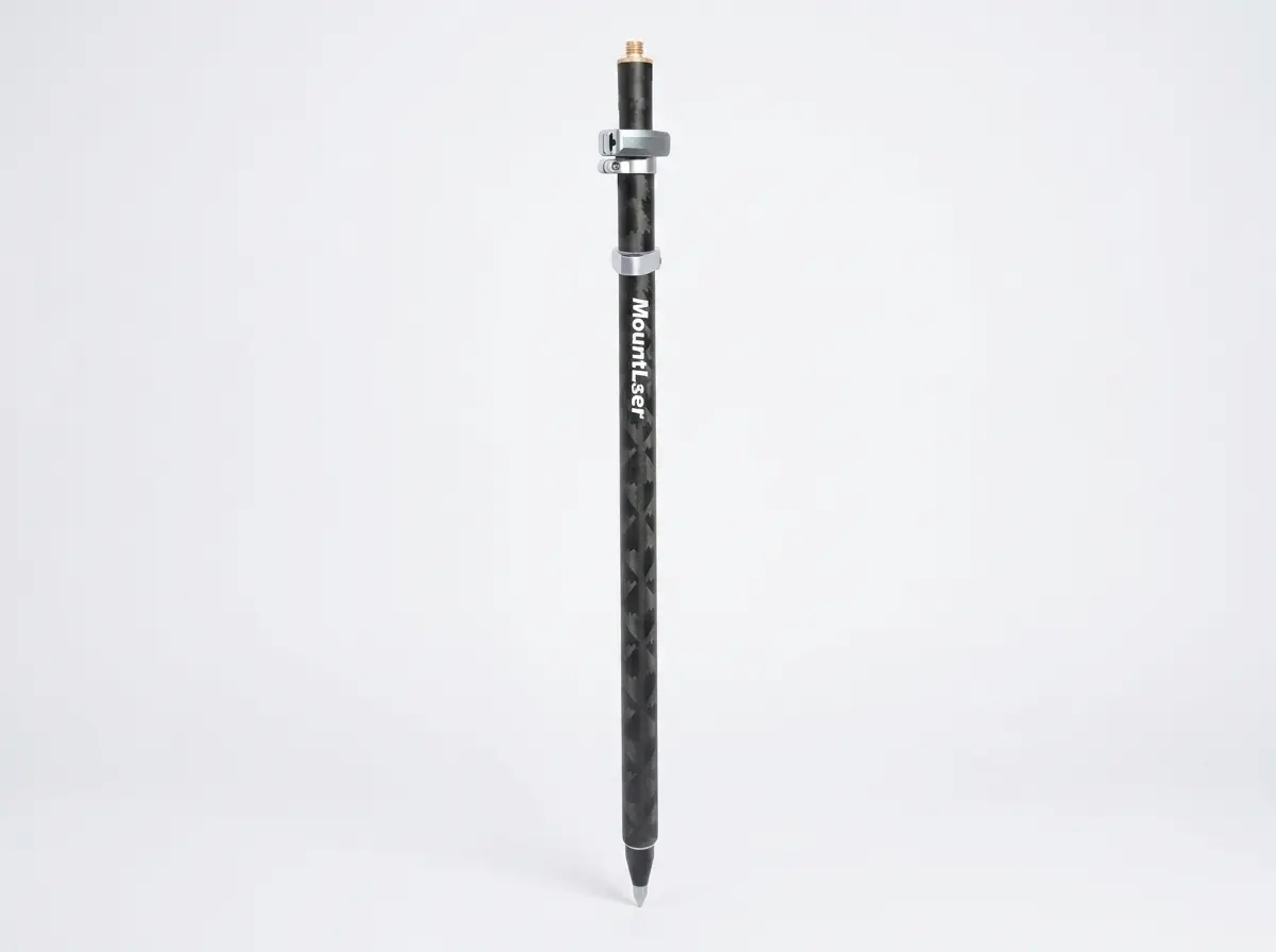
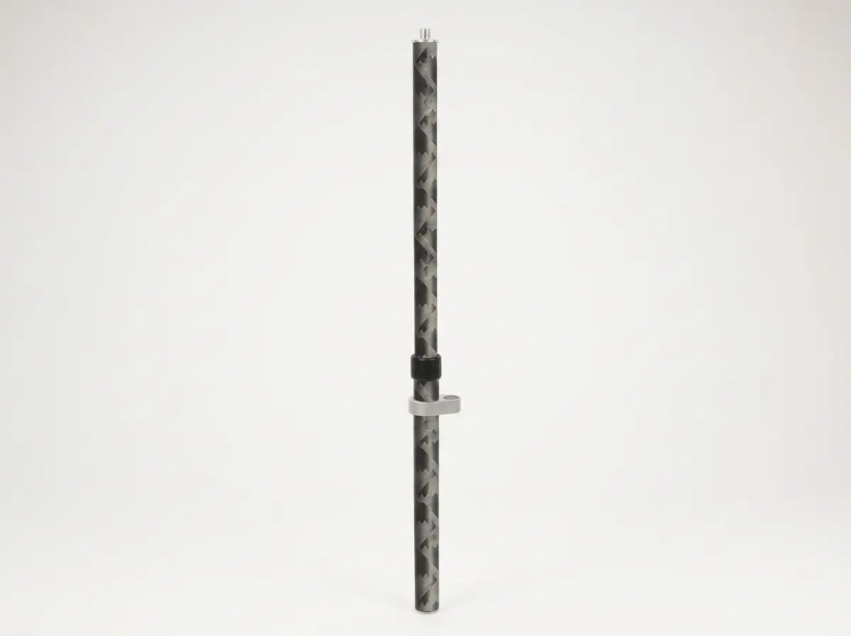
Carbon Fiber Prism Pole
3 Models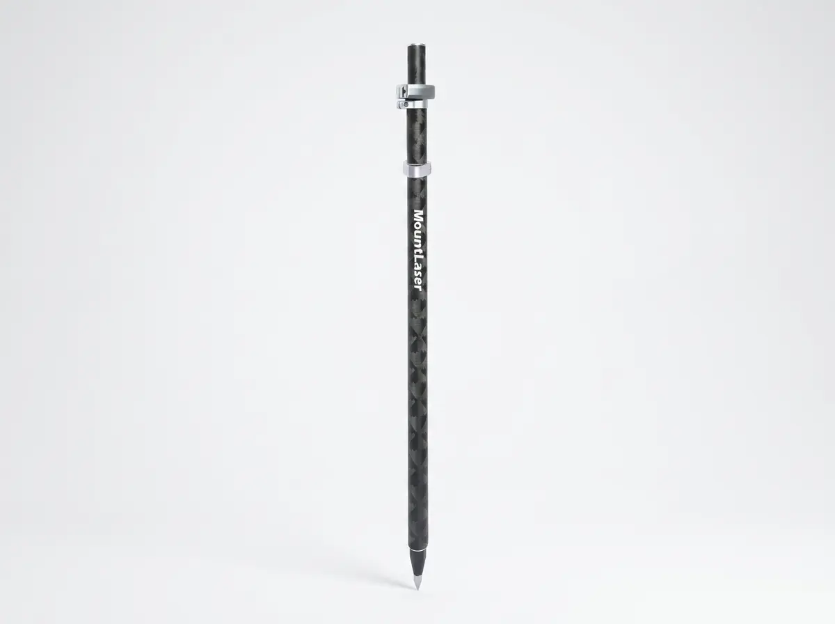
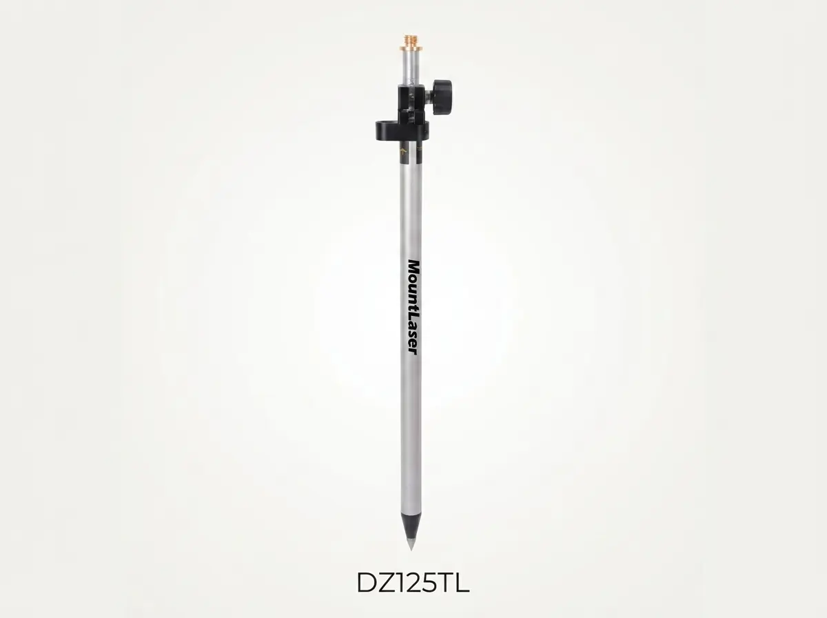
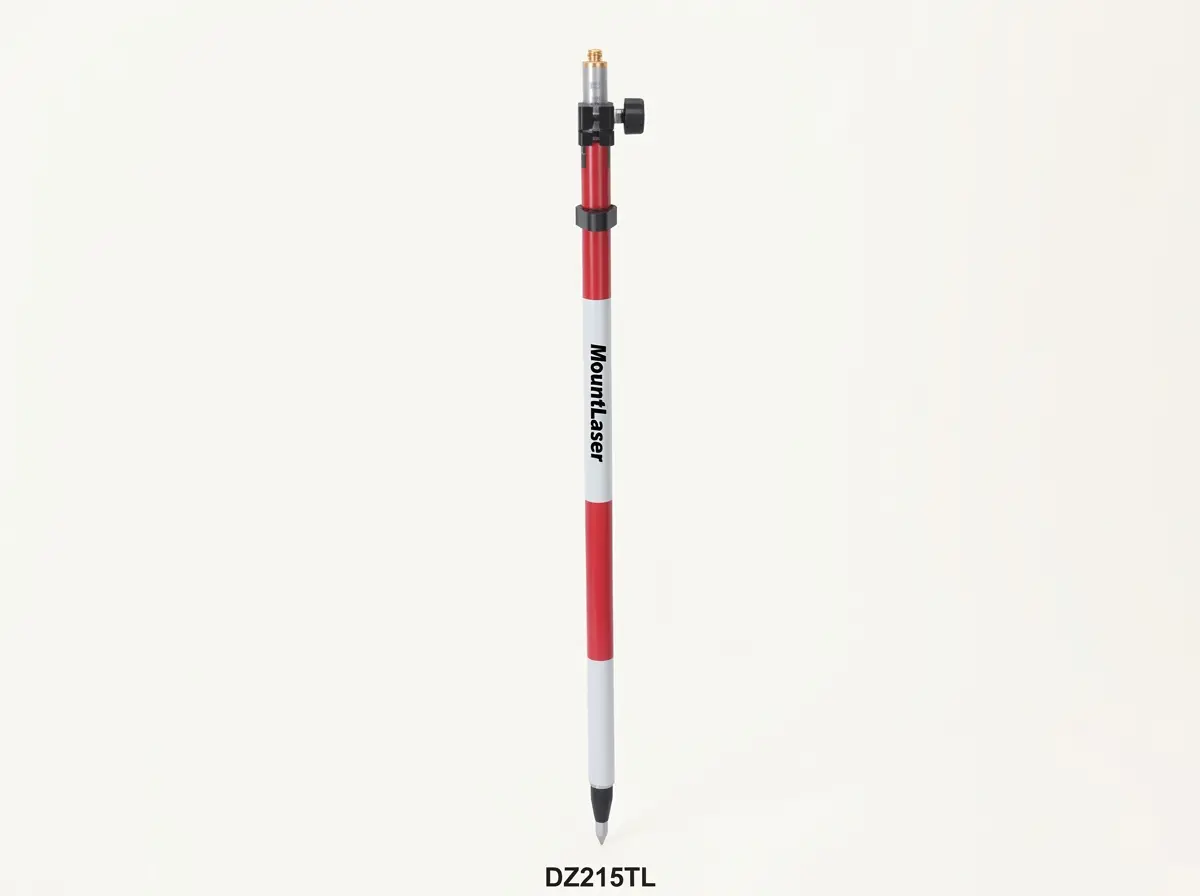
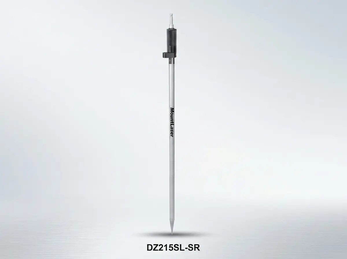
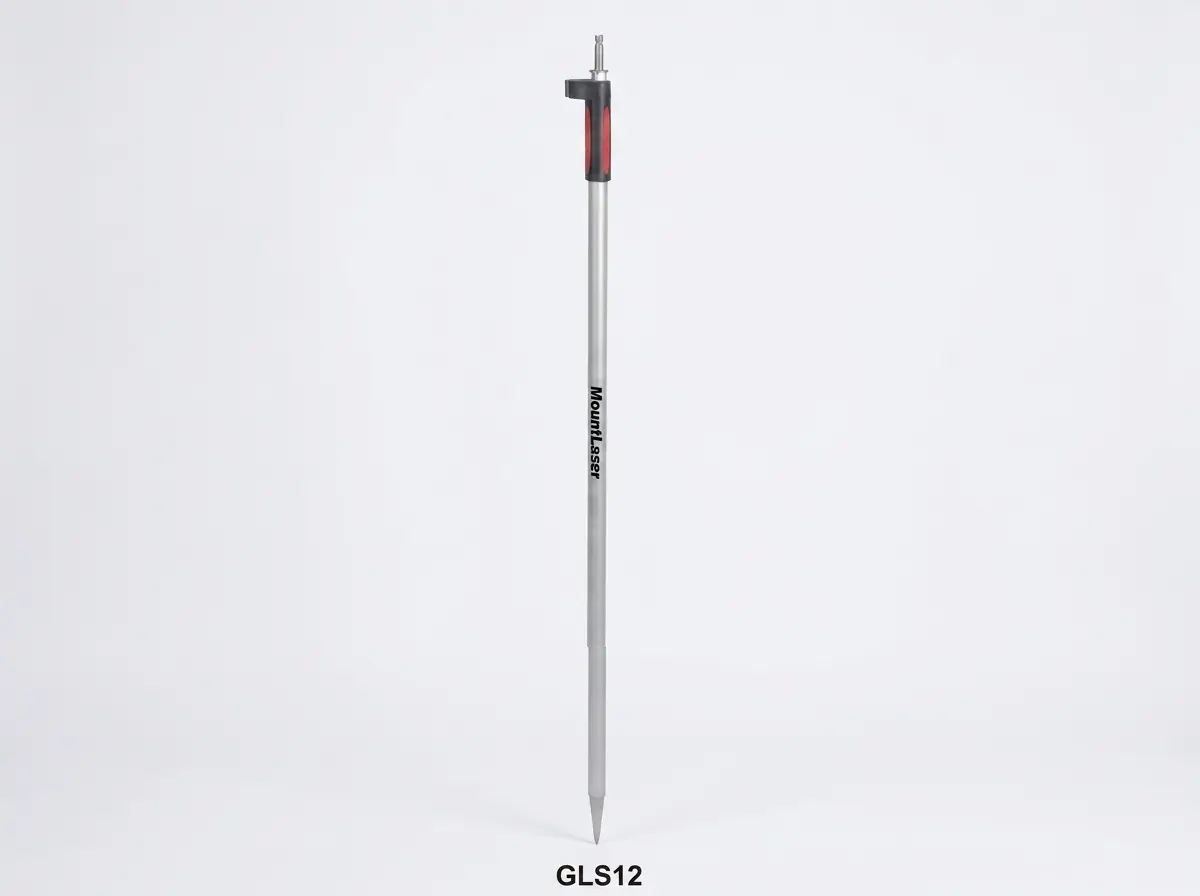
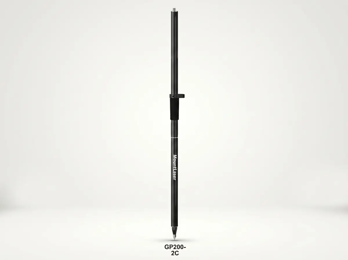
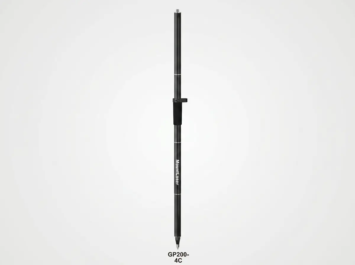
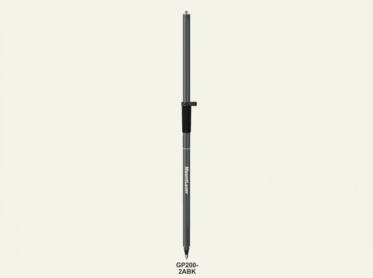
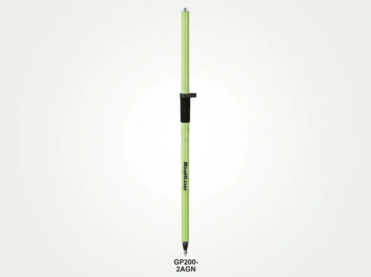
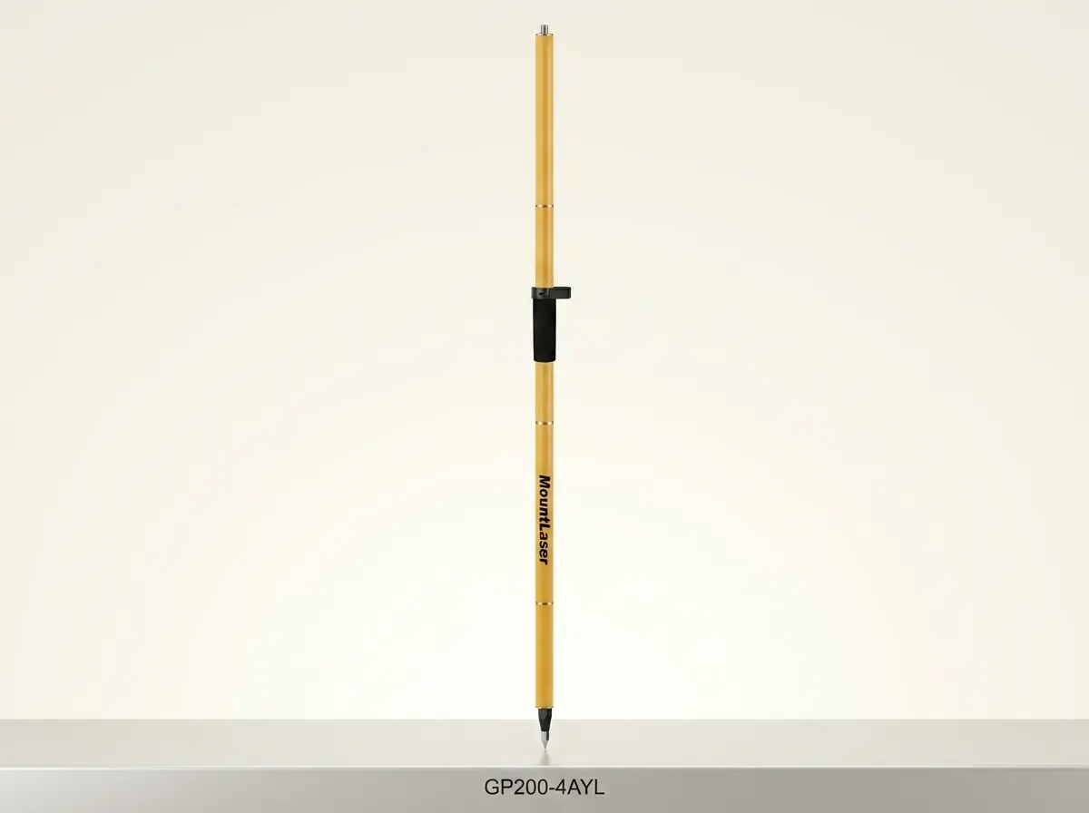
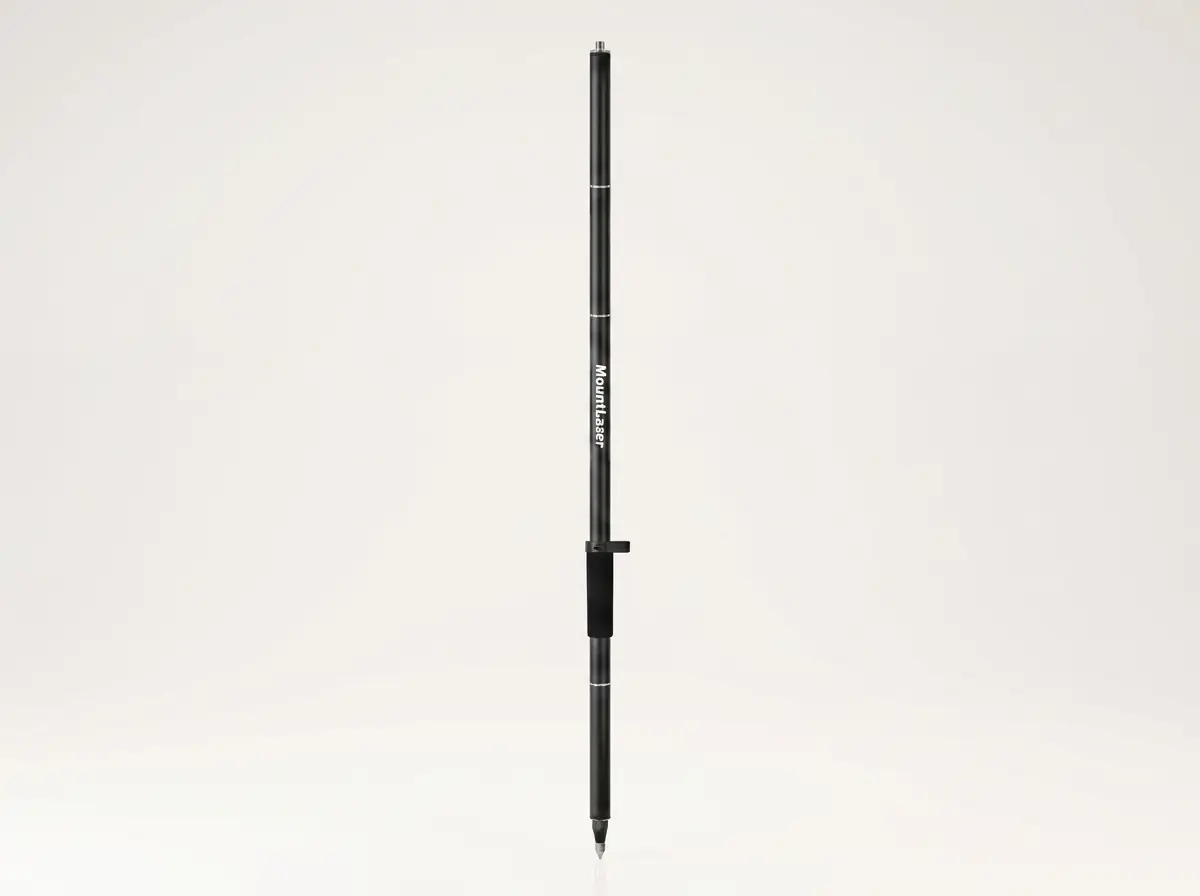
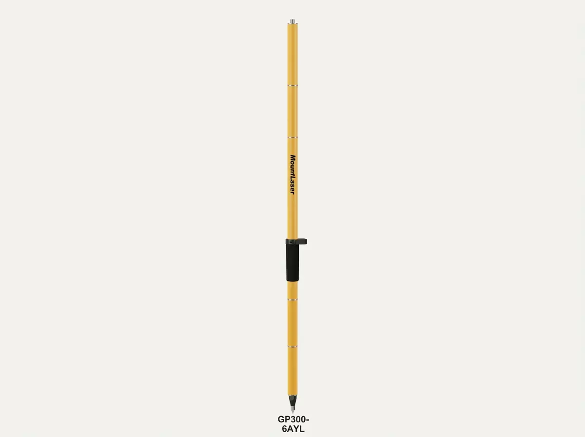
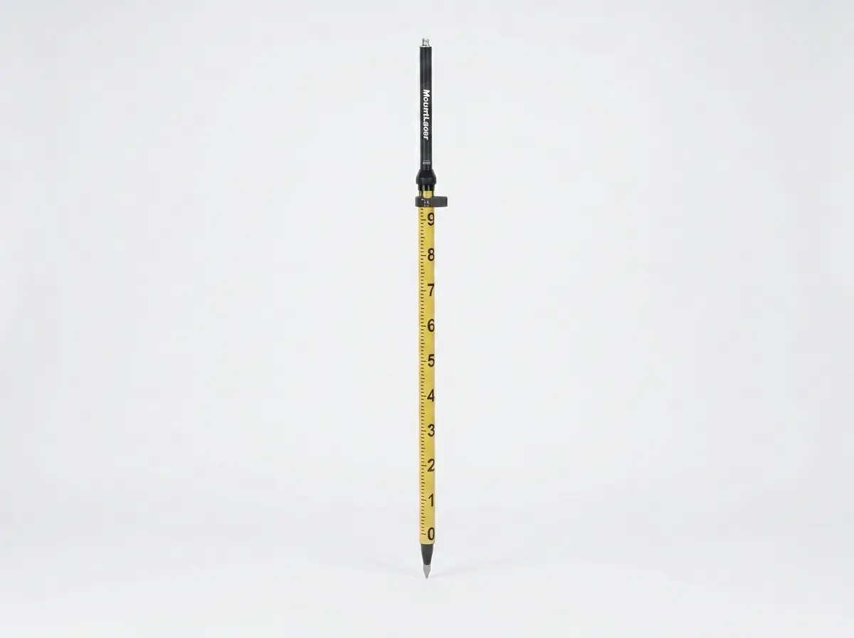
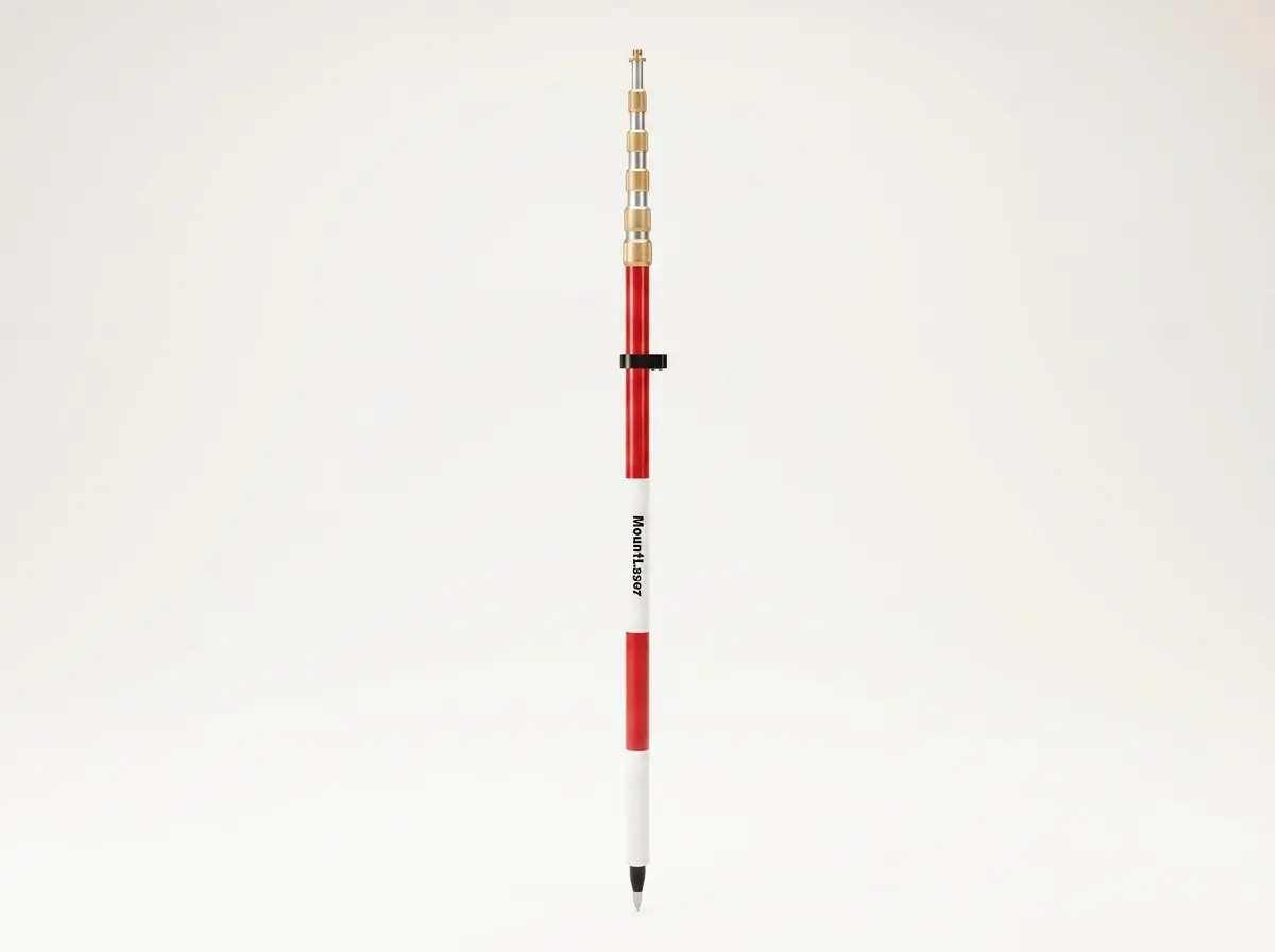
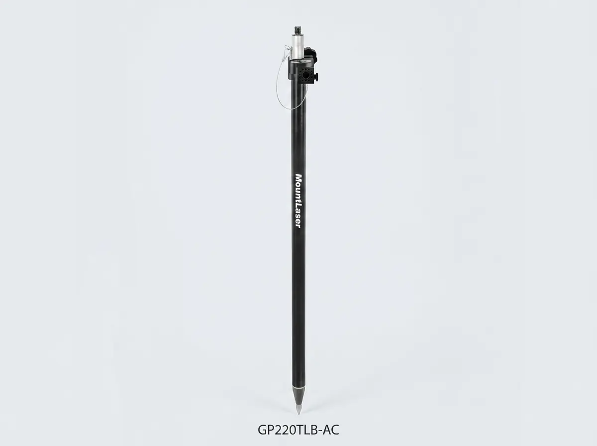
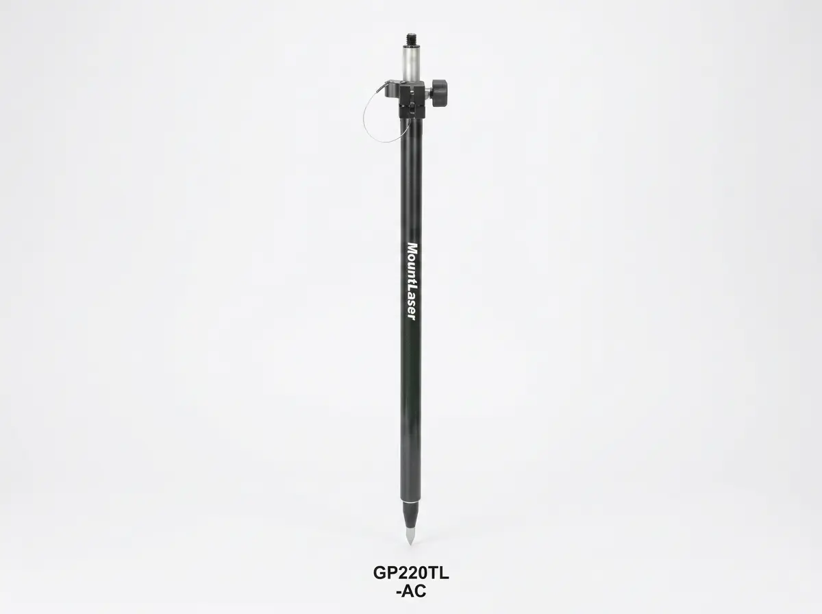
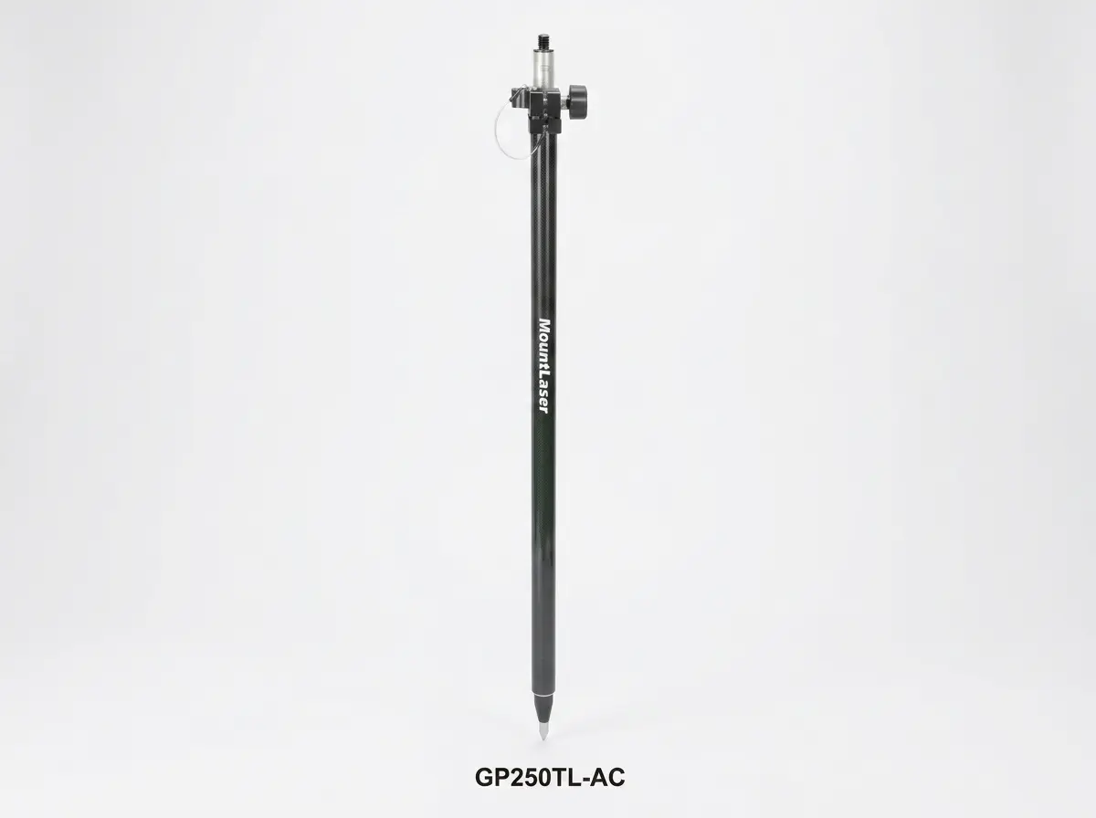
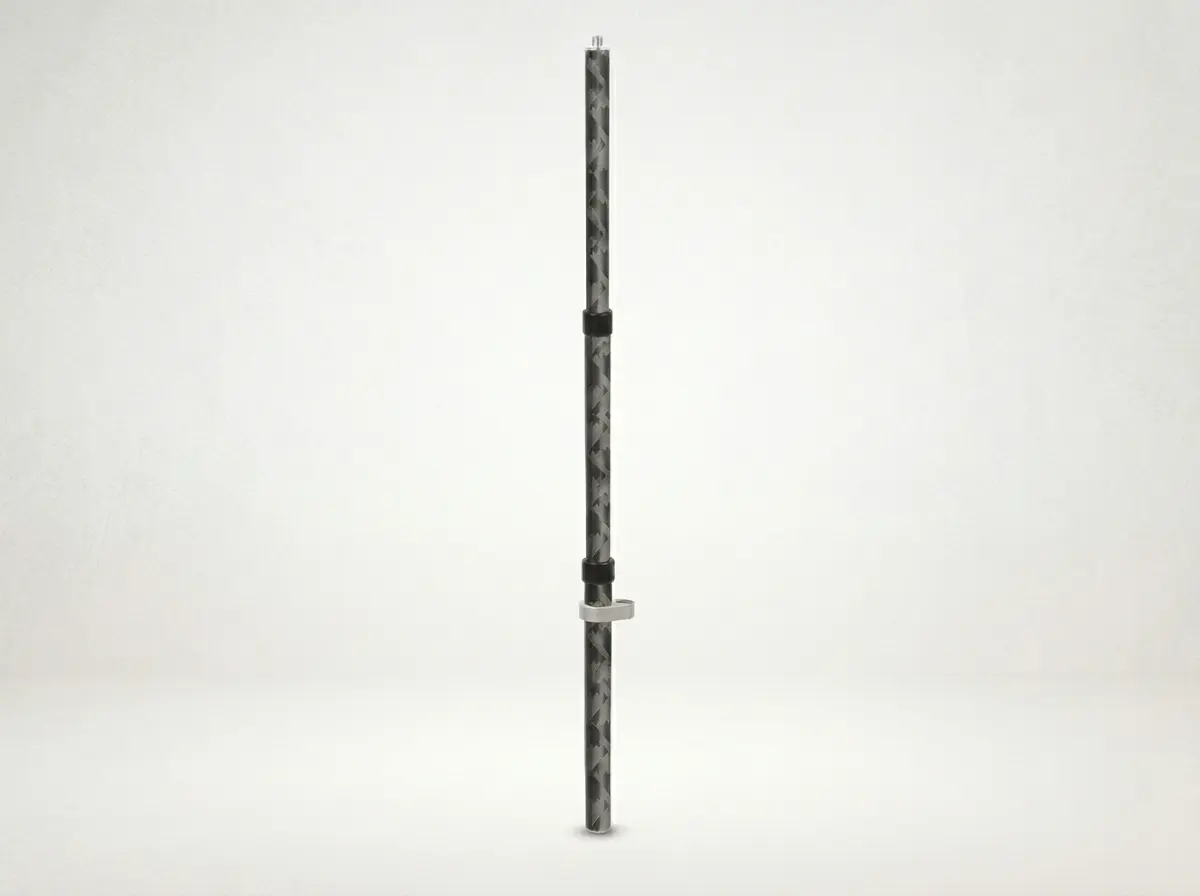
Threaded Lock GPS Pole
8 Models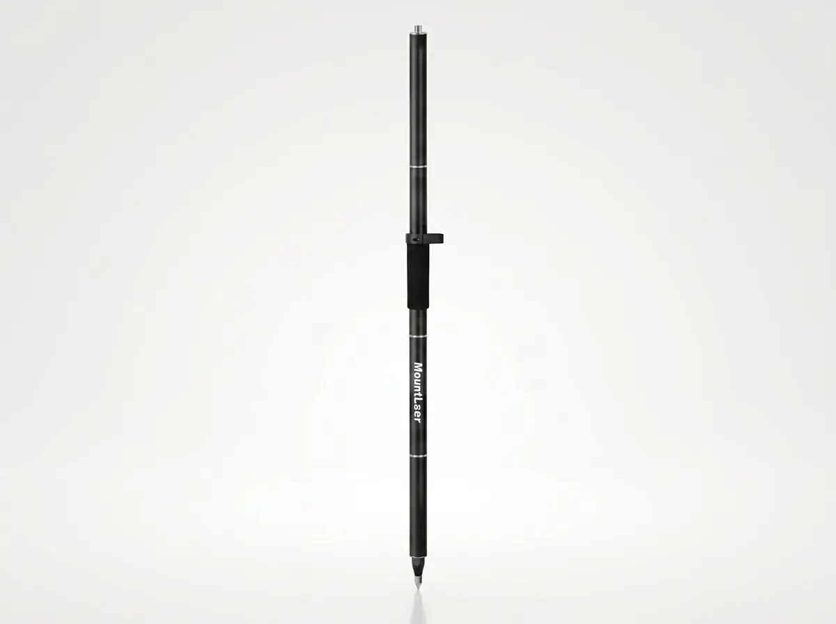
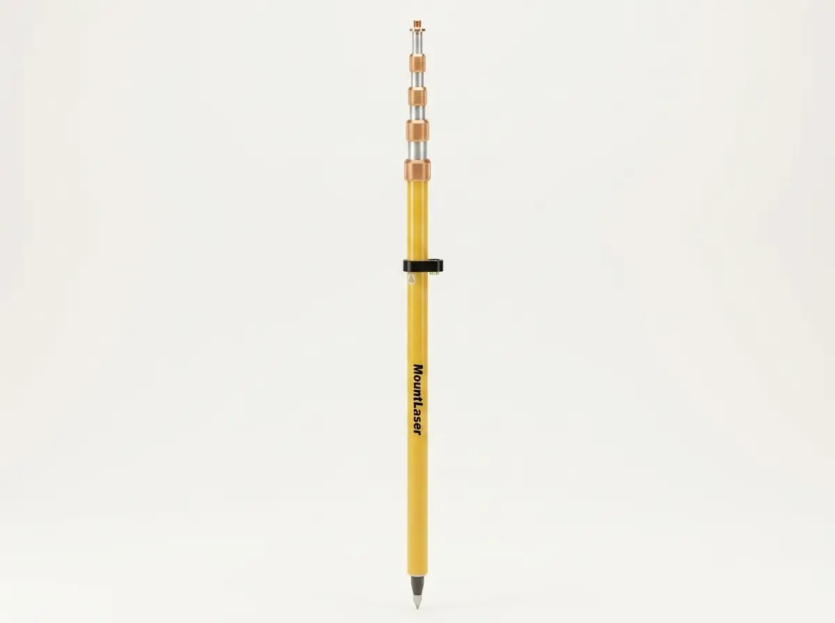
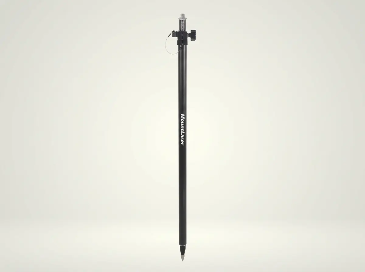
Compression & Snap Lock GPS Pole
11 Models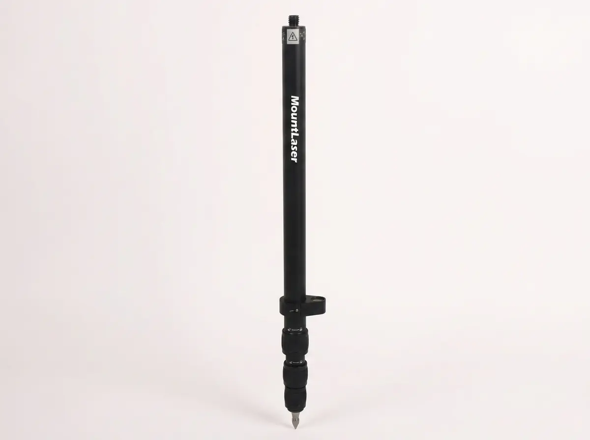
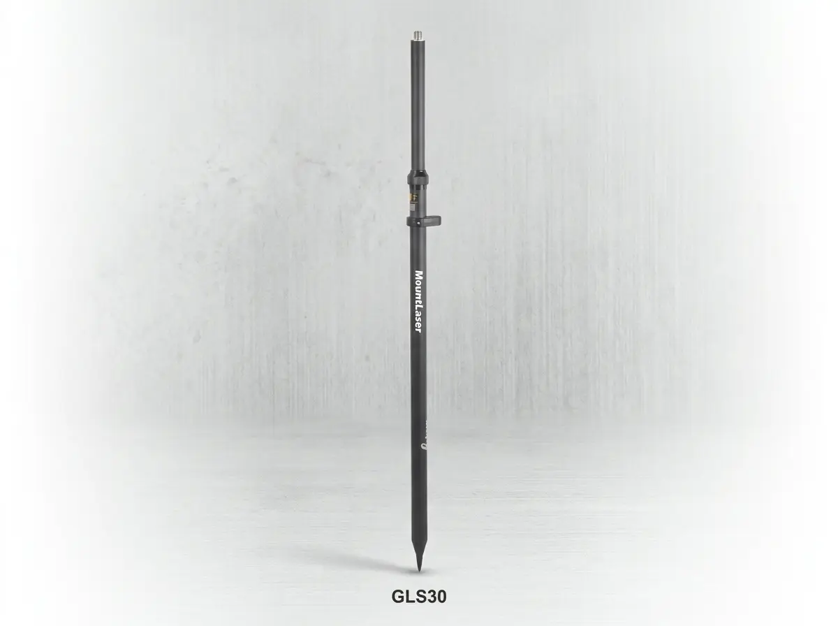
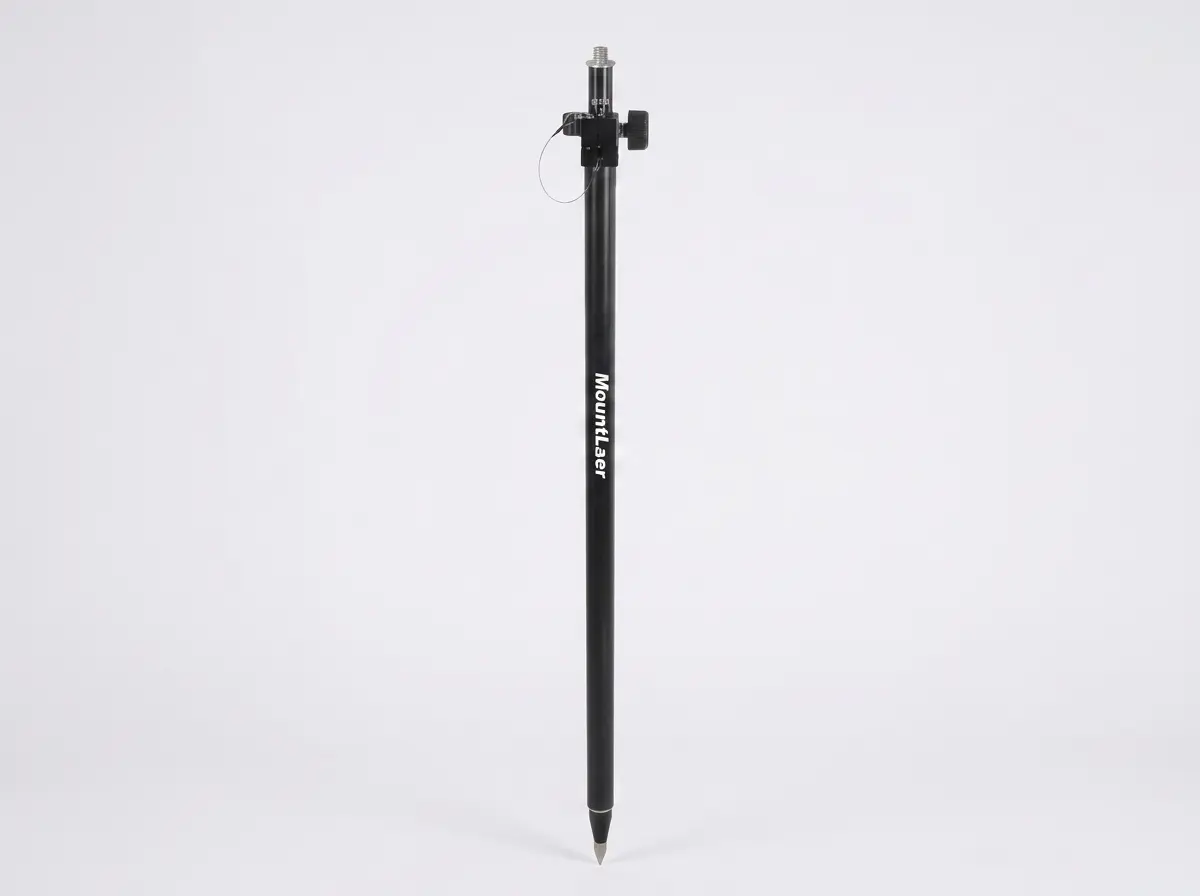
Twist Lock GPS Pole
8 Models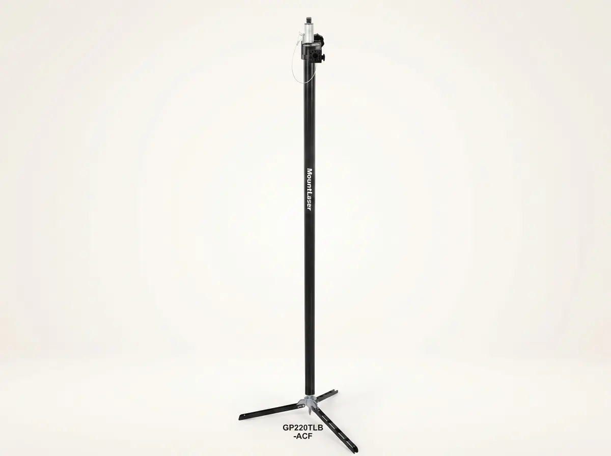
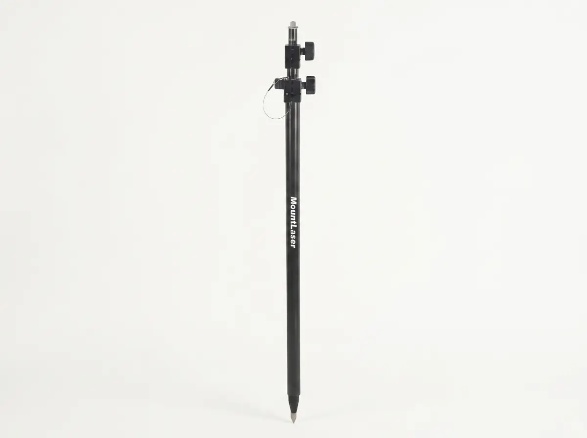
GNSS Rover Rod
7 Models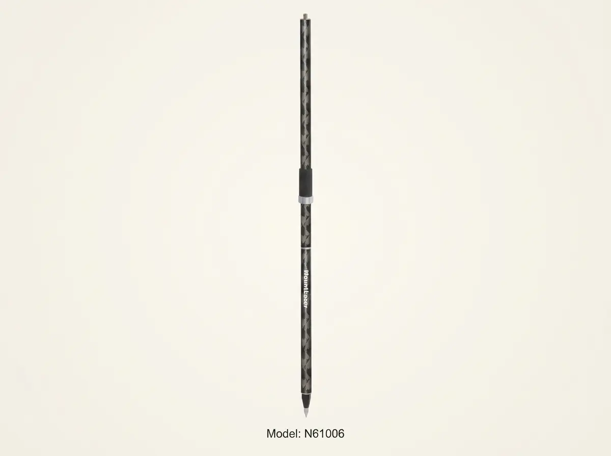

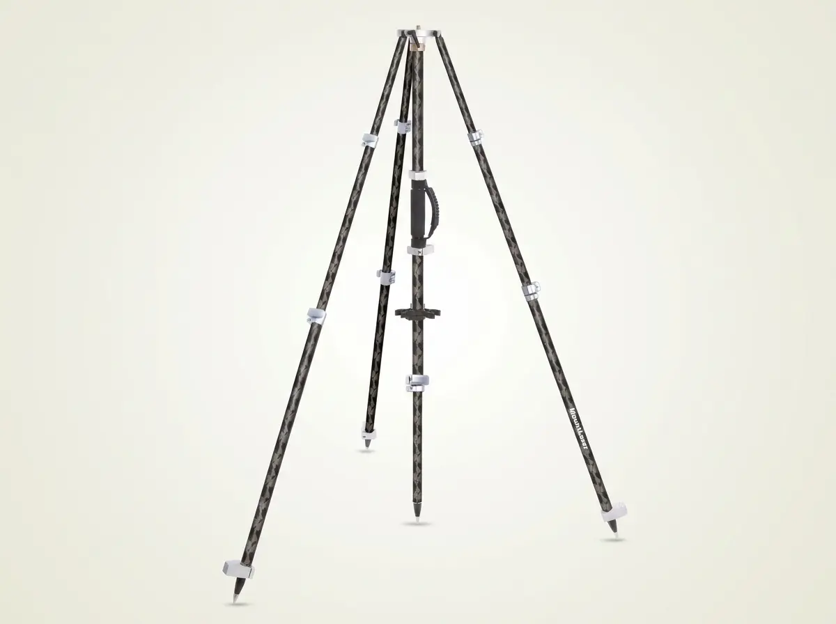
GNSS Tripod
2 Models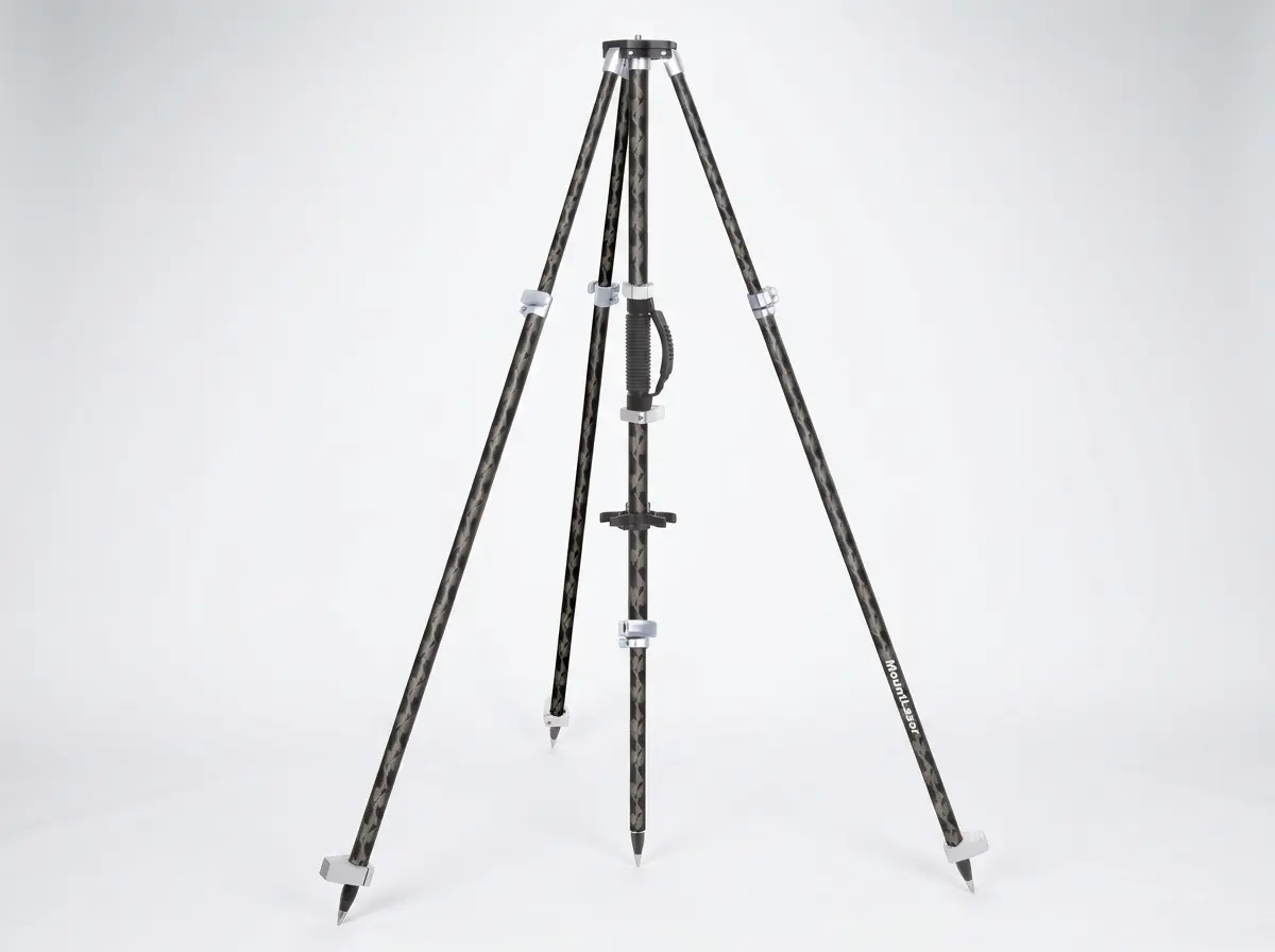
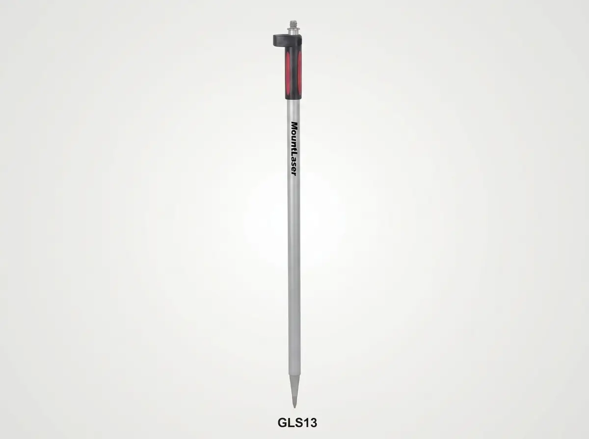
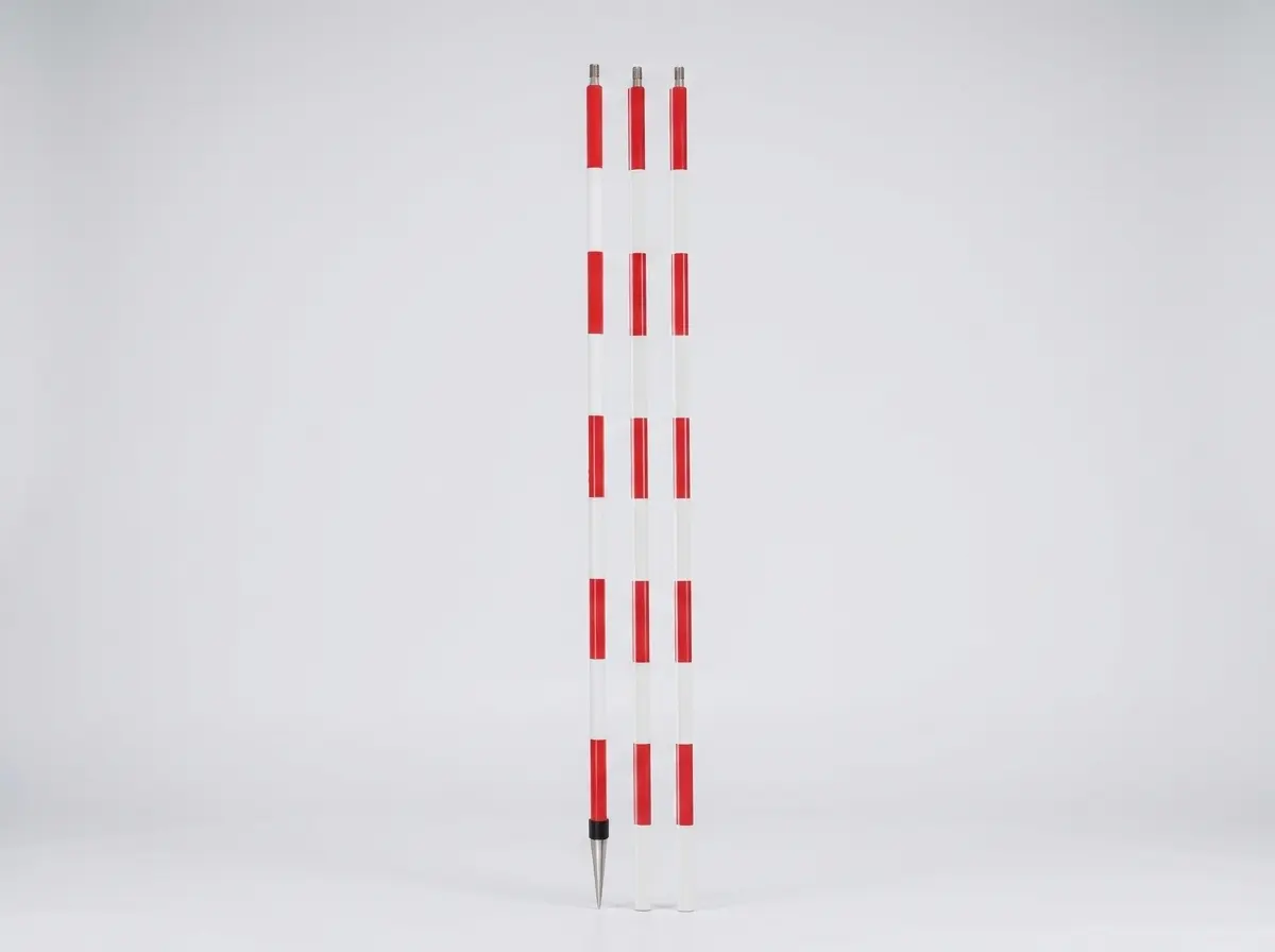
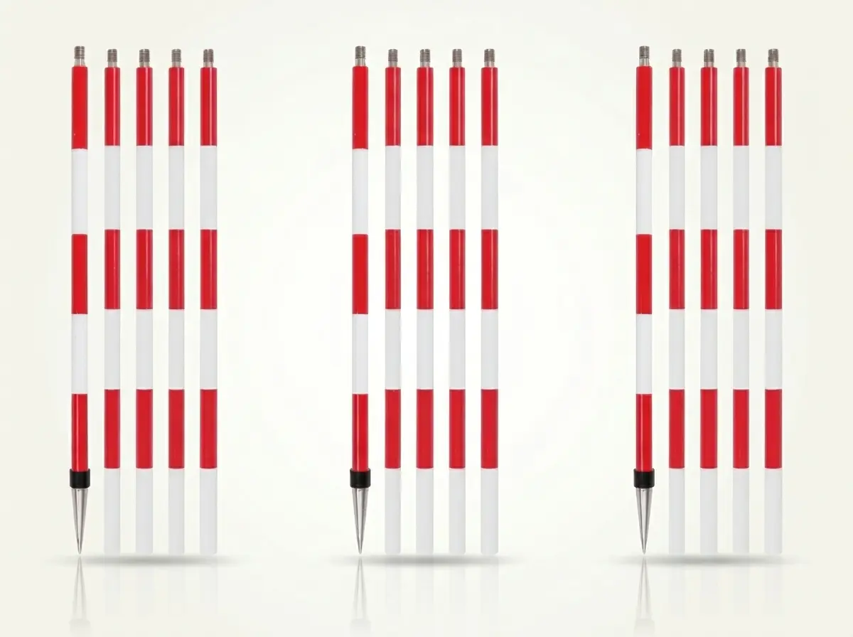
Range & Pin Pole
14 Models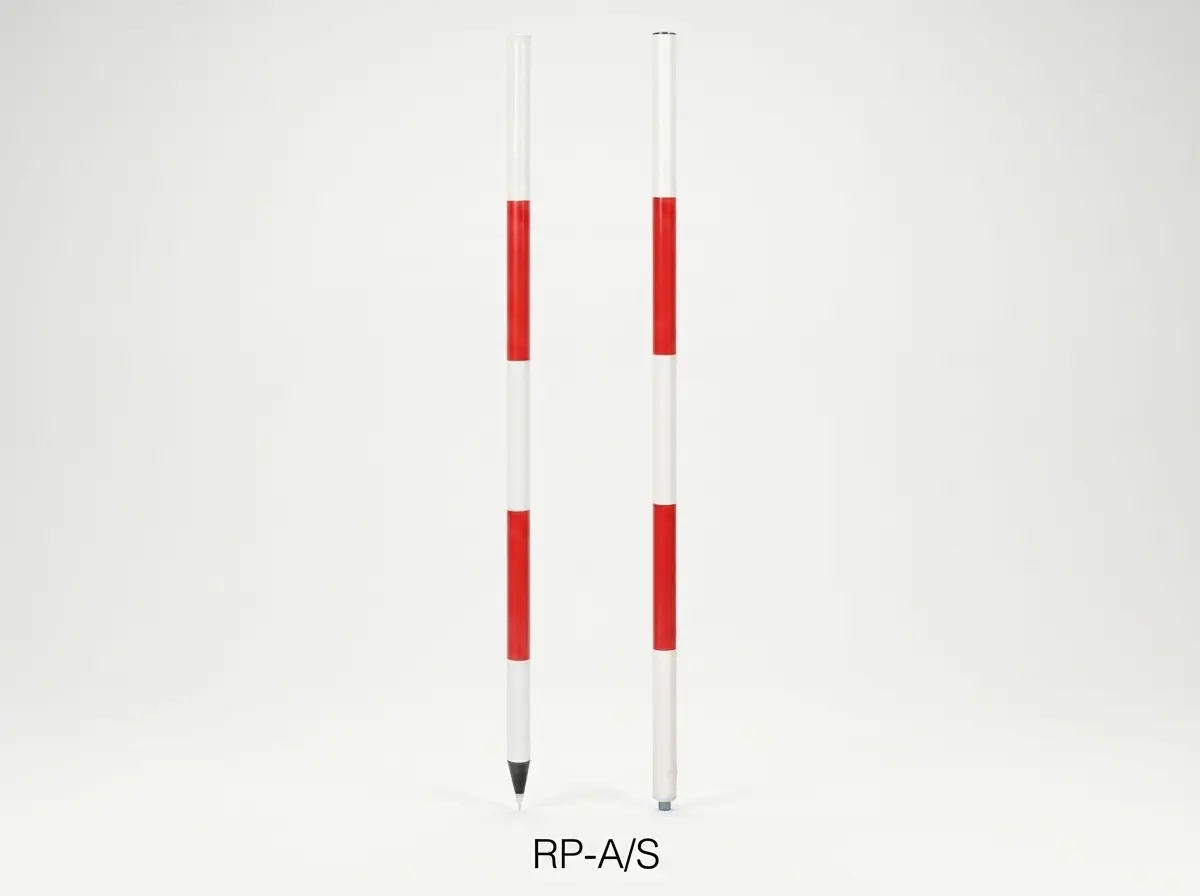
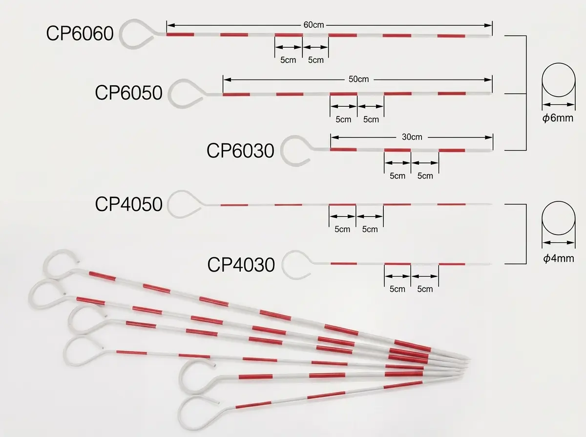
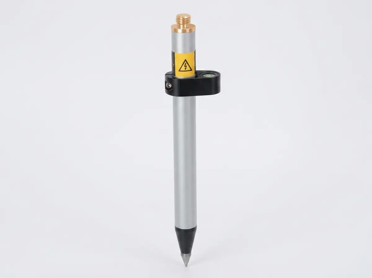
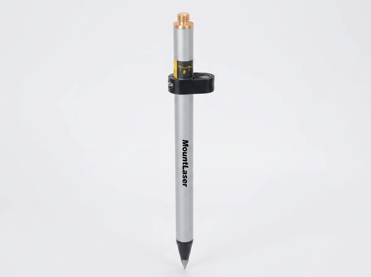
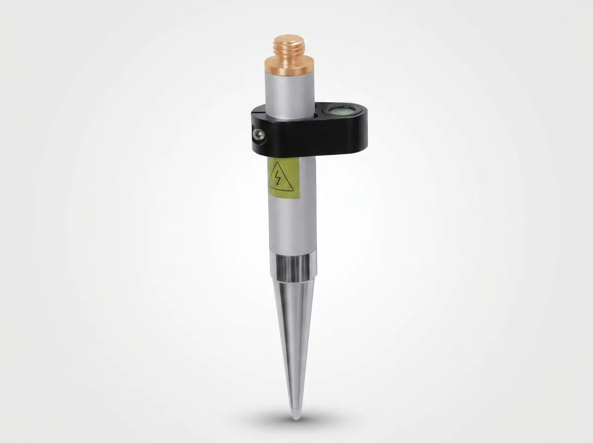
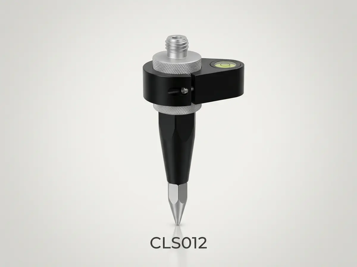
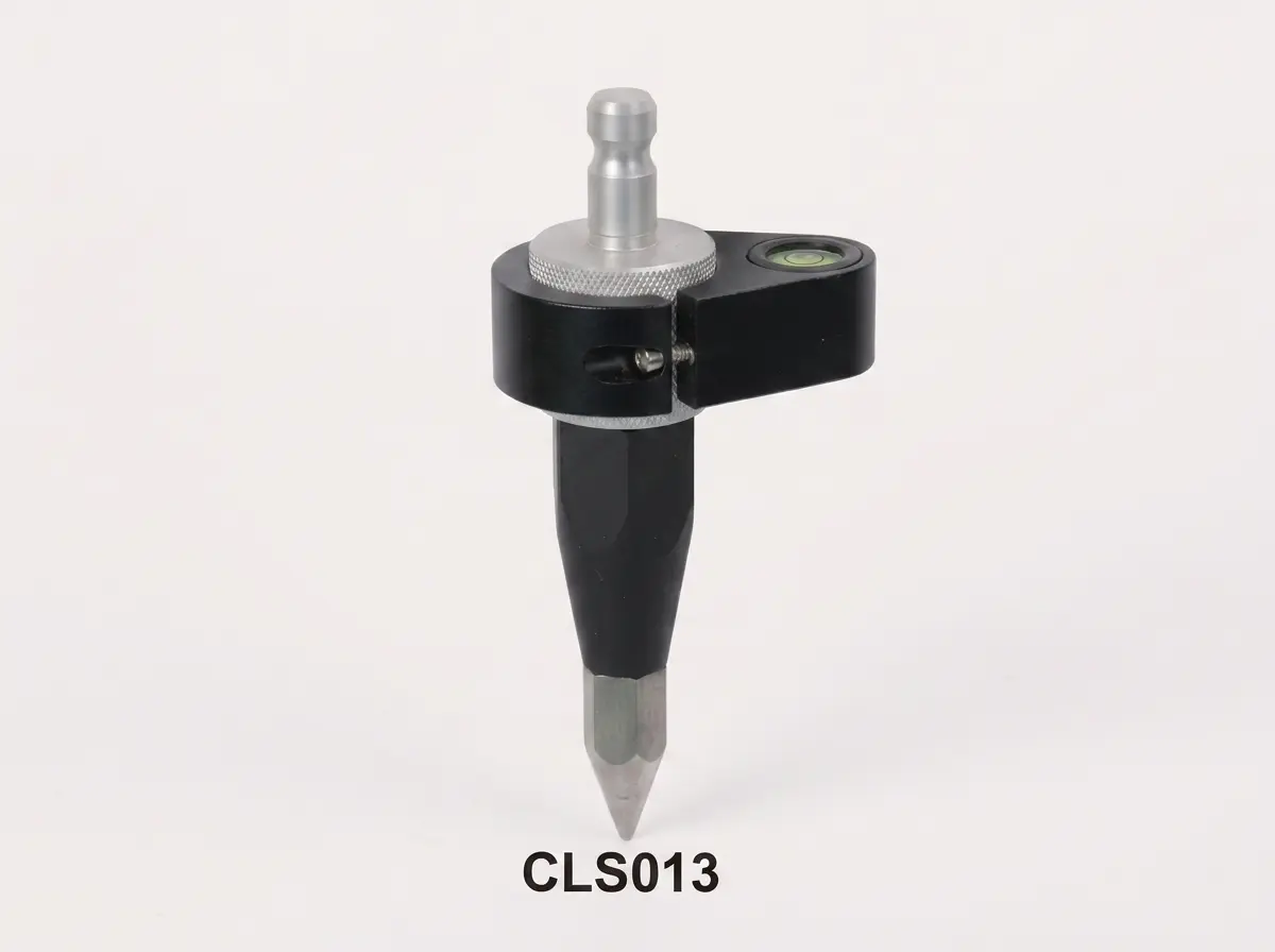
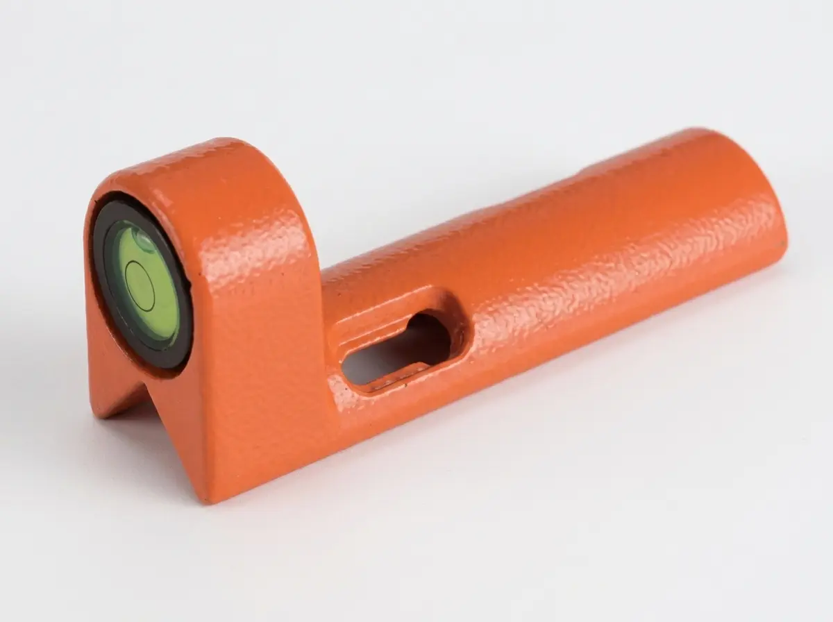
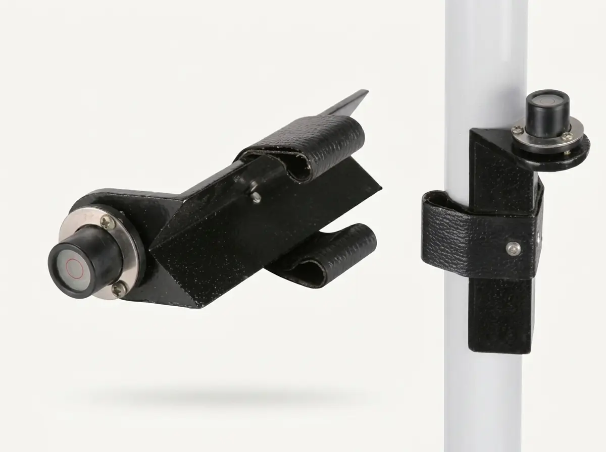
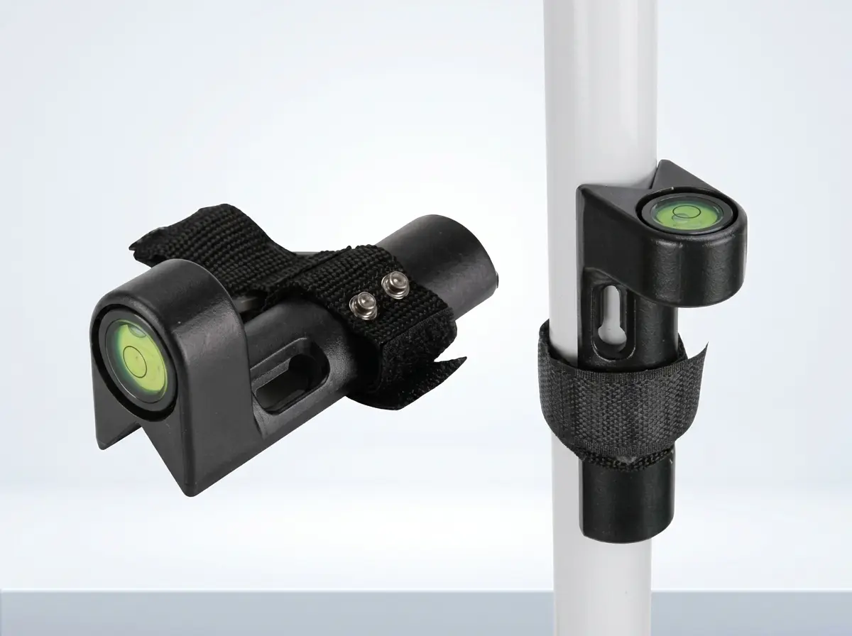
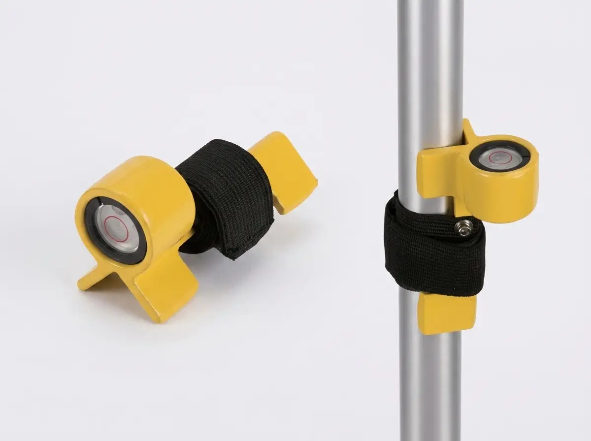
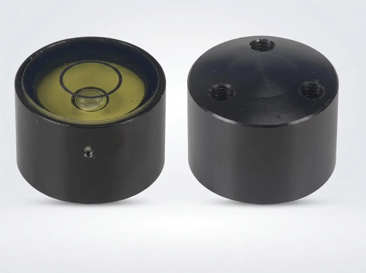
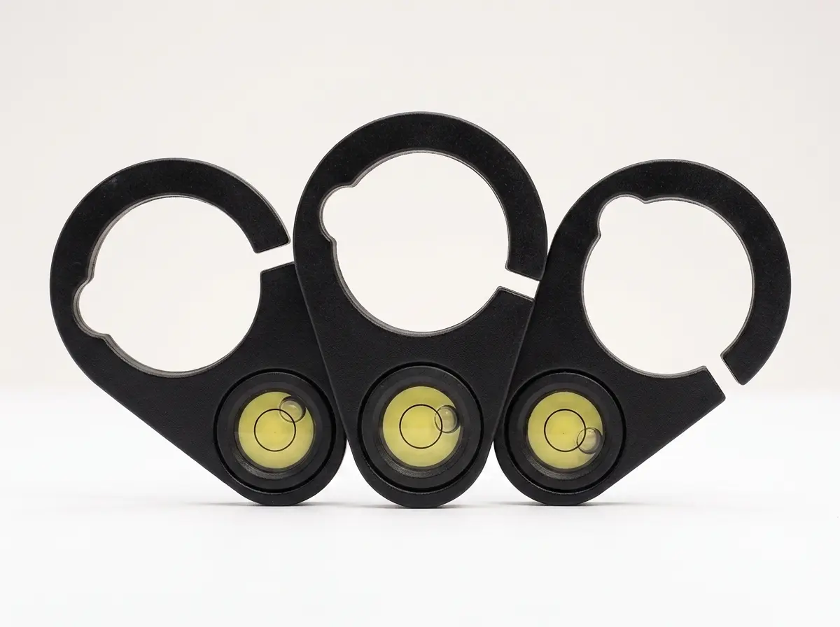
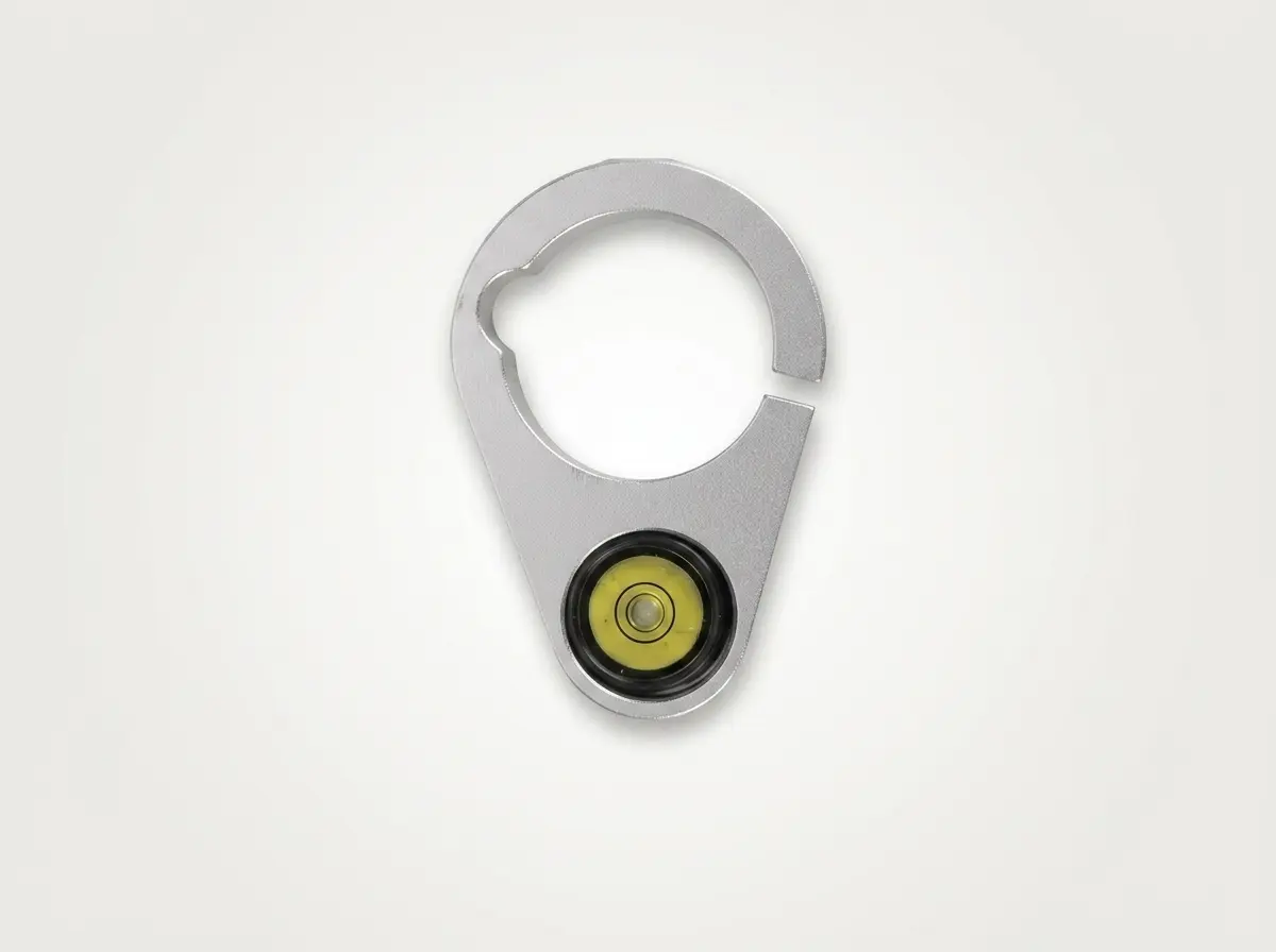
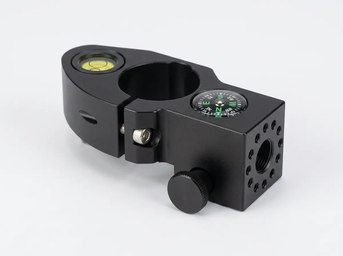
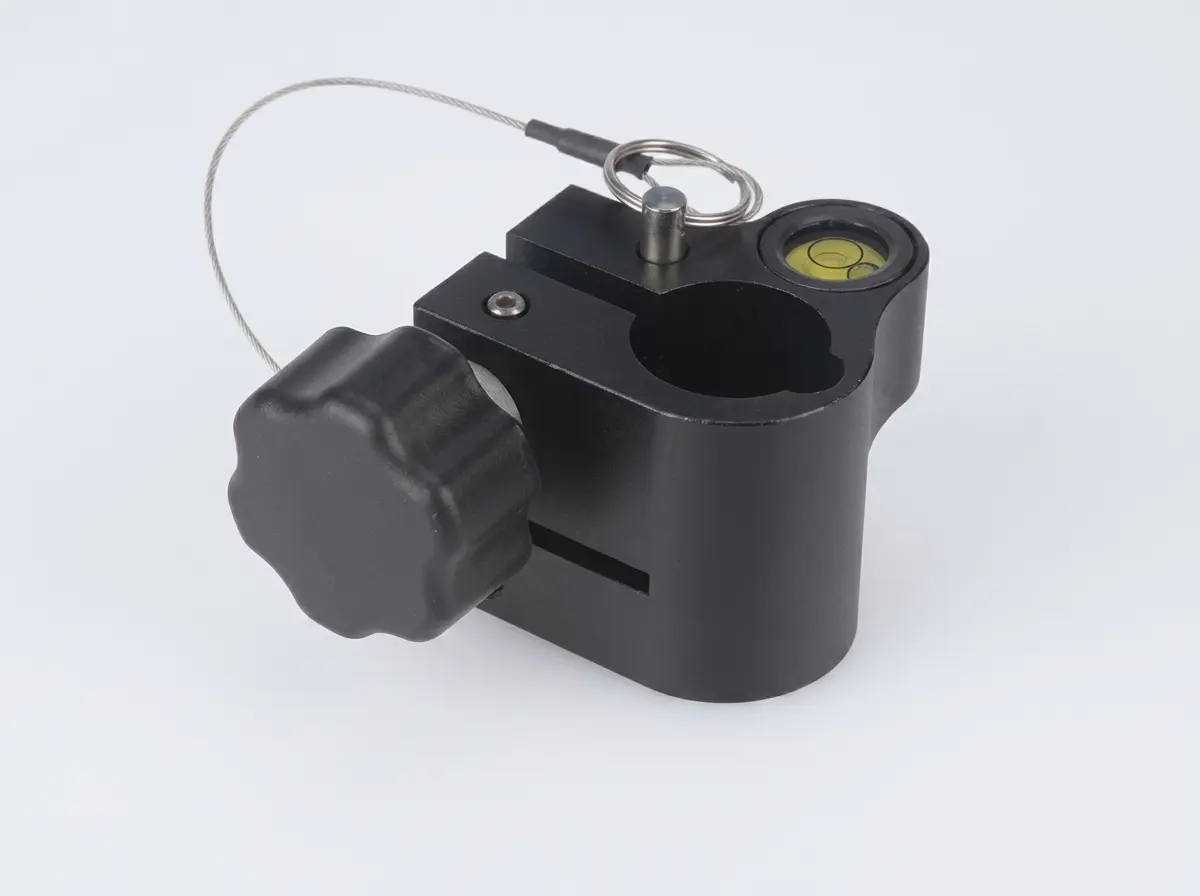
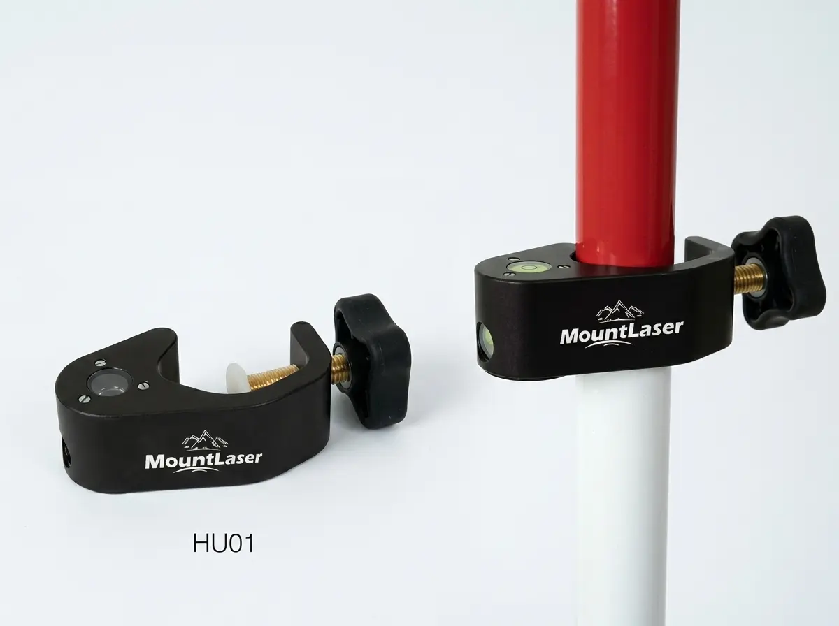
Pole Accessory & Level Vial
16 Models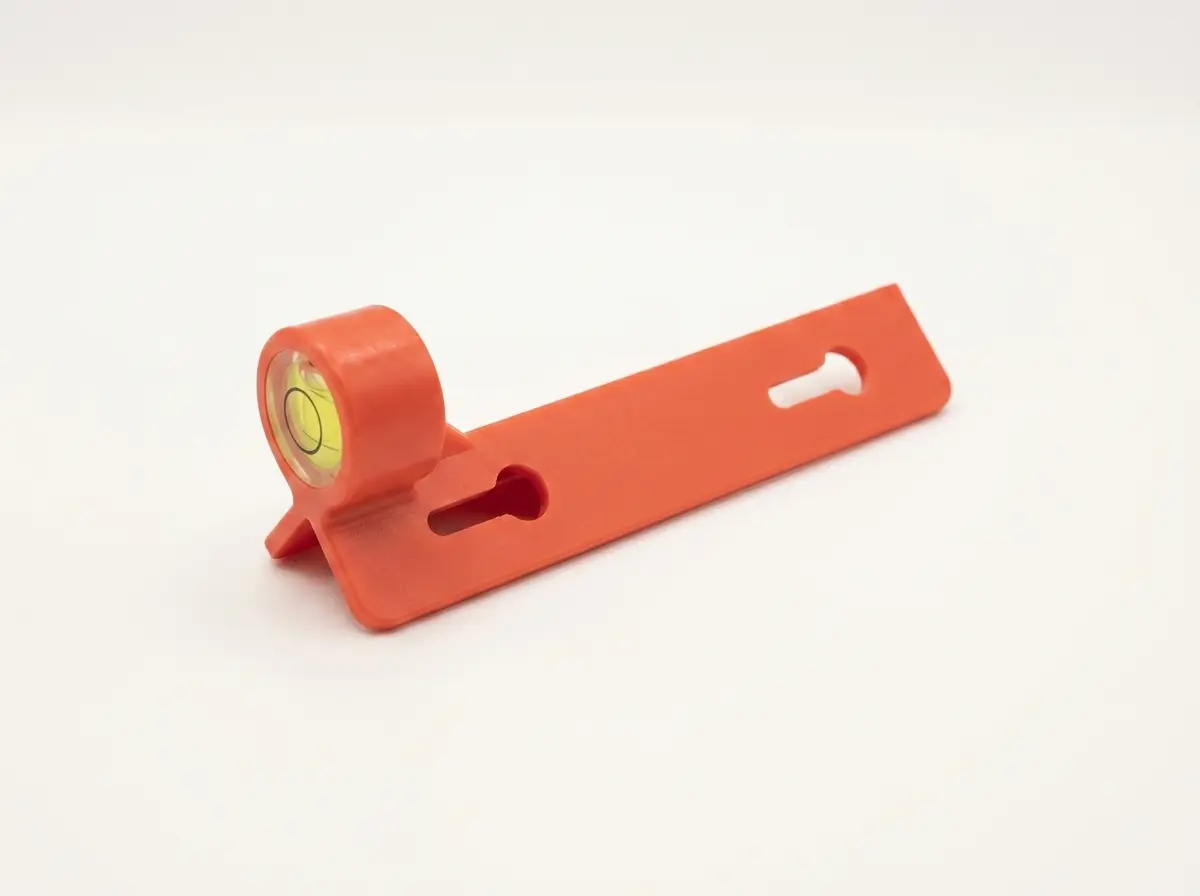
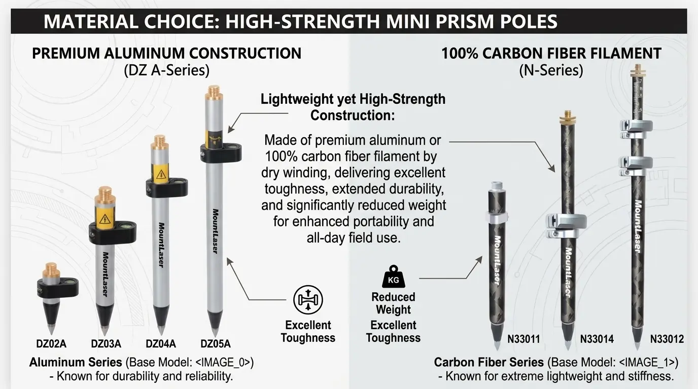
Lightweight yet High-Strength Construction
Made of premium aluminum or 100% carbon fiber filament by dry winding, delivering excellent toughness, extended durability, and significantly reduced weight for enhanced portability and all-day field use.
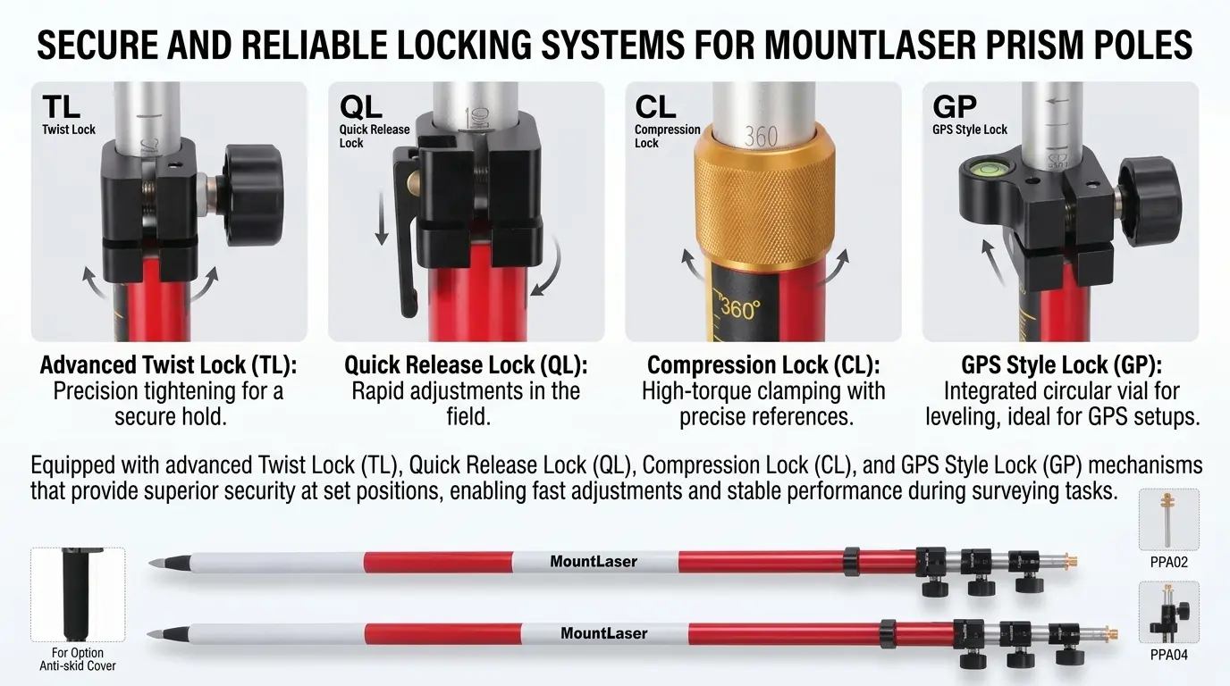
Secure and Reliable Locking Systems
Equipped with advanced Twist Lock (TL), Quick Release Lock (QL), Compression Lock (CL), and GPS Style Lock (GP) mechanisms that provide superior security at set positions, enabling fast adjustments and stable performance during surveying tasks.
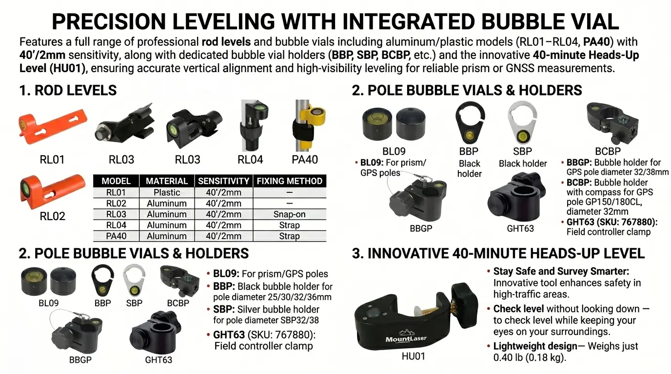
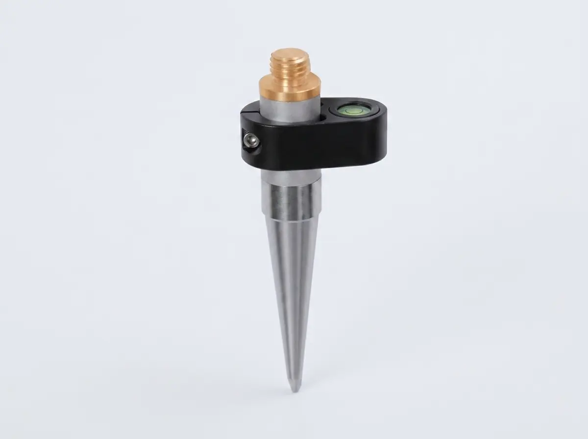
Precision Leveling with Integrated Bubble Vial
Features a full range of professional rod levels and bubble vials including aluminum/plastic models (RL01–RL04, PA40) with 40′/2mm sensitivity, along with dedicated bubble vial holders (BBP, SBP, BCBP, etc.) and the innovative 40-minute Heads-Up Level (HU01), ensuring accurate vertical alignment and high-visibility leveling for reliable prism or GNSS measurements.
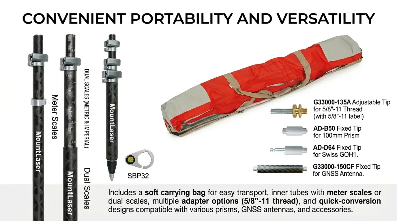
Convenient Portability and Versatility
Includes a soft carrying bag for easy transport, inner tubes with meter scales or dual scales, multiple adapter options (5/8″-11 thread), and quick-conversion designs compatible with various prisms, GNSS antennas, and accessories
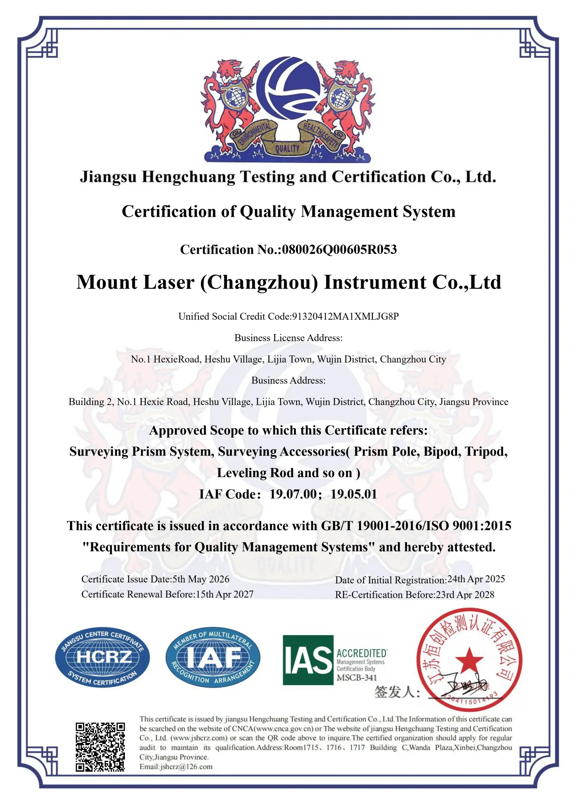
Corporate Honors & Certifications
Certified by internationally recognized quality systems and industry organizations, demonstrating our commitment to precision manufacturing, strict quality control, and long-term reliability in surveying instrument production.