KRL-340 Series
4 Models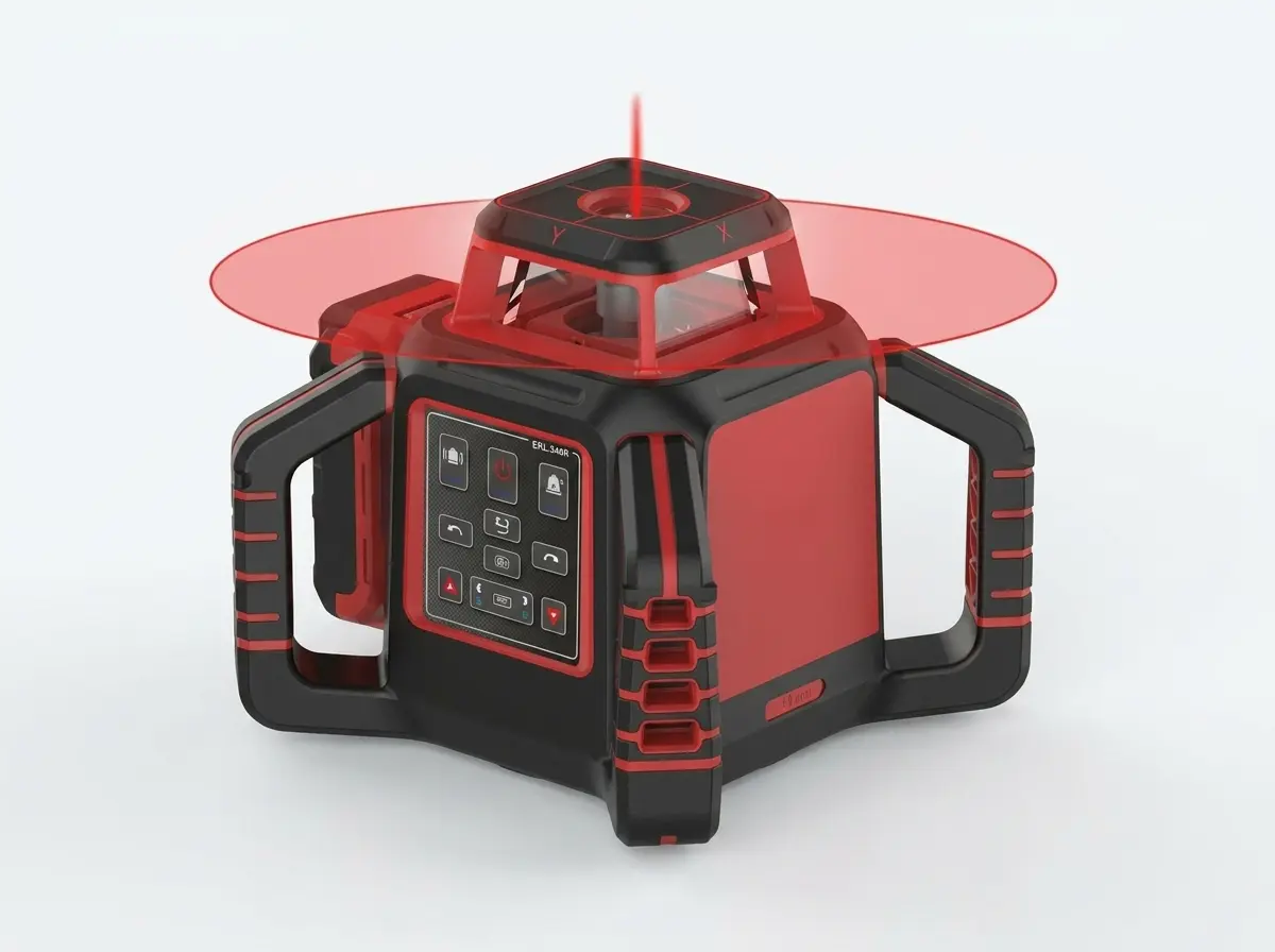
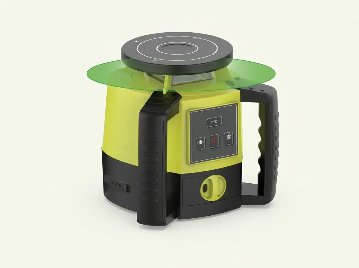
KRL-405 Series
2 Models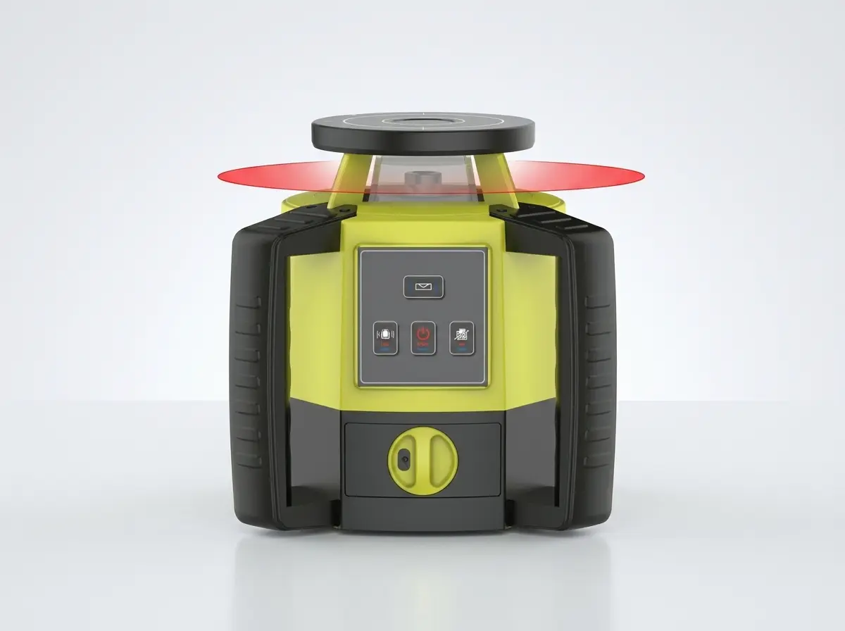
KRL-420 Series
2 Models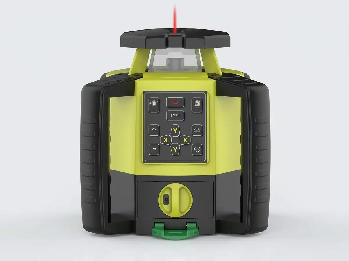
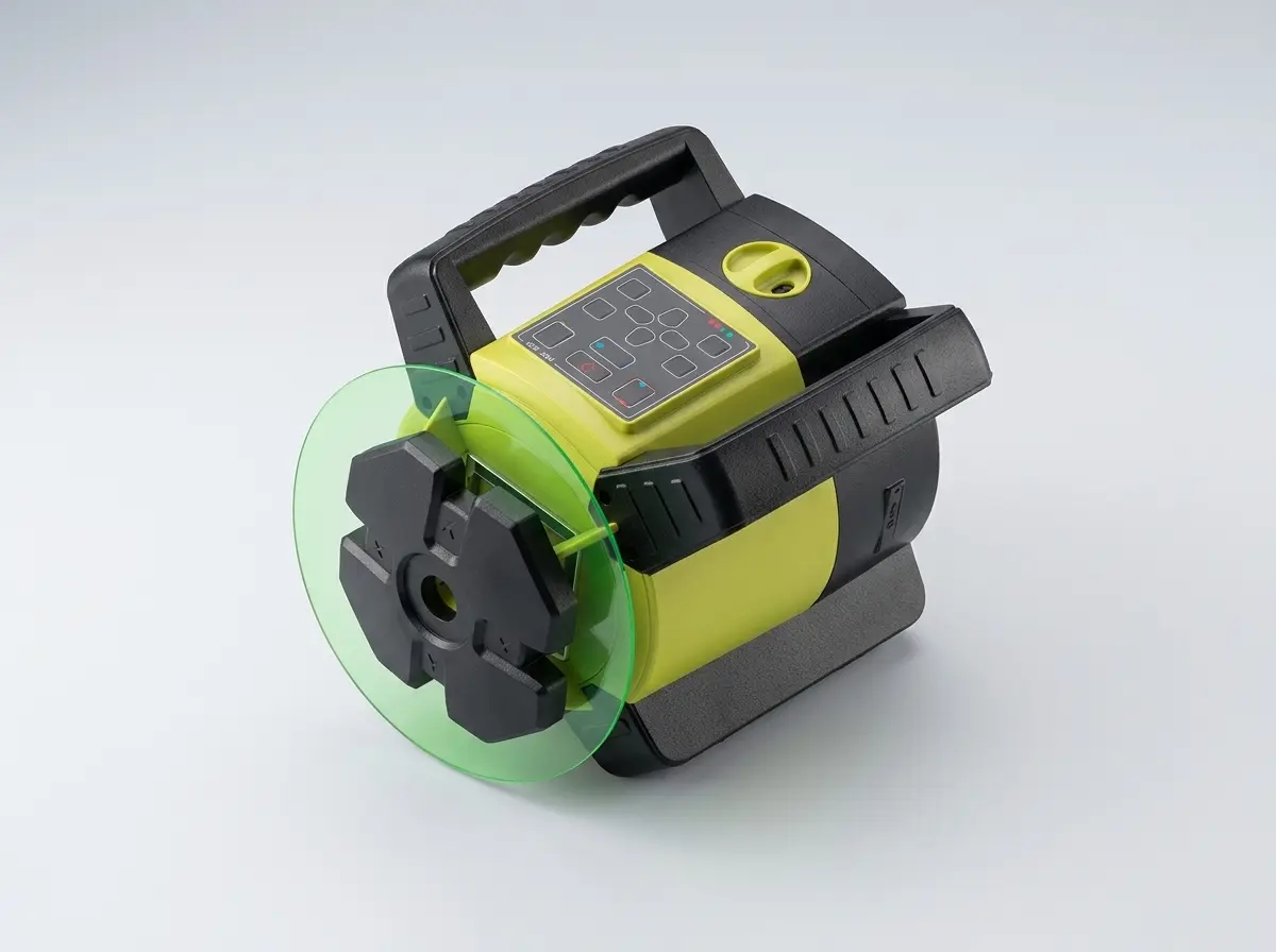
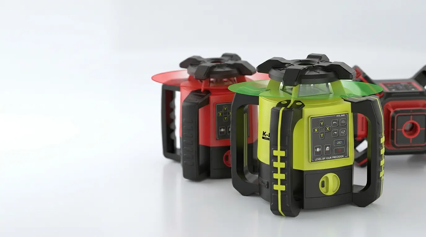
KRL-540 Series
2 Models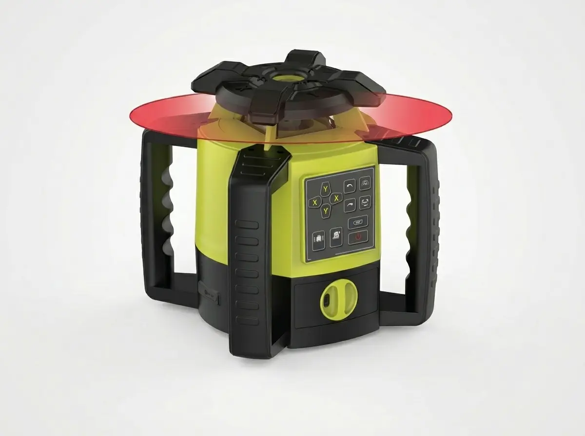
KRL-640 Series
2 Models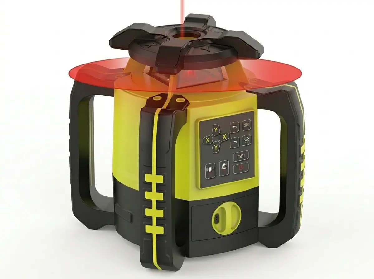
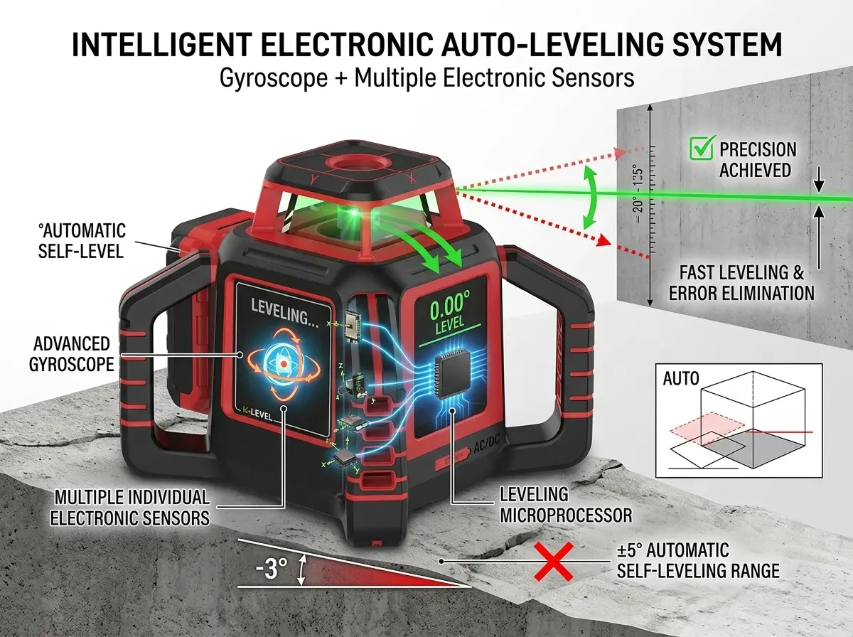
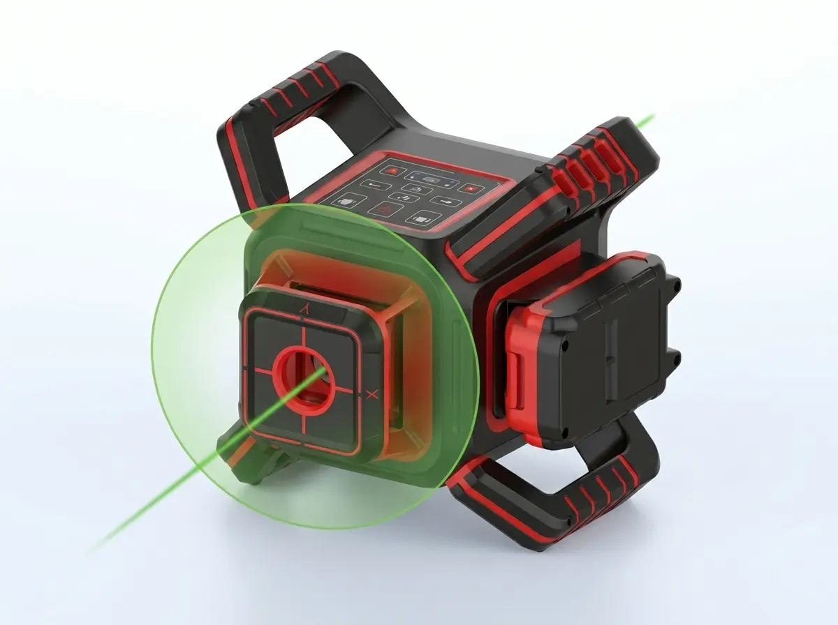
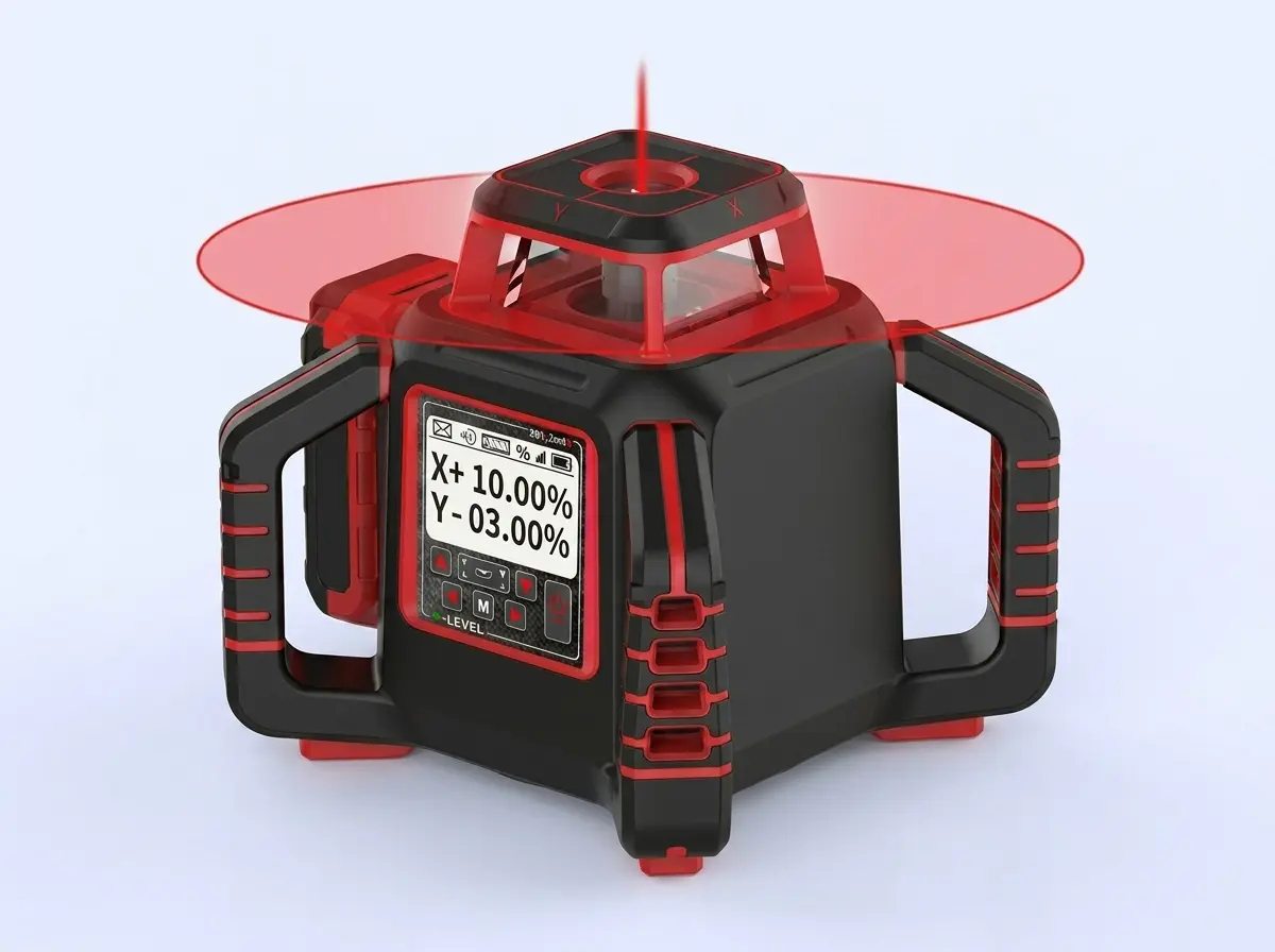
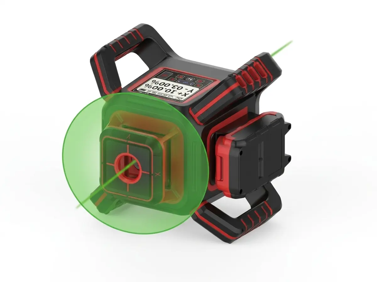
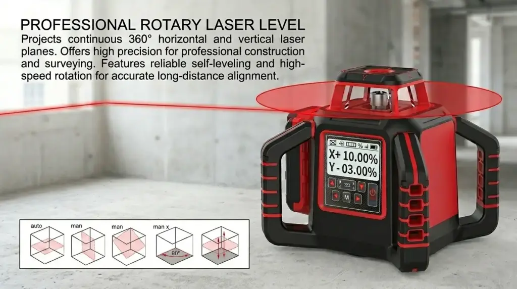
Intelligent Electronic Auto-Leveling System
All models feature advanced electronic leveling technology (gyroscope + multiple individual electronic sensors), with a leveling range of ±5°. This enables fast and automatic self-leveling, effectively eliminating manual errors and significantly improving construction efficiency and precision.
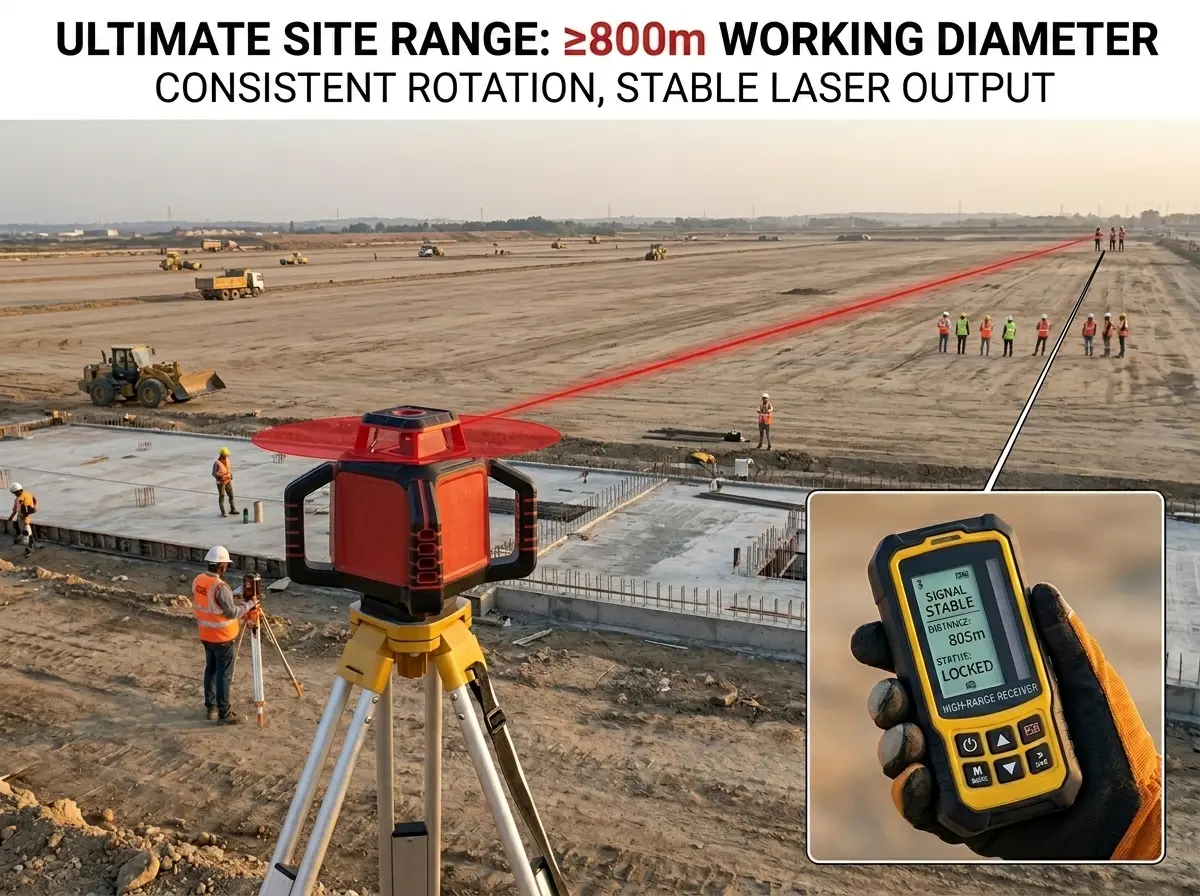
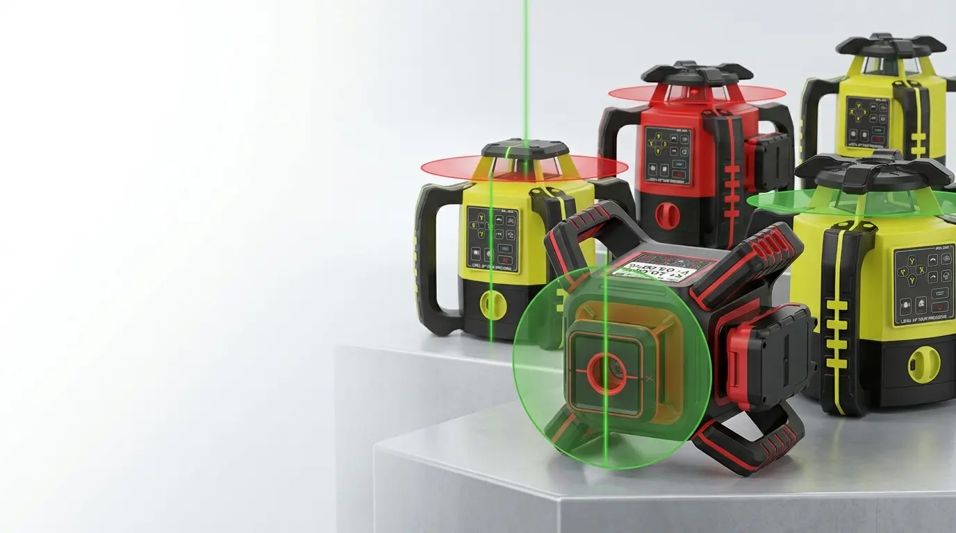
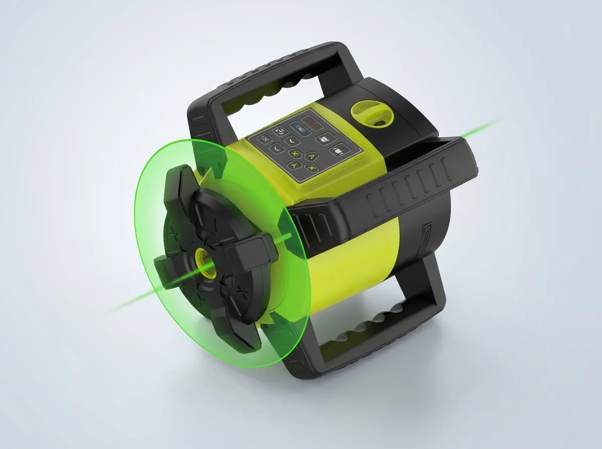
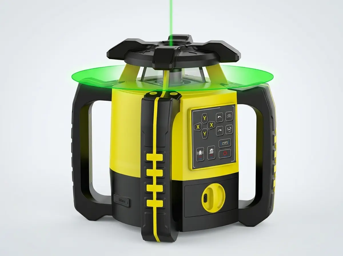
Ultra-Long Working Distance and Stable Laser Output
The entire series offers a working diameter of ≥800m (with LP500 Basic receiver), combined with consistent laser rotation speeds. This fully meets the demands of large-area and long-distance construction projects, delivering efficient performance both indoors and outdoors.
Wide Range of Models for Different Applications
From mini prisms (12.7mm / 17.8mm) to standard and 64mm high-precision prisms, the product range covers diverse surveying needs. Whether for compact setups, general measurement, or long-range applications up to 1500 meters, users can select the ideal model for their specific project requirements.
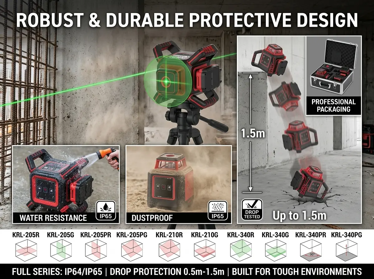
Robust and Durable Protective Design
The full series achieves IP64/IP65 protection ratings for dust and water resistance, along with drop protection from 0.5m to 1.5m (main unit only). The sturdy body and professional packaging guarantee long-term stable performance in demanding construction environments.
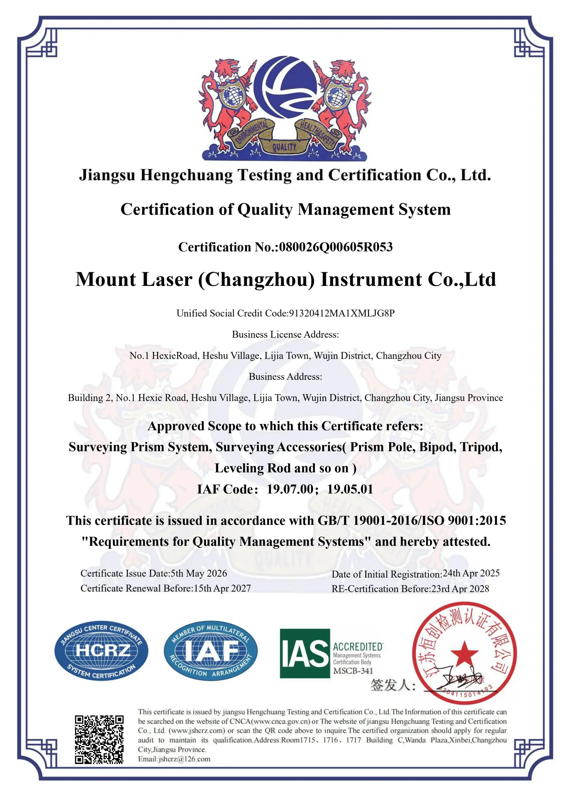
Corporate Honors & Certifications
Certified by internationally recognized quality systems and industry organizations, demonstrating our commitment to precision manufacturing, strict quality control, and long-term reliability in surveying instrument production.
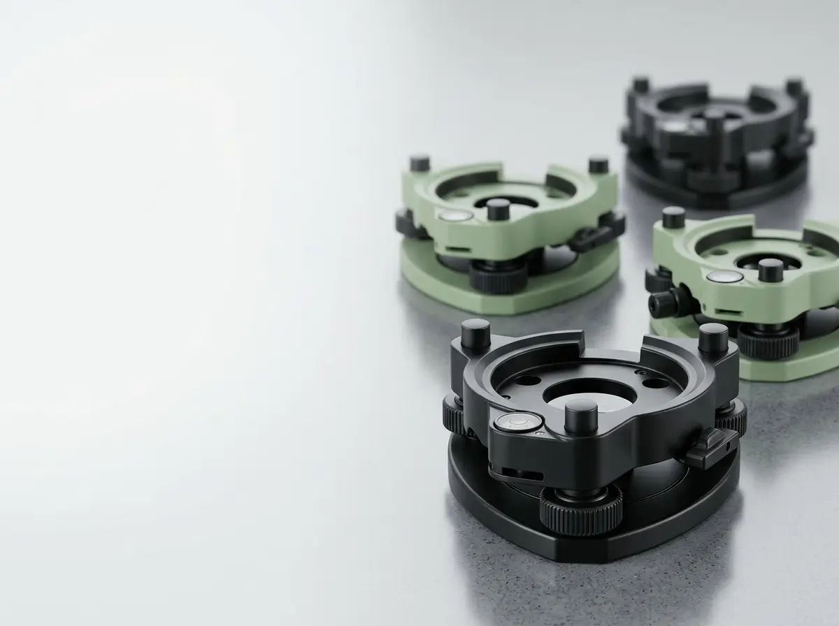
Tribrach and Adapter
58 Items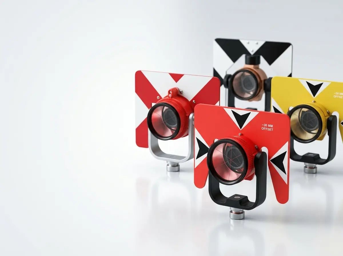
Prism
40 Items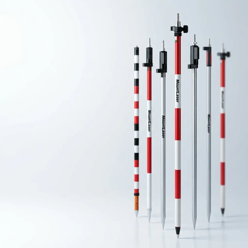
Surveying Pole
24 Items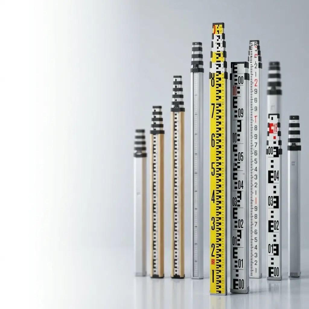
Leveling Staff
12 Items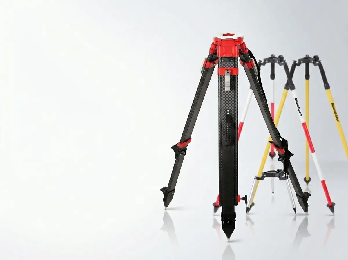
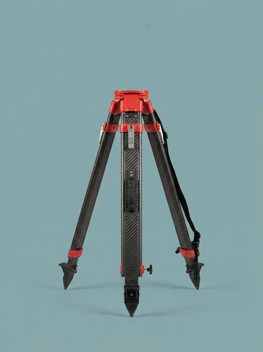
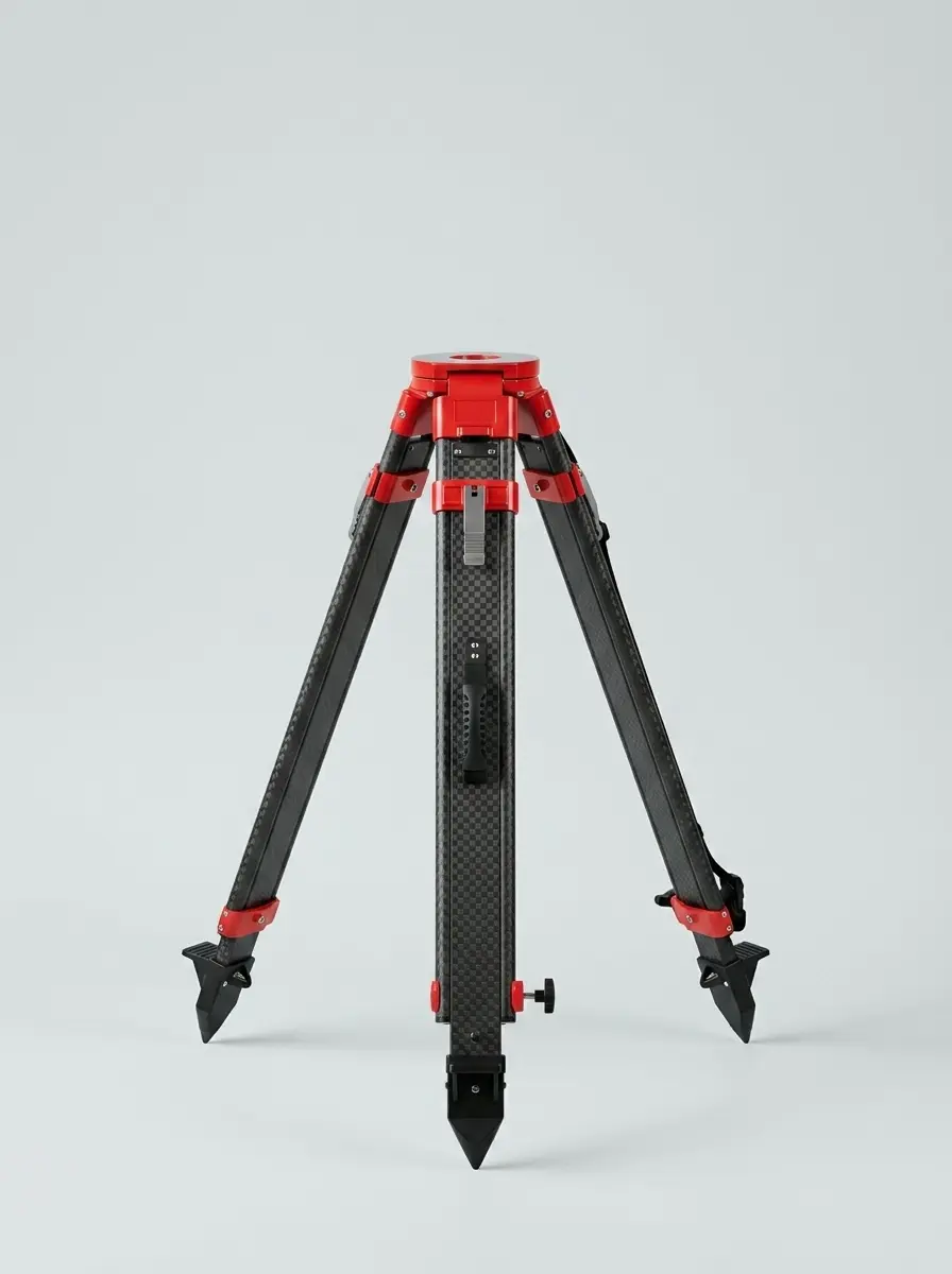
Bipod & Tripod
36 ItemsNew Arrivals
VIEW ALL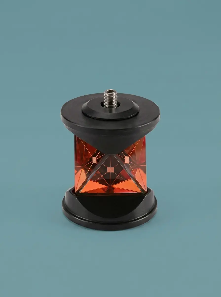
Pryzmat 360 stopni
100% Carbon Fiber Tripod
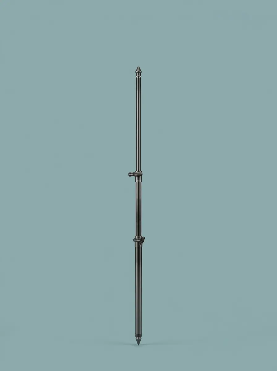
GPS Pole
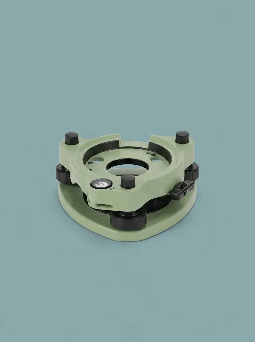
Adapter
100% Carbon Fiber Tripod
Accessories
Good Quality! Highly recommended!

Eliza Evans
Manager
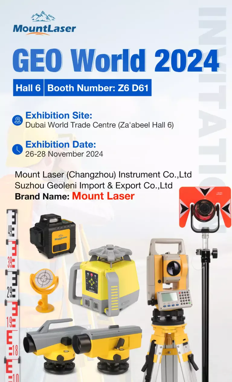
Exhibition Calendar
Track our global exhibition schedule and upcoming events.
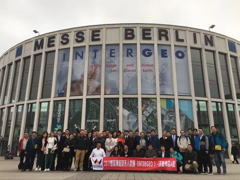
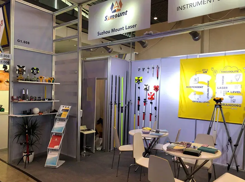
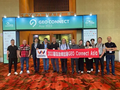
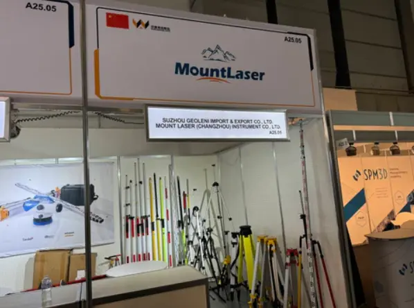
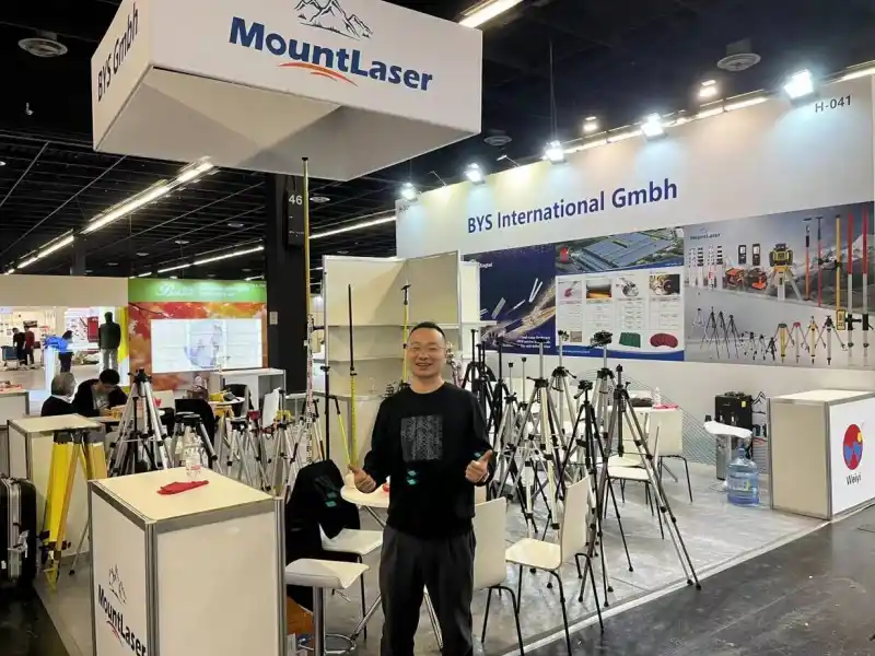
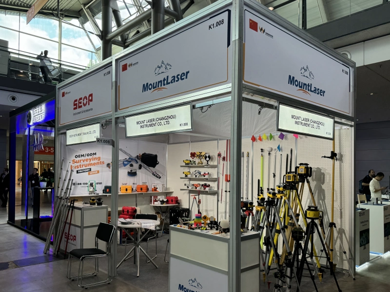
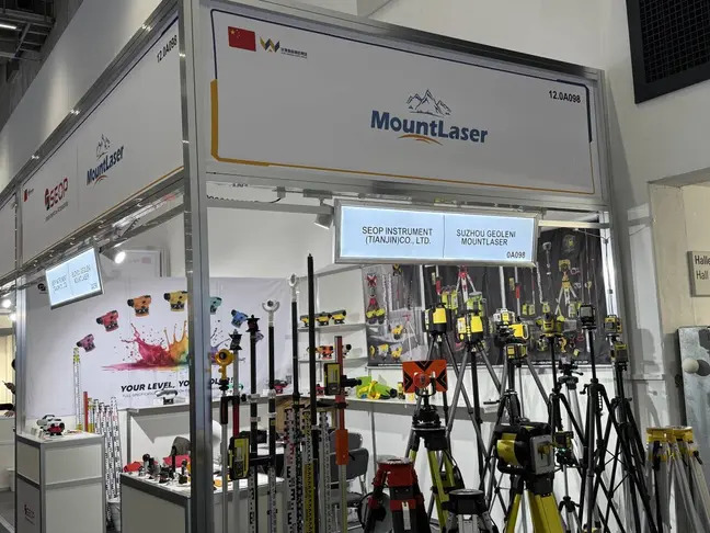
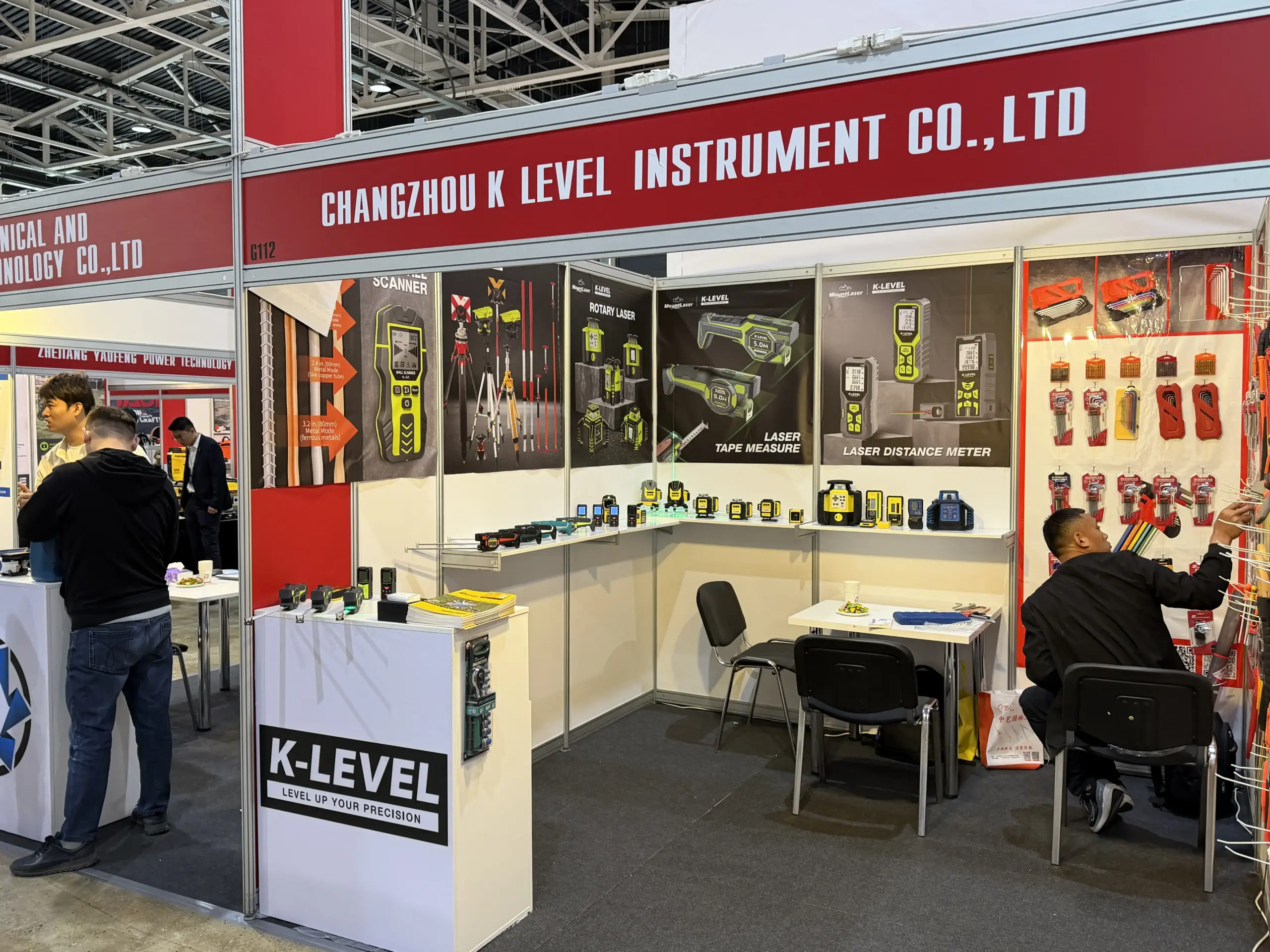
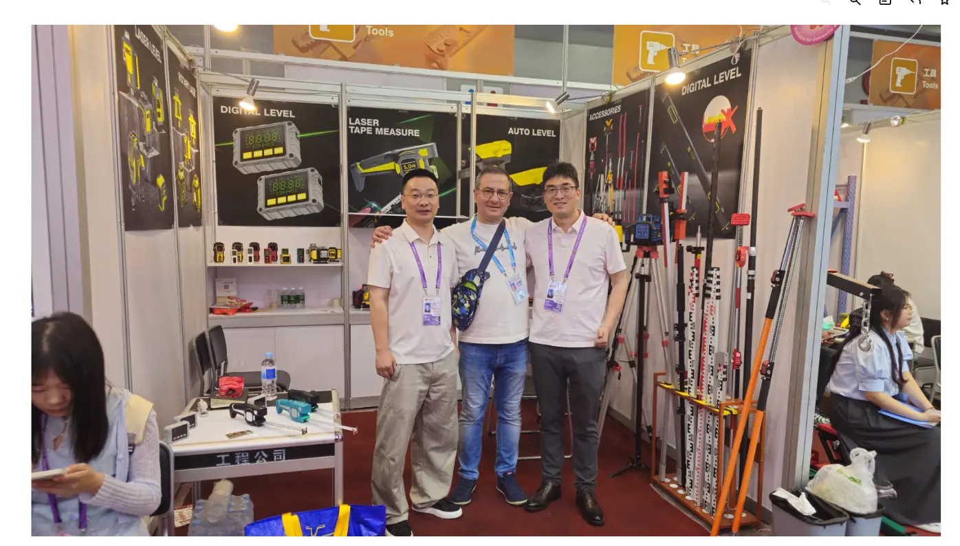
Exhibition Gallery
Highlights from global exhibitions and trade shows.